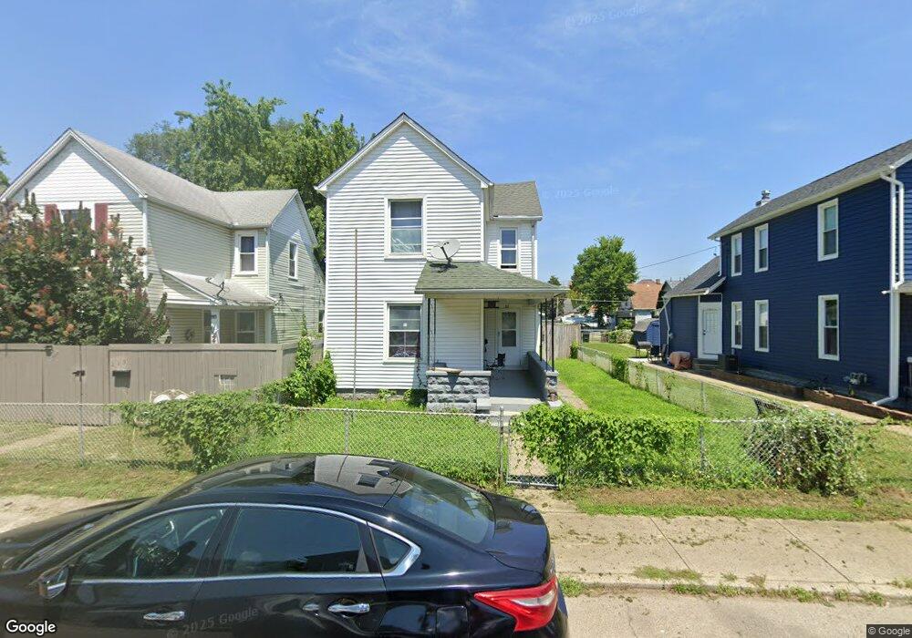
217 Hart St Dayton, OH 45404
Old North Dayton NeighborhoodEstimated Value: $88,000 - $135,000
3
Beds
2
Baths
1,495
Sq Ft
$77/Sq Ft
Est. Value
About This Home
This home is located at 217 Hart St, Dayton, OH 45404 and is currently estimated at $115,299, approximately $77 per square foot. 217 Hart St is a home located in Montgomery County with nearby schools including Kiser Elementary, Ruskin Elementary School, and Liberty High School.
Ownership History
Date
Name
Owned For
Owner Type
Purchase Details
Closed on
Mar 20, 2015
Sold by
Mayes Elaine
Bought by
Federal Home Loan Mortgage Corporation
Current Estimated Value
Purchase Details
Closed on
Jan 21, 1998
Sold by
Edward Mayes William and Florence Brenda
Bought by
Mayes William E and Mayes Elaine
Home Financials for this Owner
Home Financials are based on the most recent Mortgage that was taken out on this home.
Original Mortgage
$37,389
Interest Rate
7.24%
Mortgage Type
VA
Create a Home Valuation Report for This Property
The Home Valuation Report is an in-depth analysis detailing your home's value as well as a comparison with similar homes in the area
Home Values in the Area
Average Home Value in this Area
Purchase History
| Date | Buyer | Sale Price | Title Company |
|---|---|---|---|
| Federal Home Loan Mortgage Corporation | -- | Denver Dil Title | |
| Mayes William E | $26,700 | -- | |
| Mayes William E | $26,700 | -- |
Source: Public Records
Mortgage History
| Date | Status | Borrower | Loan Amount |
|---|---|---|---|
| Previous Owner | Mayes William E | $37,389 |
Source: Public Records
Tax History Compared to Growth
Tax History
| Year | Tax Paid | Tax Assessment Tax Assessment Total Assessment is a certain percentage of the fair market value that is determined by local assessors to be the total taxable value of land and additions on the property. | Land | Improvement |
|---|---|---|---|---|
| 2024 | $1,103 | $17,790 | $2,380 | $15,410 |
| 2023 | $1,103 | $17,790 | $2,380 | $15,410 |
| 2022 | $1,204 | $15,170 | $2,030 | $13,140 |
| 2021 | $1,198 | $15,170 | $2,030 | $13,140 |
| 2020 | $1,197 | $15,170 | $2,030 | $13,140 |
| 2019 | $1,101 | $12,430 | $1,710 | $10,720 |
| 2018 | $1,103 | $12,430 | $1,710 | $10,720 |
| 2017 | $1,095 | $12,430 | $1,710 | $10,720 |
| 2016 | $1,087 | $11,640 | $1,630 | $10,010 |
| 2015 | $1,053 | $11,640 | $1,630 | $10,010 |
| 2014 | $1,053 | $11,640 | $1,630 | $10,010 |
| 2012 | -- | $14,140 | $3,780 | $10,360 |
Source: Public Records
Map
Nearby Homes
- 426 Troy St
- 414 Hart St Unit 412
- 139 Grove Ave
- 147 Grove Ave
- 534 Maryland Ave
- 151 Grove Ave
- 729 Troy St
- 1531 Chapel St
- 730 Troy St
- 82 Notre Dame Ave
- 96 Notre Dame Ave
- 36 Baltimore St
- 719 N Keowee St
- 70 Baltimore St
- 260 Grove Ave
- 726 Taylor St Unit 128
- 739 N Keowee St
- 718 Taylor St
- 159 Alton Ave Unit 157
- 1409 Lamar St