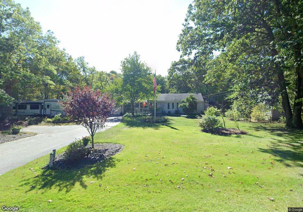
217 Homestead Ave Rehoboth, MA 02769
Estimated Value: $590,000 - $672,000
4
Beds
2
Baths
2,248
Sq Ft
$279/Sq Ft
Est. Value
About This Home
This home is located at 217 Homestead Ave, Rehoboth, MA 02769 and is currently estimated at $627,238, approximately $279 per square foot. 217 Homestead Ave is a home located in Bristol County with nearby schools including Dighton-Rehoboth Regional High School, Grace Baptist Christian Academy, and St Cecilia School.
Ownership History
Date
Name
Owned For
Owner Type
Purchase Details
Closed on
Oct 9, 2020
Sold by
Joanne B Fiorention Ft
Bought by
James J Fiorentino Irt
Current Estimated Value
Purchase Details
Closed on
Feb 4, 2020
Sold by
Fiorentino James C and Fiorentino Jo
Bought by
Fiorentino Ft
Purchase Details
Closed on
May 20, 1988
Sold by
Price Phillip J
Bought by
Fiorentino James C
Create a Home Valuation Report for This Property
The Home Valuation Report is an in-depth analysis detailing your home's value as well as a comparison with similar homes in the area
Home Values in the Area
Average Home Value in this Area
Purchase History
| Date | Buyer | Sale Price | Title Company |
|---|---|---|---|
| James J Fiorentino Irt | -- | None Available | |
| Fiorentino Ft | -- | None Available | |
| Fiorentino James C | $158,000 | -- |
Source: Public Records
Mortgage History
| Date | Status | Borrower | Loan Amount |
|---|---|---|---|
| Previous Owner | Fiorentino James C | $160,970 | |
| Previous Owner | Fiorentino James C | $99,000 | |
| Previous Owner | Fiorentino James C | $30,000 | |
| Previous Owner | Fiorentino James C | $20,000 |
Source: Public Records
Tax History Compared to Growth
Tax History
| Year | Tax Paid | Tax Assessment Tax Assessment Total Assessment is a certain percentage of the fair market value that is determined by local assessors to be the total taxable value of land and additions on the property. | Land | Improvement |
|---|---|---|---|---|
| 2025 | $63 | $565,200 | $194,600 | $370,600 |
| 2024 | $6,150 | $541,400 | $194,600 | $346,800 |
| 2023 | $5,761 | $516,100 | $190,600 | $325,500 |
| 2022 | $5,761 | $454,700 | $182,200 | $272,500 |
| 2021 | $5,570 | $420,700 | $165,900 | $254,800 |
| 2020 | $5,268 | $401,500 | $165,900 | $235,600 |
| 2018 | $4,647 | $388,200 | $158,100 | $230,100 |
| 2017 | $4,253 | $338,600 | $158,100 | $180,500 |
| 2016 | $4,143 | $341,000 | $158,100 | $182,900 |
| 2015 | $3,665 | $297,700 | $150,900 | $146,800 |
| 2014 | $3,614 | $290,500 | $143,700 | $146,800 |
Source: Public Records
Map
Nearby Homes
- 101 Rocky Hill Rd
- 17 Robincrest Ct
- 680 Pine St
- 660 Pine St
- 91 Cross St
- 87 Cross St
- 9 Gerry Dr
- Lot 11 Ledge Hill Ln
- 16 Salisbury St
- 15 Bucklin Dr
- 22 Bucklin Dr
- 7 Ledge Hill Ln
- 154 Fairview Ave
- 132 Fairview Ave
- 52 Carpenter St
- 8 Matt's Way
- 6 Matt's Way
- 55 Burnside Ave
- Lot B Burnside Ave
- 84 Fairview Ave
- 221 Homestead Ave
- 216 Homestead Ave
- 209 Homestead Ave
- 222 Homestead Ave
- 3 Talbot Dr
- 220 Homestead Ave
- 7 Talbot Dr
- 213 Homestead Ave
- 0 Talbot Way Unit 30755902
- 11 Talbot Dr
- 226 Homestead Ave
- 208 Homestead Ave
- 203 Homestead Ave
- 4 Talbot Dr
- 8 Talbot Dr
- 15 Talbot Dr
- 230 Homestead Ave
- 199 Homestead Ave
- 12 Talbot Dr
- 16 Talbot Dr