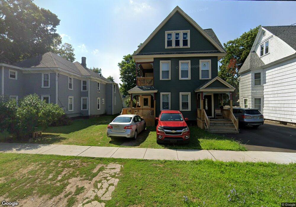
217 Kirk Ave Unit 19 Syracuse, NY 13205
Southside NeighborhoodEstimated Value: $107,000 - $140,122
6
Beds
2
Baths
2,816
Sq Ft
$43/Sq Ft
Est. Value
About This Home
This home is located at 217 Kirk Ave Unit 19, Syracuse, NY 13205 and is currently estimated at $120,281, approximately $42 per square foot. 217 Kirk Ave Unit 19 is a home located in Onondaga County with nearby schools including Steam at Dr King Elementary School, Brighton Academy, and Corcoran High School.
Ownership History
Date
Name
Owned For
Owner Type
Purchase Details
Closed on
Feb 11, 2021
Sold by
Greater Syracu P Dev Corp
Bought by
Grant Leroy
Current Estimated Value
Home Financials for this Owner
Home Financials are based on the most recent Mortgage that was taken out on this home.
Original Mortgage
$104,136
Interest Rate
2.7%
Mortgage Type
Purchase Money Mortgage
Purchase Details
Closed on
Jul 31, 2018
Sold by
Delvecchio David J
Bought by
Syracuse City Of
Purchase Details
Closed on
Apr 6, 2007
Sold by
Est Passage Maria
Bought by
Wheat Sha Sha
Create a Home Valuation Report for This Property
The Home Valuation Report is an in-depth analysis detailing your home's value as well as a comparison with similar homes in the area
Home Values in the Area
Average Home Value in this Area
Purchase History
| Date | Buyer | Sale Price | Title Company |
|---|---|---|---|
| Grant Leroy | $2,500 | None Available | |
| Grant Leroy | $2,500 | None Available | |
| Grant Leroy | $2,500 | None Available | |
| Syracuse City Of | $1,209 | -- | |
| Syracuse City Of | $1,209 | -- | |
| Syracuse City Of | $1,209 | -- | |
| Wheat Sha Sha | $15,000 | -- | |
| Wheat Sha Sha | $15,000 | -- |
Source: Public Records
Mortgage History
| Date | Status | Borrower | Loan Amount |
|---|---|---|---|
| Previous Owner | Grant Leroy | $104,136 |
Source: Public Records
Tax History Compared to Growth
Tax History
| Year | Tax Paid | Tax Assessment Tax Assessment Total Assessment is a certain percentage of the fair market value that is determined by local assessors to be the total taxable value of land and additions on the property. | Land | Improvement |
|---|---|---|---|---|
| 2024 | -- | $42,000 | $3,600 | $38,400 |
| 2023 | $897 | $20,000 | $3,600 | $16,400 |
| 2022 | $895 | $20,000 | $3,600 | $16,400 |
| 2021 | $895 | $20,000 | $3,600 | $16,400 |
| 2020 | $3,691 | $20,000 | $3,600 | $16,400 |
| 2019 | $3,691 | $25,000 | $3,600 | $21,400 |
| 2018 | $3,691 | $38,000 | $3,600 | $34,400 |
| 2017 | $1,084 | $38,000 | $3,600 | $34,400 |
| 2016 | $1,096 | $38,000 | $3,600 | $34,400 |
| 2015 | -- | $38,000 | $3,600 | $34,400 |
| 2014 | -- | $38,000 | $3,600 | $34,400 |
Source: Public Records
Map
Nearby Homes
- 221 Mclennan Ave Unit 23
- 128 Mclennan Ave
- 1039 Midland Ave
- 152 W Kennedy St
- 269 Mclennan Ave
- 1110 Midland Ave
- 121 W Borden Ave
- 111 W Borden Ave Unit 13
- 927 Midland Ave
- 308 W Beard Ave
- 118-20 E Borden Ave Unit 20
- 237 Doctor Martin Luther King W
- 1330 Midland Ave
- 1484 S State St
- 1404 Midland Ave
- 2023 S Salina St
- 1721 S State St Unit 23
- 462 Cortland Ave
- 152 Fage Ave Unit 54
- 139 Cannon St
- 211 Kirk Ave
- 207 Kirk Ave
- 223 Kirk Ave
- 201 Kirk Ave
- 206 Kirk Ave
- 210 Kirk Ave
- 222 Kirk Ave
- 227 Kirk Ave
- 200 Landon Ave Unit 2
- 200 Kirk Ave Unit 4
- 226 Kirk Ave
- 204 Landon Ave
- 233 Kirk Ave
- 210 Mclennan Ave
- 218 Mclennan Ave
- 232 Kirk Ave
- 222 Mclennan Ave
- 237 Kirk Ave Unit 39
- 104 Landon Ave
- 206 Mclennan Ave