217 Lambert Rd Lagrange, GA 30240
Estimated Value: $254,000 - $322,438
3
Beds
3
Baths
1,861
Sq Ft
$155/Sq Ft
Est. Value
About This Home
This home is located at 217 Lambert Rd, Lagrange, GA 30240 and is currently estimated at $288,610, approximately $155 per square foot. 217 Lambert Rd is a home located in Troup County with nearby schools including Long Cane Elementary School, West Point Elementary School, and Berta Weathersbee Elementary School.
Ownership History
Date
Name
Owned For
Owner Type
Purchase Details
Closed on
Mar 19, 2003
Sold by
Thomas E Miller
Bought by
Grover Ii Howard L and Grover Jacquelin
Current Estimated Value
Purchase Details
Closed on
Dec 23, 1998
Sold by
Howard Grover Int
Bought by
Thomas E Miller
Purchase Details
Closed on
Nov 1, 1989
Sold by
Grover Va and Grover M
Bought by
Howard Grover Int
Purchase Details
Closed on
Sep 1, 1987
Sold by
Miller Thmoas E Etal
Bought by
Grover Va and Grover M
Purchase Details
Closed on
Jan 1, 1974
Bought by
Miller Thmoas E Etal
Create a Home Valuation Report for This Property
The Home Valuation Report is an in-depth analysis detailing your home's value as well as a comparison with similar homes in the area
Purchase History
| Date | Buyer | Sale Price | Title Company |
|---|---|---|---|
| Grover Ii Howard L | $4,000 | -- | |
| Thomas E Miller | -- | -- | |
| Howard Grover Int | -- | -- | |
| Grover Va | $83,000 | -- | |
| Miller Thmoas E Etal | -- | -- |
Source: Public Records
Tax History
| Year | Tax Paid | Tax Assessment Tax Assessment Total Assessment is a certain percentage of the fair market value that is determined by local assessors to be the total taxable value of land and additions on the property. | Land | Improvement |
|---|---|---|---|---|
| 2025 | $2,672 | $103,240 | $9,080 | $94,160 |
| 2024 | $2,511 | $94,040 | $9,080 | $84,960 |
| 2023 | $2,421 | $90,760 | $9,080 | $81,680 |
| 2022 | $2,357 | $86,440 | $9,080 | $77,360 |
| 2021 | $2,615 | $88,680 | $12,120 | $76,560 |
| 2020 | $2,615 | $88,680 | $12,120 | $76,560 |
| 2019 | $2,577 | $87,440 | $12,120 | $75,320 |
| 2018 | $2,371 | $80,600 | $12,120 | $68,480 |
| 2017 | $2,371 | $80,600 | $12,120 | $68,480 |
| 2016 | $2,381 | $80,918 | $12,156 | $68,762 |
| 2015 | $2,385 | $80,918 | $12,156 | $68,762 |
| 2014 | $2,050 | $69,709 | $9,117 | $60,592 |
| 2013 | -- | $69,709 | $9,117 | $60,592 |
Source: Public Records
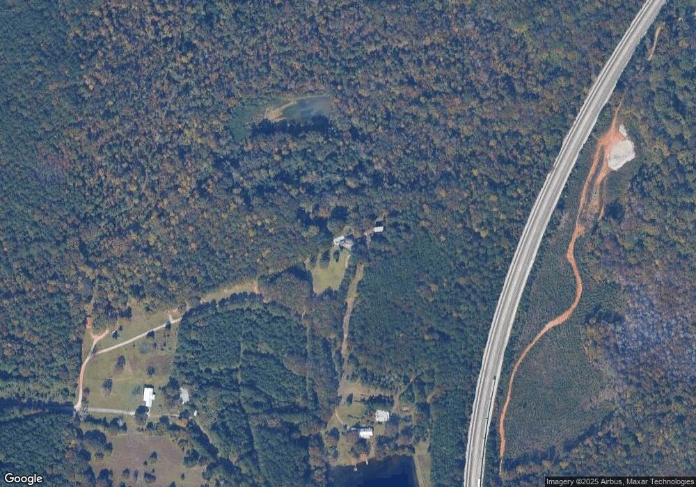
Map
Nearby Homes
- 0 Lambert Rd
- Sandtown Road Unit: 1 2+ - Acre
- 0 Sandtown Rd Unit 10255987
- 90 Hickory Ln
- 5714 W Point Rd
- 0 Warner Rd Unit 10686116
- 648 Warner Rd
- 102 Bridgewater Dr
- 107 Sweetwater Ct
- 107 Waters Edge Dr
- 206 Ann Murphy Rd
- 4172 Bartley Rd
- 101 Garden Walk Unit 85
- 0 Johns Rd Unit 10615130
- 0 Samples Rd Unit 10705121
- 107 Amhurst Dr
- 0 Ga Highway 0116 Unit 10619139
- 1903 Ridgewood Dr
- 508 Pine St
- 0 Cannonville Rd
- 219 Lambert Rd
- 220 Lambert Rd
- 215 Lambert Rd
- 200 Lambert Rd
- 244 Acres Lambert Rd
- 118 Gabbettville Cir
- 190 Lambert Rd
- 244 AC Lambert Rd
- 180 Gabbettville Cir
- 6211 West Point Rd
- 270 Gabbettville Cir
- 6277 West Point Rd
- 11.33 ACRES Gabbettville Cir
- 58 Gabbettville Cir
- 58 Gabbettville Cir
- 194 Lambert Rd
- 6319 W Point Rd
- 6319 West Point Rd
- 18 Gabbettville Cir
- 6224 West Point
Your Personal Tour Guide
Ask me questions while you tour the home.