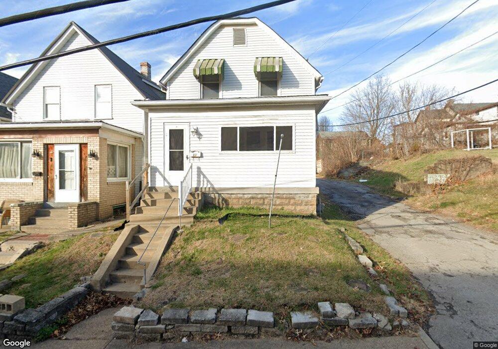
217 Locust St New Kensington, PA 15068
Estimated Value: $45,000 - $82,000
--
Bed
--
Bath
1,280
Sq Ft
$50/Sq Ft
Est. Value
About This Home
This home is located at 217 Locust St, New Kensington, PA 15068 and is currently estimated at $64,132, approximately $50 per square foot. 217 Locust St is a home located in Westmoreland County with nearby schools including Mary Queen of Apostles School.
Ownership History
Date
Name
Owned For
Owner Type
Purchase Details
Closed on
Jan 11, 2017
Sold by
Henson Timothy E
Bought by
Mediang Greg
Current Estimated Value
Create a Home Valuation Report for This Property
The Home Valuation Report is an in-depth analysis detailing your home's value as well as a comparison with similar homes in the area
Home Values in the Area
Average Home Value in this Area
Purchase History
| Date | Buyer | Sale Price | Title Company |
|---|---|---|---|
| Mediang Greg | $3,370 | None Available |
Source: Public Records
Tax History Compared to Growth
Tax History
| Year | Tax Paid | Tax Assessment Tax Assessment Total Assessment is a certain percentage of the fair market value that is determined by local assessors to be the total taxable value of land and additions on the property. | Land | Improvement |
|---|---|---|---|---|
| 2025 | $728 | $4,560 | $1,610 | $2,950 |
| 2024 | $721 | $4,560 | $1,610 | $2,950 |
| 2023 | $682 | $4,560 | $1,610 | $2,950 |
| 2022 | $662 | $4,560 | $1,610 | $2,950 |
| 2021 | $647 | $4,560 | $1,610 | $2,950 |
| 2020 | $633 | $4,560 | $1,610 | $2,950 |
| 2019 | $617 | $4,560 | $1,610 | $2,950 |
| 2018 | $608 | $8,350 | $1,610 | $6,740 |
| 2017 | $1,096 | $8,350 | $1,610 | $6,740 |
| 2016 | $1,155 | $8,800 | $1,610 | $7,190 |
| 2015 | $1,155 | $8,800 | $1,610 | $7,190 |
| 2014 | $1,110 | $8,800 | $1,610 | $7,190 |
Source: Public Records
Map
Nearby Homes
- 201 Locust St
- 105 Locust St
- 1233 Kenneth Ave
- 1134 Leishman Ave
- 1240 Victoria Ave
- 1218 Woodmont Ave
- 1025 Kenneth Ave
- 125 North St
- 1312 Woodmont Ave
- 1512 Kenneth Ave
- 318 Ridge Ave
- 1506 Victoria Ave
- 486 McCargo St
- 1308 Taylor Ave
- 1521 Victoria Ave
- 254 Ridge Ave
- 1379 5th Ave
- 327 Charles Ave
- 1515 Woodmont Ave
- 108 Mccandless St
- 213 Locust St
- 209 Locust St
- 205 Locust St
- 1201 Leishman Ave
- 1214 Kenneth Ave
- 1211 Leishman Ave
- 1205 Leishman Ave
- 1205 Leishman Ave
- 1213 Leishman Ave
- 1215 Leishman Ave
- 1217 Leishman Ave
- 1224 Kenneth Ave
- 1221 Leishman Ave
- 113 Locust St
- 109 Locust St
- 1209 Kenneth Ave
- 101 Locust St Unit 17
- 1226 1/2 Leishman Ave
- 1227 Leishman Ave
- 1213 Kenneth Ave