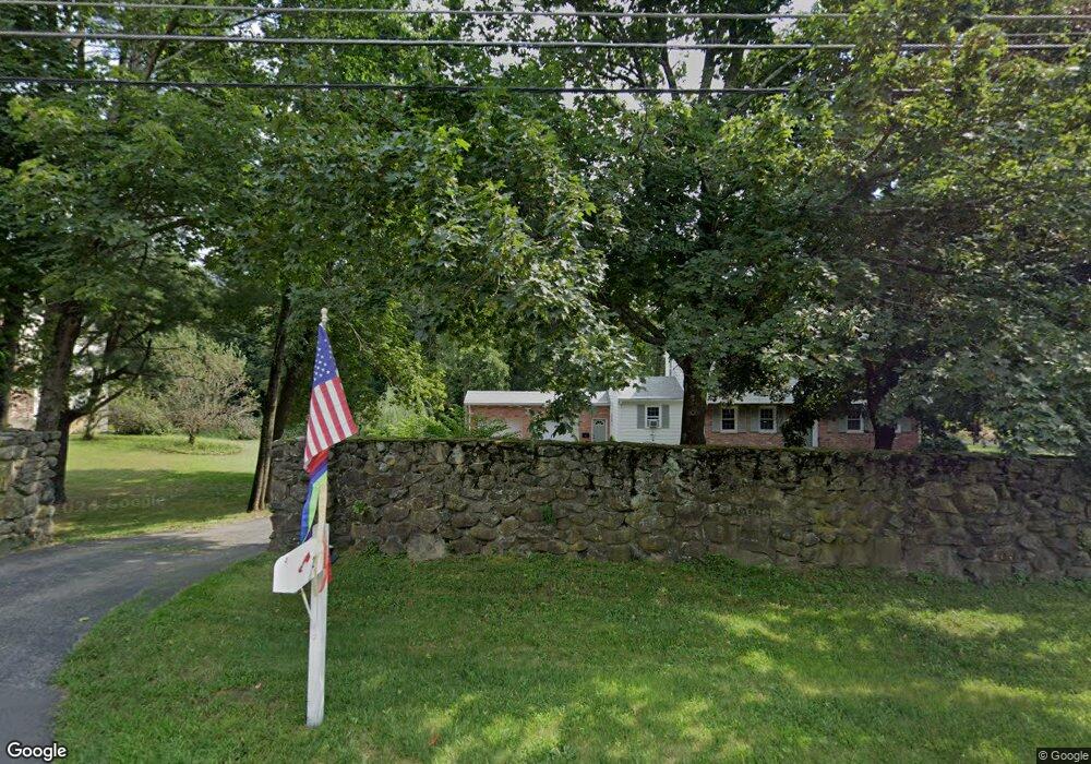
217 Main St Medway, MA 02053
Estimated Value: $716,000 - $793,000
3
Beds
2
Baths
2,135
Sq Ft
$352/Sq Ft
Est. Value
About This Home
This home is located at 217 Main St, Medway, MA 02053 and is currently estimated at $750,963, approximately $351 per square foot. 217 Main St is a home located in Norfolk County with nearby schools including John D. McGovern Elementary School, Burke-Memorial Elementary, and Medway Middle School.
Ownership History
Date
Name
Owned For
Owner Type
Purchase Details
Closed on
Dec 22, 2009
Sold by
Zaccaria Michael S
Bought by
Monahan James J and Pomfred Melissa A
Current Estimated Value
Home Financials for this Owner
Home Financials are based on the most recent Mortgage that was taken out on this home.
Original Mortgage
$354,461
Outstanding Balance
$232,384
Interest Rate
5%
Mortgage Type
Purchase Money Mortgage
Estimated Equity
$518,579
Purchase Details
Closed on
Jul 1, 2005
Sold by
Cornelia Susan E
Bought by
Zaccaria Michael S
Home Financials for this Owner
Home Financials are based on the most recent Mortgage that was taken out on this home.
Original Mortgage
$372,000
Interest Rate
5.73%
Mortgage Type
Purchase Money Mortgage
Create a Home Valuation Report for This Property
The Home Valuation Report is an in-depth analysis detailing your home's value as well as a comparison with similar homes in the area
Home Values in the Area
Average Home Value in this Area
Purchase History
| Date | Buyer | Sale Price | Title Company |
|---|---|---|---|
| Monahan James J | $361,000 | -- | |
| Zaccaria Michael S | $465,000 | -- |
Source: Public Records
Mortgage History
| Date | Status | Borrower | Loan Amount |
|---|---|---|---|
| Open | Monahan James J | $354,461 | |
| Previous Owner | Zaccaria Michael S | $372,000 |
Source: Public Records
Tax History Compared to Growth
Tax History
| Year | Tax Paid | Tax Assessment Tax Assessment Total Assessment is a certain percentage of the fair market value that is determined by local assessors to be the total taxable value of land and additions on the property. | Land | Improvement |
|---|---|---|---|---|
| 2025 | $8,331 | $584,600 | $280,400 | $304,200 |
| 2024 | $8,418 | $584,600 | $280,400 | $304,200 |
| 2023 | $8,233 | $516,500 | $245,600 | $270,900 |
| 2022 | $7,263 | $429,000 | $208,600 | $220,400 |
| 2021 | $7,344 | $420,600 | $189,000 | $231,600 |
| 2020 | $6,979 | $398,800 | $167,200 | $231,600 |
| 2019 | $6,810 | $401,300 | $180,200 | $221,100 |
| 2018 | $5,925 | $335,500 | $136,700 | $198,800 |
| 2017 | $6,012 | $335,500 | $136,700 | $198,800 |
| 2016 | $5,618 | $310,200 | $114,900 | $195,300 |
| 2015 | $5,240 | $287,300 | $114,900 | $172,400 |
| 2014 | $5,562 | $295,200 | $137,600 | $157,600 |
Source: Public Records
Map
Nearby Homes
- 220 Main St Unit 220
- 5 Fales St
- 28 Wellington St
- 6 Freedom Trail
- 176 Main St Unit 3
- 21 Riverside Rd
- 4 Shaw St
- 280 Village St Unit D2
- 39 West St
- 18 Mary Anne Dr
- 462 Hartford Ave
- 455 Hartford Ave
- 0 Old Log Lane (Farm St) Unit 73416329
- 951 Pond St
- 14 Heritage Dr
- 14 Hawthorne Village Unit D
- 22 Sunset Dr
- 387 Hartford Ave
- 0 Elm St
- 9 Tulip Way
- 4 Sherwood Dr
- 6 Sherwood Dr
- 13 Franklin St
- 213 Main St
- 2 Sherwood Dr
- 211 Main St
- 219 Main St
- 358 Village St
- 221 Main St
- 209 Main St
- 209 Main St Unit B
- 209B Main St Unit Second Floor
- 209 Main St Unit 3
- 1 Sherwood Dr
- 15 Franklin St
- 5 Sherwood Dr
- 214 Main St
- 220 Main St Unit 6
- 218 Main St
- 218 Main St Unit 218