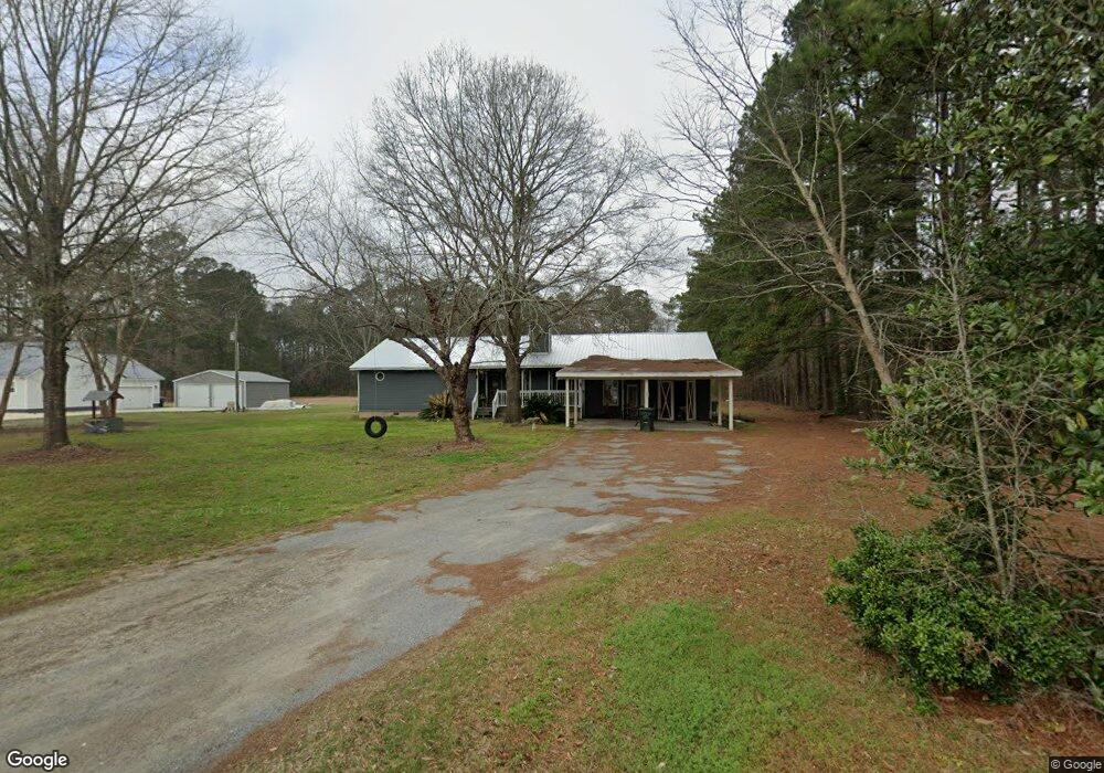
217 Melinda Dr Moncks Corner, SC 29461
Estimated Value: $374,000 - $436,000
3
Beds
2
Baths
1,952
Sq Ft
$208/Sq Ft
Est. Value
About This Home
This home is located at 217 Melinda Dr, Moncks Corner, SC 29461 and is currently estimated at $406,414, approximately $208 per square foot. 217 Melinda Dr is a home located in Berkeley County with nearby schools including Whitesville Elementary School, Berkeley Middle School, and Berkeley High School.
Ownership History
Date
Name
Owned For
Owner Type
Purchase Details
Closed on
Aug 27, 2019
Sold by
Huff Jackie E
Bought by
Huff Gloria E
Current Estimated Value
Home Financials for this Owner
Home Financials are based on the most recent Mortgage that was taken out on this home.
Original Mortgage
$35,000
Interest Rate
3.7%
Mortgage Type
Credit Line Revolving
Create a Home Valuation Report for This Property
The Home Valuation Report is an in-depth analysis detailing your home's value as well as a comparison with similar homes in the area
Purchase History
| Date | Buyer | Sale Price | Title Company |
|---|---|---|---|
| Huff Gloria E | -- | None Available |
Source: Public Records
Mortgage History
| Date | Status | Borrower | Loan Amount |
|---|---|---|---|
| Closed | Huff Gloria E | $35,000 |
Source: Public Records
Tax History
| Year | Tax Paid | Tax Assessment Tax Assessment Total Assessment is a certain percentage of the fair market value that is determined by local assessors to be the total taxable value of land and additions on the property. | Land | Improvement |
|---|---|---|---|---|
| 2025 | $1,089 | $231,610 | $47,315 | $184,295 |
| 2024 | $1,042 | $9,265 | $1,893 | $7,372 |
| 2023 | $1,042 | $9,265 | $1,893 | $7,372 |
| 2022 | $1,044 | $8,056 | $1,476 | $6,580 |
| 2021 | $1,070 | $8,060 | $1,476 | $6,580 |
| 2020 | $3,406 | $8,056 | $1,476 | $6,580 |
| 2019 | $1,075 | $12,084 | $2,214 | $9,870 |
| 2018 | $1,042 | $7,412 | $1,432 | $5,980 |
| 2017 | $963 | $7,412 | $1,432 | $5,980 |
| 2016 | $986 | $7,410 | $1,430 | $5,980 |
| 2015 | $910 | $7,410 | $1,430 | $5,980 |
| 2014 | $896 | $7,410 | $1,430 | $5,980 |
| 2013 | -- | $7,410 | $1,430 | $5,980 |
Source: Public Records
Map
Nearby Homes
- 240 Groomsville Rd
- 335 Hillman Trail Dr
- 200 Foxbank Plantation Blvd
- 131 Canterhill Ln
- 468 Eagleview Dr
- 519 Eagleview Dr
- 222 Weeping Cypress Dr
- 117 Forest Springs Rd
- 455 Eagleview Dr
- 453 Eagleview Dr
- 677 Black Pine Rd
- 403 Brookgreen Dr
- 428 Eagleview Dr
- 424 Eagleview Dr
- 728 Sportsman Rd
- 138 Lisenby Dr
- 0 Lazy Hill Rd
- 575 Pendleton Dr
- 865 Recess Point Dr 25 Dr
- 356 Herty Park Dr Unit 77
- 209 Melinda Dr
- 214 Melinda Dr
- 201 Melinda Dr
- 231 Melinda Dr
- 230 Melinda Dr
- 125 Melinda Dr
- 200 Melinda Dr
- 139 Deer Track Ln
- 0 Melinda Dr
- 119 Melinda Dr
- 133 Deer Track Ln
- 0 Deer Track Ln
- 0 Russ Ln
- 208 Bent Pine Ln
- 161 Groomsville Rd
- 106 Russ Ln
- 517 Lazy Hill Rd
- 551 Lazy Hill Rd
- 541 Lazy Hill Rd
- 565 Lazy Hill Rd
Your Personal Tour Guide
Ask me questions while you tour the home.