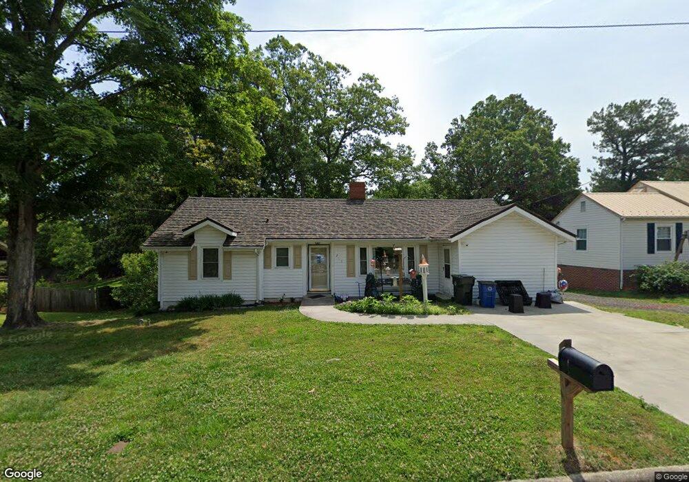
217 Moore St Thomasville, NC 27360
Estimated Value: $99,000 - $194,000
2
Beds
1
Bath
3,140
Sq Ft
$52/Sq Ft
Est. Value
About This Home
This home is located at 217 Moore St, Thomasville, NC 27360 and is currently estimated at $164,277, approximately $52 per square foot. 217 Moore St is a home located in Davidson County with nearby schools including Thomasville Primary School, Liberty Drive Elementary School, and Thomasville Middle School.
Ownership History
Date
Name
Owned For
Owner Type
Purchase Details
Closed on
Apr 30, 2009
Sold by
U S Bank National Association Nd
Bought by
Baldwin Sharon Little
Current Estimated Value
Home Financials for this Owner
Home Financials are based on the most recent Mortgage that was taken out on this home.
Original Mortgage
$24,000
Interest Rate
4.89%
Mortgage Type
Purchase Money Mortgage
Purchase Details
Closed on
Aug 14, 2008
Sold by
Mitchell Sherrilyn Gaye
Bought by
Mitchell Tyrone
Purchase Details
Closed on
Jul 1, 1999
Purchase Details
Closed on
Aug 1, 1996
Create a Home Valuation Report for This Property
The Home Valuation Report is an in-depth analysis detailing your home's value as well as a comparison with similar homes in the area
Home Values in the Area
Average Home Value in this Area
Purchase History
| Date | Buyer | Sale Price | Title Company |
|---|---|---|---|
| Baldwin Sharon Little | $30,000 | None Available | |
| Mitchell Tyrone | -- | None Available | |
| -- | $72,000 | -- | |
| -- | -- | -- |
Source: Public Records
Mortgage History
| Date | Status | Borrower | Loan Amount |
|---|---|---|---|
| Closed | Baldwin Sharon Little | $24,000 |
Source: Public Records
Tax History
| Year | Tax Paid | Tax Assessment Tax Assessment Total Assessment is a certain percentage of the fair market value that is determined by local assessors to be the total taxable value of land and additions on the property. | Land | Improvement |
|---|---|---|---|---|
| 2025 | $1,371 | $102,700 | $0 | $0 |
| 2024 | $1,371 | $102,700 | $0 | $0 |
| 2023 | $1,371 | $102,700 | $0 | $0 |
| 2022 | $1,169 | $87,620 | $0 | $0 |
| 2021 | $1,174 | $87,620 | $0 | $0 |
| 2020 | $1,088 | $82,770 | $0 | $0 |
| 2019 | $1,109 | $82,770 | $0 | $0 |
| 2018 | $1,109 | $82,770 | $0 | $0 |
| 2017 | $1,093 | $82,770 | $0 | $0 |
| 2016 | $1,044 | $81,560 | $0 | $0 |
| 2015 | $1,044 | $81,560 | $0 | $0 |
| 2014 | $1,117 | $87,300 | $0 | $0 |
Source: Public Records
Map
Nearby Homes
- 206 Stone St
- 407 Davidson St
- 600 Clay St Unit 602
- 315 Small St
- 105 Charles St
- 811 Douglas Dr
- 801 Bowerwood Dr
- 100 Carr St
- 316 Spring St
- 403 Spring St
- 15 Church St
- 301 Brown St
- 135 Pineywood St
- 6 Forsyth St
- 200 Salem St
- 208 Wagstaff St
- 0 Julia Ave
- 304 Phillips St
- 16 W Colonial Dr
- 0000 Old Lexington Rd
Your Personal Tour Guide
Ask me questions while you tour the home.