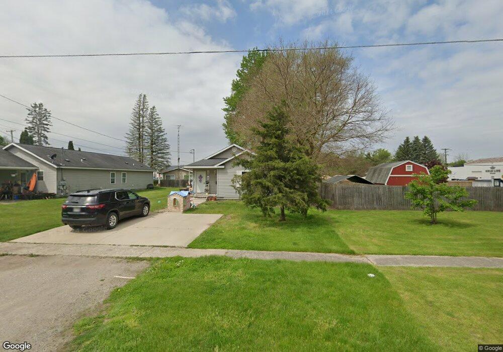
217 N Clark St Unit 218 Chesaning, MI 48616
Estimated Value: $155,000 - $216,000
4
Beds
2
Baths
1,580
Sq Ft
$119/Sq Ft
Est. Value
About This Home
This home is located at 217 N Clark St Unit 218, Chesaning, MI 48616 and is currently estimated at $187,333, approximately $118 per square foot. 217 N Clark St Unit 218 is a home located in Saginaw County with nearby schools including Big Rock Elementary School, Chesaning Middle School, and Chesaning Union High School.
Ownership History
Date
Name
Owned For
Owner Type
Purchase Details
Closed on
Jun 16, 2021
Sold by
Taphouse Robert and Taphouse Bethany
Bought by
Pines At Chesanining Llc
Current Estimated Value
Home Financials for this Owner
Home Financials are based on the most recent Mortgage that was taken out on this home.
Original Mortgage
$131,250
Outstanding Balance
$118,831
Interest Rate
2.9%
Mortgage Type
Future Advance Clause Open End Mortgage
Estimated Equity
$68,502
Purchase Details
Closed on
Jun 25, 2002
Purchase Details
Closed on
Sep 15, 2001
Sold by
Valentine Kenneth L and Valentine Darlene
Bought by
Stoddard Mobile Court & Sales Inc
Purchase Details
Closed on
Sep 13, 2001
Sold by
Tram Enterprises Llc
Bought by
Stoddard Mobile Court & Sales Inc
Create a Home Valuation Report for This Property
The Home Valuation Report is an in-depth analysis detailing your home's value as well as a comparison with similar homes in the area
Home Values in the Area
Average Home Value in this Area
Purchase History
| Date | Buyer | Sale Price | Title Company |
|---|---|---|---|
| Pines At Chesanining Llc | $175,000 | None Available | |
| -- | $39,000 | -- | |
| Taphouse Robert L | $19,500 | -- | |
| Taphouse Robert L | $19,500 | -- | |
| Stoddard Mobile Court & Sales Inc | -- | -- | |
| Stoddard Mobile Court & Sales Inc | $19,000 | -- | |
| Stoddard Mobile Court & Sales Inc | $19,000 | -- |
Source: Public Records
Mortgage History
| Date | Status | Borrower | Loan Amount |
|---|---|---|---|
| Open | Pines At Chesanining Llc | $131,250 |
Source: Public Records
Tax History Compared to Growth
Tax History
| Year | Tax Paid | Tax Assessment Tax Assessment Total Assessment is a certain percentage of the fair market value that is determined by local assessors to be the total taxable value of land and additions on the property. | Land | Improvement |
|---|---|---|---|---|
| 2025 | $3,770 | $76,200 | $0 | $0 |
| 2024 | $1,638 | $64,700 | $0 | $0 |
| 2023 | $1,550 | $54,400 | $0 | $0 |
| 2022 | $3,632 | $47,100 | $0 | $0 |
| 2021 | $2,956 | $42,500 | $0 | $0 |
| 2020 | $2,906 | $40,700 | $0 | $0 |
| 2019 | $2,941 | $48,000 | $4,600 | $43,400 |
| 2018 | $1,359 | $44,700 | $0 | $0 |
| 2017 | $2,749 | $44,600 | $0 | $0 |
| 2016 | $2,724 | $43,800 | $0 | $0 |
| 2014 | -- | $40,000 | $0 | $0 |
| 2013 | -- | $40,000 | $0 | $0 |
Source: Public Records
Map
Nearby Homes
- 202 S Clark St
- 829 Brady St
- 0 N 1st St
- 317 S Clark St
- 300 Brady St
- 128 Pearl St
- 603 N Line St
- 423 S Line St
- 910 W Brady Rd
- V/L W Liberty St
- 0 N 4th St
- 600 Bentley St
- 201 Mason St
- 1017 N Line St
- 119 Andres St
- 631 Center St
- 1016 S Line St
- 705 E Liberty St
- 0 Arrowhead 1-A Dr Unit 50184284
- 0 Arrowhead 1-A Dr Unit 50184274