Estimated Value: $195,000 - $244,000
--
Bed
--
Bath
--
Sq Ft
4,792
Sq Ft Lot
About This Home
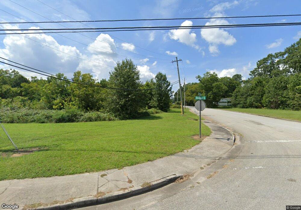
This home is located at 217 N Division St NW, Rome, GA 30165 and is currently estimated at $213,667. 217 N Division St NW is a home located in Floyd County with nearby schools including Rome High School and St. Mary School.
Ownership History
Date
Name
Owned For
Owner Type
Purchase Details
Closed on
Dec 28, 1999
Sold by
Burton Arthur A
Bought by
Burton Robert Clyde
Current Estimated Value
Purchase Details
Closed on
Sep 27, 1997
Sold by
Burton Robert Clyde and Patricia Burton
Bought by
Burton Arthur A
Purchase Details
Closed on
Dec 30, 1992
Sold by
Storey I Harold
Bought by
Burton Arthur A and Burton Patricia M
Purchase Details
Closed on
Dec 31, 1986
Sold by
Milhollin Charles Morris and Annie Laurie
Bought by
Storey I Harold
Purchase Details
Closed on
Feb 19, 1985
Sold by
Milhollin C A
Bought by
Milhollin Charles Morris and Annie La
Purchase Details
Closed on
Jan 1, 1901
Bought by
Milhollin C A
Create a Home Valuation Report for This Property
The Home Valuation Report is an in-depth analysis detailing your home's value as well as a comparison with similar homes in the area
Home Values in the Area
Average Home Value in this Area
Purchase History
| Date | Buyer | Sale Price | Title Company |
|---|---|---|---|
| Burton Robert Clyde | $2,800 | -- | |
| Burton Arthur A | -- | -- | |
| Burton Arthur A | $74,000 | -- | |
| Storey I Harold | -- | -- | |
| Milhollin Charles Morris | -- | -- | |
| Milhollin C A | -- | -- |
Source: Public Records
Tax History Compared to Growth
Tax History
| Year | Tax Paid | Tax Assessment Tax Assessment Total Assessment is a certain percentage of the fair market value that is determined by local assessors to be the total taxable value of land and additions on the property. | Land | Improvement |
|---|---|---|---|---|
| 2024 | $148 | $3,754 | $3,754 | $0 |
| 2023 | $133 | $3,413 | $3,413 | $0 |
| 2022 | $100 | $2,730 | $2,730 | $0 |
| 2021 | $101 | $2,730 | $2,730 | $0 |
| 2020 | $80 | $2,133 | $2,133 | $0 |
| 2019 | $79 | $2,133 | $2,133 | $0 |
| 2018 | $79 | $2,133 | $2,133 | $0 |
| 2017 | $79 | $2,133 | $2,133 | $0 |
| 2016 | $79 | $2,120 | $2,120 | $0 |
| 2015 | -- | $2,120 | $2,120 | $0 |
| 2014 | -- | $2,120 | $2,120 | $0 |
Source: Public Records
Map
Nearby Homes
- 124 Sheridan Dr NW
- 23 Sweetspire Dr NW
- 21 Sweetspire Dr NW
- 8 S Hughes St SW
- 808 Charlton St NW
- 17 Rosewood Rd SW
- 209 Sherwood Rd SW
- 3 Berckman Ln SW
- 19 Berckman Ln SW
- 14 Berckman Ln SW
- 9 Shorter Cir SW
- 0 Mount Alto Rd SW Unit 10523740
- 13 Ridgewood Rd SW
- 14 Vineland Dr NW
- 8 Leon St SW
- 4 Homestead Cir NW
- 100 Dellwood Dr NW
- 50 Melton Ave SW
- 0 Unbridled Rd Unit 22 23074684
- 204 Oakwood St NW
- 215 N Division St NW
- 603 Excelsior St NW
- 213 N Division St NW
- 0 Excelsior St Unit 8686675
- 0 Excelsior St
- 605 Excelsior St NW
- 211 N Division St NW
- 607 Excelsior St NW
- 606 Excelsior St NW
- 203 N Division St NW
- 608 Excelsior St NW
- 305 Moore St NW
- 307 Moore St NW
- 616 Excelsior St NW
- 309 N Division St NW
- 309 Moore St NW
- 620 Excelsior St NW
- 10 Central Ave NW
- 302 Walter St NW
- 313 Moore St NW