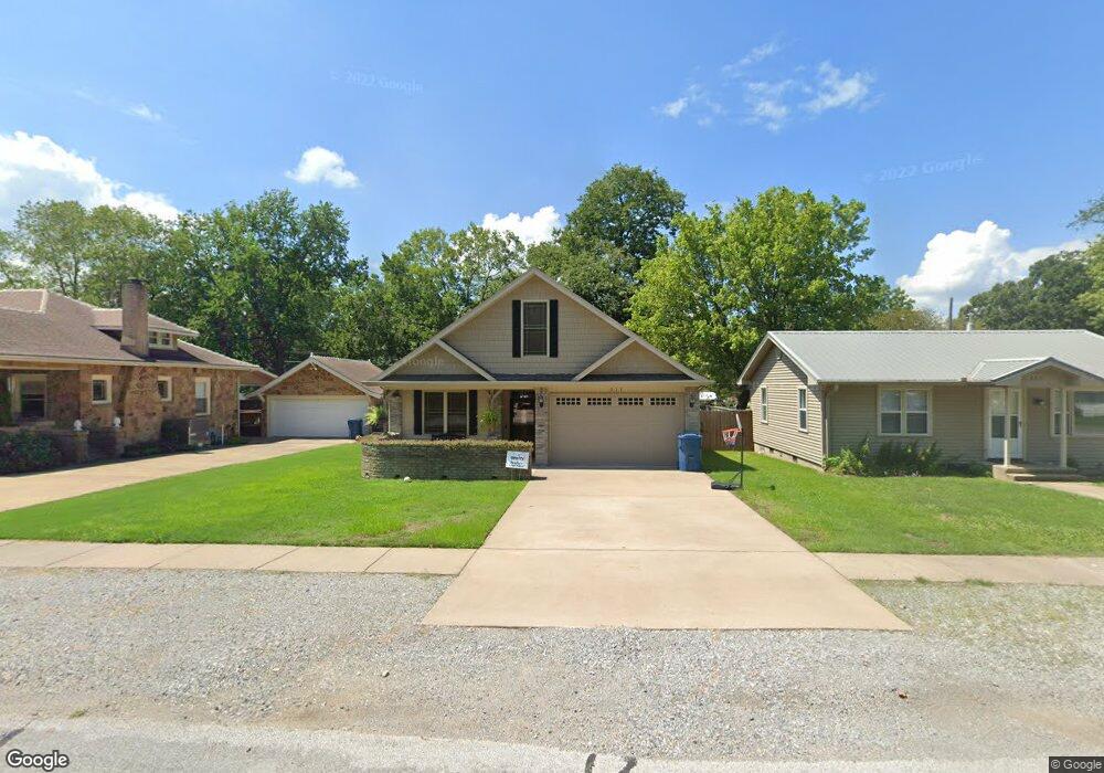
217 N Rust Ave Gentry, AR 72734
Estimated Value: $281,416 - $325,000
Studio
2
Baths
2,020
Sq Ft
$154/Sq Ft
Est. Value
About This Home
This home is located at 217 N Rust Ave, Gentry, AR 72734 and is currently estimated at $311,104, approximately $154 per square foot. 217 N Rust Ave is a home located in Benton County with nearby schools including Gentry Intermediate School, Gentry Primary School, and Gentry Middle School.
Ownership History
Date
Name
Owned For
Owner Type
Purchase Details
Closed on
Jul 24, 2012
Sold by
Smith Michael G
Bought by
Jech Otte and Jech Helen
Current Estimated Value
Purchase Details
Closed on
Sep 17, 2009
Sold by
Scs Investments Llc
Bought by
Smith Michael G
Purchase Details
Closed on
Oct 11, 2007
Sold by
Smith Michael G
Bought by
Scs Investments Llc
Purchase Details
Closed on
Jun 12, 2003
Bought by
Scs Invest
Purchase Details
Closed on
Jun 6, 1985
Bought by
Smith
Create a Home Valuation Report for This Property
The Home Valuation Report is an in-depth analysis detailing your home's value as well as a comparison with similar homes in the area
Home Values in the Area
Average Home Value in this Area
Purchase History
| Date | Buyer | Sale Price | Title Company |
|---|---|---|---|
| Jech Otte | $115,000 | Rt | |
| Smith Michael G | -- | None Available | |
| Scs Investments Llc | -- | None Available | |
| Scs Invest | -- | -- | |
| Smith | $15,000 | -- |
Source: Public Records
Tax History
| Year | Tax Paid | Tax Assessment Tax Assessment Total Assessment is a certain percentage of the fair market value that is determined by local assessors to be the total taxable value of land and additions on the property. | Land | Improvement |
|---|---|---|---|---|
| 2025 | $2,320 | $55,597 | $7,000 | $48,597 |
| 2024 | $2,104 | $55,597 | $7,000 | $48,597 |
| 2023 | $1,913 | $35,810 | $5,000 | $30,810 |
| 2022 | $1,862 | $35,810 | $5,000 | $30,810 |
| 2021 | $1,702 | $35,810 | $5,000 | $30,810 |
| 2020 | $1,554 | $26,610 | $1,800 | $24,810 |
| 2019 | $1,554 | $26,610 | $1,800 | $24,810 |
| 2018 | $1,554 | $26,610 | $1,800 | $24,810 |
| 2017 | $1,480 | $26,610 | $1,800 | $24,810 |
| 2016 | $1,480 | $26,610 | $1,800 | $24,810 |
| 2015 | $1,274 | $23,040 | $1,800 | $21,240 |
| 2014 | $1,274 | $23,040 | $1,800 | $21,240 |
Source: Public Records
Map
Nearby Homes
- 104 N Giles Ave
- 1736 Edens St
- 1729 Pittman St
- 1700 Edens St
- 1728 Edens St
- 1724 Edens St
- 1728 Pittman St
- 1704 Edens St
- 1720 Edens St
- 1708 Edens St
- 1740 Pittman St
- 1736 Pittman St
- 1712 Edens St
- 1733 Pittman St
- 1732 Pittman St
- 1741 Pittman St
- 1732 Edens St
- 1716 Edens St
- 1737 Pittman St
- 505 N Collins Ave Unit A & B
- 221 N Rust Ave
- 209 N Rust Ave
- 305 N Rust Ave
- 216 N Collins Ave
- 208 N Rust Ave
- 205 N Rust Ave
- 205 N Rust Ave
- 216 N Rust Ave
- 220 N Rust Ave
- 236 N Rust Ave
- 208 N Collins Ave
- 104 E Arkansas St W
- 307 N Rust Ave
- 304 N Collins Ave
- 204 N Rust Ave
- 300 N Rust Ave
- 200 N Collins Ave
- 309 N Rust Ave
- Lot#5 Rust Ave
- 125 N Rust Ave
Your Personal Tour Guide
Ask me questions while you tour the home.