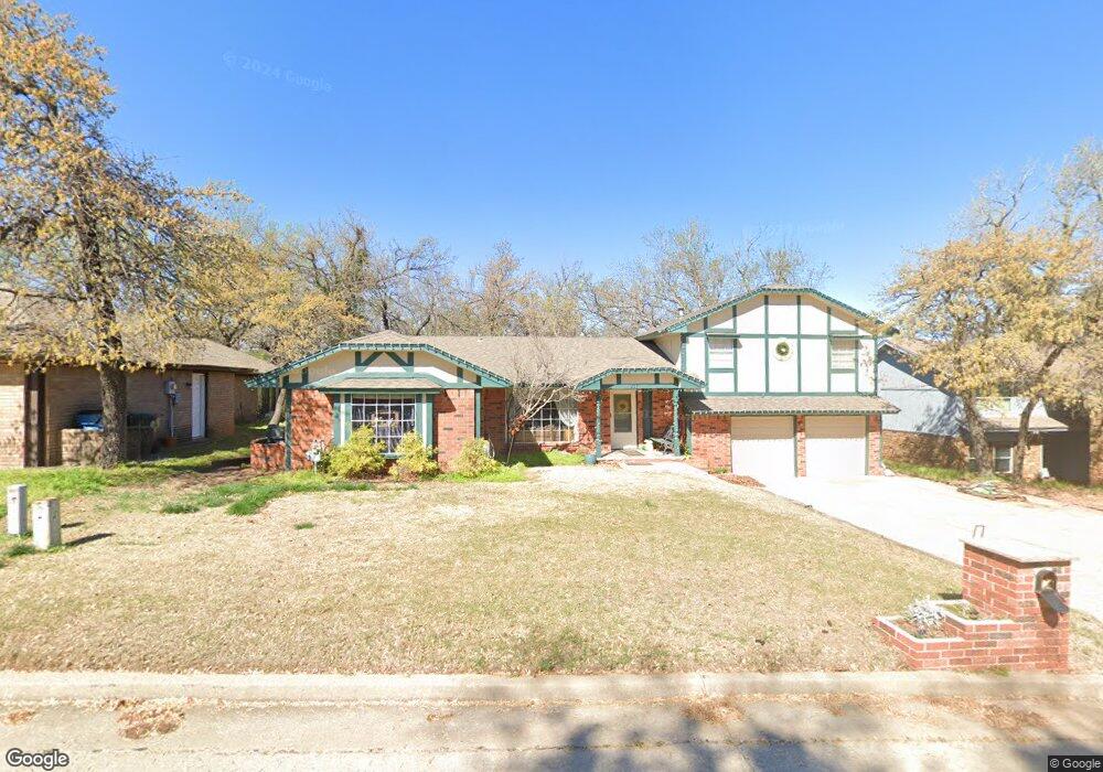
217 N Tunbridge Rd Oklahoma City, OK 73130
Estimated Value: $237,703 - $269,000
4
Beds
3
Baths
1,788
Sq Ft
$142/Sq Ft
Est. Value
About This Home
This home is located at 217 N Tunbridge Rd, Oklahoma City, OK 73130 and is currently estimated at $253,426, approximately $141 per square foot. 217 N Tunbridge Rd is a home located in Oklahoma County with nearby schools including L.W. Westfall Elementary School, Nicoma Park Middle School, and Choctaw High School.
Ownership History
Date
Name
Owned For
Owner Type
Purchase Details
Closed on
Sep 23, 1999
Sold by
Goodman Edwin Wayne and Goodman Leona M
Bought by
Claridge Timothy and Claridge Yvonna
Current Estimated Value
Home Financials for this Owner
Home Financials are based on the most recent Mortgage that was taken out on this home.
Original Mortgage
$76,850
Outstanding Balance
$23,413
Interest Rate
8.18%
Mortgage Type
FHA
Estimated Equity
$230,013
Create a Home Valuation Report for This Property
The Home Valuation Report is an in-depth analysis detailing your home's value as well as a comparison with similar homes in the area
Home Values in the Area
Average Home Value in this Area
Purchase History
| Date | Buyer | Sale Price | Title Company |
|---|---|---|---|
| Claridge Timothy | $100,000 | -- |
Source: Public Records
Mortgage History
| Date | Status | Borrower | Loan Amount |
|---|---|---|---|
| Open | Claridge Timothy | $76,850 |
Source: Public Records
Tax History Compared to Growth
Tax History
| Year | Tax Paid | Tax Assessment Tax Assessment Total Assessment is a certain percentage of the fair market value that is determined by local assessors to be the total taxable value of land and additions on the property. | Land | Improvement |
|---|---|---|---|---|
| 2024 | $2,242 | $19,003 | $3,340 | $15,663 |
| 2023 | $2,242 | $18,450 | $3,296 | $15,154 |
| 2022 | $2,152 | $17,912 | $3,687 | $14,225 |
| 2021 | $2,077 | $17,391 | $3,053 | $14,338 |
| 2020 | $2,028 | $16,885 | $3,176 | $13,709 |
| 2019 | $1,945 | $16,405 | $3,056 | $13,349 |
| 2018 | $1,786 | $15,927 | $0 | $0 |
| 2017 | $1,729 | $15,462 | $2,732 | $12,730 |
| 2016 | $1,690 | $15,012 | $2,756 | $12,256 |
| 2015 | $1,696 | $14,576 | $2,838 | $11,738 |
| 2014 | $1,669 | $14,294 | $2,838 | $11,456 |
Source: Public Records
Map
Nearby Homes
- 221 Windover Cove
- 12405 Jersey Rd
- 378 Cambridge Rd
- 12428 Elizabeth Dr
- 12001 Elizabeth Dr
- 705 Helm Dr
- 901 S Anderson Rd
- 12940 E Reno Ave
- 471 N Hiwassee Rd
- 11375 E Reno Ave
- 917 Westfall Dr
- 817 Westfall Dr
- 813 Westfall Dr
- 809 Westfall Dr
- 905 Westfall Dr
- 805 Westfall Dr
- 909 Westfall Dr
- 901 Westfall Dr
- 913 Westfall Dr
- 13021 NE 8th St
- 221 N Tunbridge Rd
- 213 N Tunbridge Rd
- 209 N Tunbridge Rd
- 214 N Tunbridge Rd
- 225 N Tunbridge Rd
- 212 N Tunbridge Rd
- 208 Windover Cove
- 204 Windover Cove
- 212 Windover Cove
- 208 N Tunbridge Rd
- 205 N Tunbridge Rd
- 229 N Tunbridge Rd
- 216 Windover Cove
- 204 Chaucer Crescent St
- 204 N Tunbridge Rd
- 208 Chaucer Crescent St
- 201 N Tunbridge Rd
- 228 N Tunbridge Rd
- 200 Chaucer Crescent St
- 233 N Tunbridge Rd