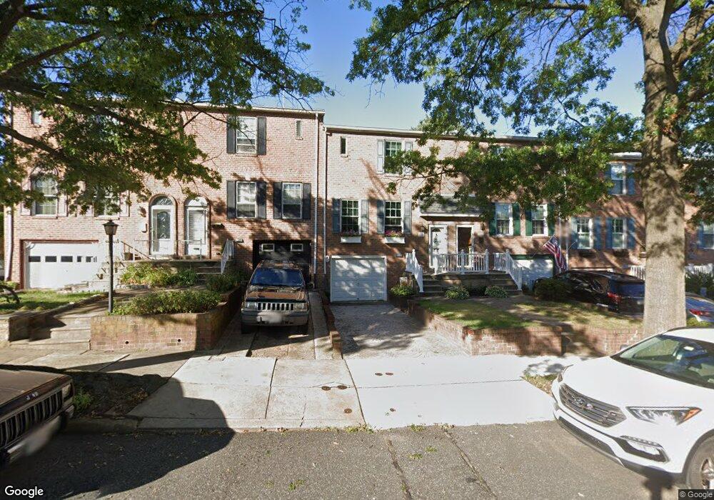
217 Nauldo Rd Philadelphia, PA 19154
Northeast Philadelphia NeighborhoodEstimated Value: $326,592 - $377,000
3
Beds
1
Bath
1,360
Sq Ft
$263/Sq Ft
Est. Value
About This Home
This home is located at 217 Nauldo Rd, Philadelphia, PA 19154 and is currently estimated at $357,898, approximately $263 per square foot. 217 Nauldo Rd is a home located in Philadelphia County with nearby schools including A. L. Fitzpatrick School, George Washington High School, and Our Lady of Calvary School.
Ownership History
Date
Name
Owned For
Owner Type
Purchase Details
Closed on
Sep 16, 2020
Sold by
Bretz Shannon C and Djm 2020 Trust
Bought by
Mcdade Daniel J and Mcdade Mary Jo
Current Estimated Value
Home Financials for this Owner
Home Financials are based on the most recent Mortgage that was taken out on this home.
Original Mortgage
$133,500
Outstanding Balance
$94,582
Interest Rate
2.9%
Mortgage Type
New Conventional
Estimated Equity
$263,316
Purchase Details
Closed on
Mar 10, 2020
Sold by
Mcdade Daniel J and Mcdade Mary Jo
Bought by
Bretz Shannon C and The Djm 2020 Trust
Purchase Details
Closed on
Jun 28, 1995
Sold by
Hammer Scott C
Bought by
Mcdade Daniel J and Mcdade Mary Jo
Create a Home Valuation Report for This Property
The Home Valuation Report is an in-depth analysis detailing your home's value as well as a comparison with similar homes in the area
Home Values in the Area
Average Home Value in this Area
Purchase History
| Date | Buyer | Sale Price | Title Company |
|---|---|---|---|
| Mcdade Daniel J | -- | Affinity Land Services Inc | |
| Bretz Shannon C | -- | None Available | |
| Mcdade Daniel J | $95,000 | -- |
Source: Public Records
Mortgage History
| Date | Status | Borrower | Loan Amount |
|---|---|---|---|
| Open | Mcdade Daniel J | $133,500 |
Source: Public Records
Tax History Compared to Growth
Tax History
| Year | Tax Paid | Tax Assessment Tax Assessment Total Assessment is a certain percentage of the fair market value that is determined by local assessors to be the total taxable value of land and additions on the property. | Land | Improvement |
|---|---|---|---|---|
| 2026 | $3,651 | $315,400 | $63,080 | $252,320 |
| 2025 | $3,651 | $315,400 | $63,080 | $252,320 |
| 2024 | $3,651 | $315,400 | $63,080 | $252,320 |
| 2023 | $3,651 | $260,800 | $52,160 | $208,640 |
| 2022 | $1,881 | $215,800 | $52,160 | $163,640 |
| 2021 | $3,141 | $0 | $0 | $0 |
| 2020 | $3,141 | $0 | $0 | $0 |
| 2019 | $2,958 | $0 | $0 | $0 |
| 2018 | $2,685 | $0 | $0 | $0 |
| 2017 | $2,685 | $0 | $0 | $0 |
| 2016 | $2,265 | $0 | $0 | $0 |
| 2015 | $2,168 | $0 | $0 | $0 |
| 2014 | -- | $191,800 | $45,007 | $146,793 |
| 2012 | -- | $22,112 | $2,754 | $19,358 |
Source: Public Records
Map
Nearby Homes
- 1126 Evelyn Ave
- 1236 Whittier Ave
- 238 Dimarco Dr
- 4161 Orchard Ln
- 4374 Deerpath Ln
- 11731 Dimarco Dr
- 11913 Millbrook Rd
- 10932 Templeton Dr
- 1103 Colonial Ave
- 4210 Greenmount Rd
- 3803 Dorchester Rd
- 10908 Templeton Dr
- 12028 Millbrook Rd
- 4207 Fairdale Rd
- 3627 N Hereford Ln
- 1202 Clinton Ave
- 3623 N Hereford Ln
- 3583 Nottingham Ln
- 11125 Kirby Dr
- 3581 Nottingham Ln
- 215 Nauldo Rd
- 221 Nauldo Rd
- 213 Nauldo Rd
- 211 Nauldo Rd
- 223 Nauldo Rd
- 225 Nauldo Rd
- 214 Wickley Rd
- 216 Wickley Rd
- 212 Wickley Rd
- 218 Wickley Rd
- 220 Wickley Rd
- 210 Wickley Rd
- 145 Greendale Rd
- 147 Greendale Rd
- 143 Greendale Rd
- 149 Greendale Rd
- 222 Wickley Rd
- 151 Greendale Rd
- 153 Greendale Rd
- 240 Wickley Rd