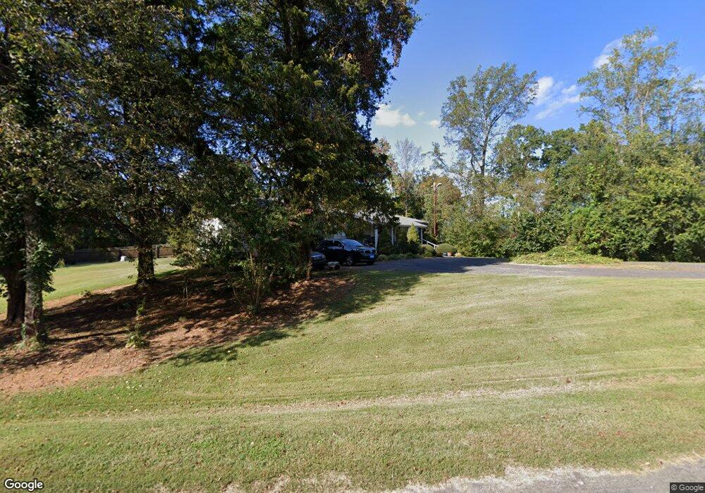
217 Palm Rd Reidsville, NC 27320
Estimated Value: $183,066 - $256,000
--
Bed
--
Bath
1,177
Sq Ft
$180/Sq Ft
Est. Value
About This Home
This home is located at 217 Palm Rd, Reidsville, NC 27320 and is currently estimated at $211,767, approximately $179 per square foot. 217 Palm Rd is a home located in Rockingham County with nearby schools including Lincoln Elementary School, Rockingham County Middle School, and Rockingham County High School.
Ownership History
Date
Name
Owned For
Owner Type
Purchase Details
Closed on
Mar 5, 2014
Sold by
Hillman Jenell
Bought by
Jackson Anthony and Jackson Tarsha
Current Estimated Value
Home Financials for this Owner
Home Financials are based on the most recent Mortgage that was taken out on this home.
Original Mortgage
$52,464
Outstanding Balance
$12,486
Interest Rate
4.35%
Mortgage Type
Seller Take Back
Estimated Equity
$199,281
Create a Home Valuation Report for This Property
The Home Valuation Report is an in-depth analysis detailing your home's value as well as a comparison with similar homes in the area
Home Values in the Area
Average Home Value in this Area
Purchase History
| Date | Buyer | Sale Price | Title Company |
|---|---|---|---|
| Jackson Anthony | $75,000 | None Available |
Source: Public Records
Mortgage History
| Date | Status | Borrower | Loan Amount |
|---|---|---|---|
| Open | Jackson Anthony | $52,464 |
Source: Public Records
Tax History Compared to Growth
Tax History
| Year | Tax Paid | Tax Assessment Tax Assessment Total Assessment is a certain percentage of the fair market value that is determined by local assessors to be the total taxable value of land and additions on the property. | Land | Improvement |
|---|---|---|---|---|
| 2025 | $1,193 | $177,486 | $19,379 | $158,107 |
| 2024 | $1,193 | $177,486 | $19,379 | $158,107 |
| 2023 | $1,193 | $94,957 | $13,440 | $81,517 |
| 2022 | $783 | $94,957 | $13,440 | $81,517 |
| 2021 | $783 | $94,957 | $13,440 | $81,517 |
| 2020 | $783 | $94,957 | $13,440 | $81,517 |
| 2019 | $783 | $94,957 | $13,440 | $81,517 |
| 2018 | $751 | $90,973 | $22,503 | $68,470 |
| 2017 | $751 | $90,973 | $22,503 | $68,470 |
| 2015 | $731 | $90,973 | $22,503 | $68,470 |
| 2014 | $724 | $90,973 | $22,503 | $68,470 |
Source: Public Records
Map
Nearby Homes
- 252 Palm Rd
- 3195 Quick Rd
- 0 Spice Rd
- 9669 Us Highway 29 Bus
- 00 Rolling Meadows Dr
- 525 Grooms Rd
- 10541 US Highway 158 W
- Lot 1a Joe Cobb Rd
- Lot 2 Joe Cobb Rd
- Lot 1 A Joe Cobb Rd
- Lot 1B Joe Cobb Rd
- 2053 U S Highway 158 W
- 2094 Ashland Rd
- 2072 U S 158
- 112 Whippoorwill Ln
- 00 Nunnally Rd
- 2846 Grooms Rd
- 461 Briar Ridge Lane Extension
- 126 Mullins Rd
- 211 Boaz Rd
- 203 Palm Rd
- 224 Palm Rd
- 240 Palm Rd
- 252 Palm Rd Unit 29 Acres
- 325 Palm Rd
- 301 Longbranch Rd
- 253 Longbranch Rd
- 116 Palm Rd
- 303 Longbranch Rd
- 1047 Lick Fork Creek Rd
- 332 Longbranch Rd
- 1084 Lick Fork Creek Rd
- 386 Longbranch Rd
- 1014 Lick Fork Creek Rd
- 1014 Lick Fork Creek Rd
- 952 Lick Fork Creek Rd
- 1229 Lick Fork Creek Rd
- 1269 Lick Fork Creek Rd
- 562 Longbranch Rd
- 567 Longbranch Rd