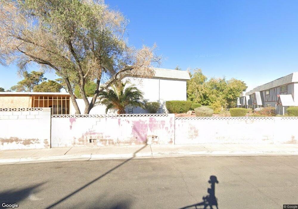
217 Pecos Way Unit 6 Las Vegas, NV 89121
Estimated Value: $237,182 - $262,000
2
Beds
3
Baths
1,320
Sq Ft
$189/Sq Ft
Est. Value
About This Home
This home is located at 217 Pecos Way Unit 6, Las Vegas, NV 89121 and is currently estimated at $249,796, approximately $189 per square foot. 217 Pecos Way Unit 6 is a home located in Clark County with nearby schools including Will Beckley Elementary School, Jerome Mack Middle School, and Chaparral High School.
Ownership History
Date
Name
Owned For
Owner Type
Purchase Details
Closed on
Jul 9, 2004
Sold by
Ruggles Janet K
Bought by
Driver Theodore Alan
Current Estimated Value
Home Financials for this Owner
Home Financials are based on the most recent Mortgage that was taken out on this home.
Original Mortgage
$85,500
Outstanding Balance
$50,943
Interest Rate
9.3%
Mortgage Type
Unknown
Estimated Equity
$198,853
Purchase Details
Closed on
Mar 23, 1995
Sold by
Ehlers Stephen M
Bought by
Ferraro Matthew and Ruggles Janet K
Home Financials for this Owner
Home Financials are based on the most recent Mortgage that was taken out on this home.
Original Mortgage
$60,500
Interest Rate
8.6%
Create a Home Valuation Report for This Property
The Home Valuation Report is an in-depth analysis detailing your home's value as well as a comparison with similar homes in the area
Home Values in the Area
Average Home Value in this Area
Purchase History
| Date | Buyer | Sale Price | Title Company |
|---|---|---|---|
| Driver Theodore Alan | $95,000 | Fidelity National Title | |
| Ferraro Matthew | $87,500 | Nevada Title Company |
Source: Public Records
Mortgage History
| Date | Status | Borrower | Loan Amount |
|---|---|---|---|
| Open | Driver Theodore Alan | $85,500 | |
| Previous Owner | Ferraro Matthew | $60,500 |
Source: Public Records
Tax History Compared to Growth
Tax History
| Year | Tax Paid | Tax Assessment Tax Assessment Total Assessment is a certain percentage of the fair market value that is determined by local assessors to be the total taxable value of land and additions on the property. | Land | Improvement |
|---|---|---|---|---|
| 2025 | $582 | $38,447 | $18,200 | $20,247 |
| 2024 | $539 | $38,447 | $18,200 | $20,247 |
| 2023 | $539 | $38,244 | $20,650 | $17,594 |
| 2022 | $500 | $32,382 | $16,100 | $16,282 |
| 2021 | $463 | $28,181 | $15,050 | $13,131 |
| 2020 | $427 | $28,522 | $14,350 | $14,172 |
| 2019 | $400 | $26,749 | $12,250 | $14,499 |
| 2018 | $382 | $23,805 | $9,450 | $14,355 |
| 2017 | $609 | $20,293 | $5,950 | $14,343 |
| 2016 | $359 | $21,158 | $5,950 | $15,208 |
| 2015 | $357 | $16,936 | $4,550 | $12,386 |
| 2014 | $347 | $13,043 | $3,500 | $9,543 |
Source: Public Records
Map
Nearby Homes
- 241 Pecos Way Unit 6
- 233 Pecos Way
- 275 Pecos Way
- 3078 S Pecos Rd
- 3435 Don Miguel Dr
- 3169 Nottingham Dr
- 3410 Pecos Way
- 3428 Don Miguel Dr
- 3378 Del Marino St
- 431 Las Casitas Way
- 3453 Del Marino Dr
- 3085 Greenbriar Dr
- 3258 Glenhurst Dr
- 466 Las Casitas Way
- 3642 Boulder Hwy Unit 342
- 3642 Boulder Hwy Unit 229
- 3642 Boulder Hwy Unit 154
- 3642 Boulder Hwy Unit 87
- 3642 Boulder Hwy Unit 312
- 3642 Boulder Hwy Unit 18-A
- 215 Pecos Way
- 213 Pecos Way Unit 6
- 211 Pecos Way
- 209 Pecos Way
- 207 Pecos Way
- 251 Pecos Way Unit 6
- 249 Pecos Way
- 205 Pecos Way
- 247 Pecos Way
- 3136 Glenhurst Dr
- 203 Pecos Way
- 245 Pecos Way
- 243 Pecos Way
- 3148 Glenhurst Dr
- 239 Pecos Way Unit 6
- 3158 Glenhurst Dr
- 269 Pecos Way
- 237 Pecos Way
- 267 Pecos Way
- 265 Pecos Way