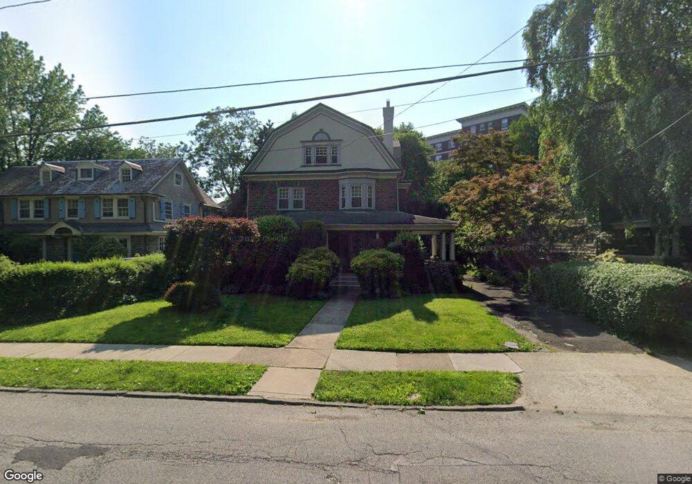
217 Pelham Rd Philadelphia, PA 19119
West Mount Airy NeighborhoodEstimated Value: $849,302 - $996,000
--
Bed
--
Bath
4,385
Sq Ft
$206/Sq Ft
Est. Value
About This Home
This home is located at 217 Pelham Rd, Philadelphia, PA 19119 and is currently estimated at $902,326, approximately $205 per square foot. 217 Pelham Rd is a home located in Philadelphia County with nearby schools including Charles W. Henry School, Roxborough High School, and Jesus Is the Way Christian Academy.
Ownership History
Date
Name
Owned For
Owner Type
Purchase Details
Closed on
Oct 28, 1999
Sold by
Cummings Orlando
Bought by
Patterson Marlene G
Current Estimated Value
Home Financials for this Owner
Home Financials are based on the most recent Mortgage that was taken out on this home.
Original Mortgage
$155,000
Outstanding Balance
$47,863
Interest Rate
7.9%
Estimated Equity
$854,463
Create a Home Valuation Report for This Property
The Home Valuation Report is an in-depth analysis detailing your home's value as well as a comparison with similar homes in the area
Home Values in the Area
Average Home Value in this Area
Purchase History
| Date | Buyer | Sale Price | Title Company |
|---|---|---|---|
| Patterson Marlene G | $215,000 | -- |
Source: Public Records
Mortgage History
| Date | Status | Borrower | Loan Amount |
|---|---|---|---|
| Open | Patterson Marlene G | $155,000 |
Source: Public Records
Tax History Compared to Growth
Tax History
| Year | Tax Paid | Tax Assessment Tax Assessment Total Assessment is a certain percentage of the fair market value that is determined by local assessors to be the total taxable value of land and additions on the property. | Land | Improvement |
|---|---|---|---|---|
| 2025 | $8,729 | $743,800 | $148,760 | $595,040 |
| 2024 | $8,729 | $743,800 | $148,760 | $595,040 |
| 2023 | $8,729 | $623,600 | $124,720 | $498,880 |
| 2022 | $5,462 | $578,600 | $124,720 | $453,880 |
| 2021 | $6,092 | $0 | $0 | $0 |
| 2020 | $6,092 | $0 | $0 | $0 |
| 2019 | $6,358 | $0 | $0 | $0 |
| 2018 | $0 | $0 | $0 | $0 |
| 2017 | $5,826 | $0 | $0 | $0 |
| 2016 | $5,406 | $0 | $0 | $0 |
| 2015 | $5,061 | $0 | $0 | $0 |
| 2014 | -- | $407,700 | $168,408 | $239,292 |
| 2012 | -- | $53,312 | $10,528 | $42,784 |
Source: Public Records
Map
Nearby Homes
- 118 W Phil Ellena St
- 319 Pelham Rd
- 150 W Hortter St
- 6617 Quincy St
- 6539 Berdan St
- 161 Carpenter Ln
- 111 W Sharpnack St
- 165 Carpenter Ln
- 115 W Sharpnack St
- 24 Westview St
- 100 W Sharpnack St
- 80 W Sharpnack St
- 49 W Sharpnack St
- 42 Good St
- 6610-12 Germantown Ave
- 6536 Cherokee St
- 20 Pelham Rd
- 37 W Upsal St
- 14 Pelham Rd
- 6516 Germantown Ave
- 221 Pelham Rd
- 215 Pelham Rd
- 209 Pelham Rd
- 6719 Emlen St
- 6723 Emlen St
- 220 Pelham Rd
- 235 Pelham Rd
- 216 Pelham Rd
- 214 Pelham Rd
- 207 Pelham Rd
- 141 W Phil Ellena St
- 210 Pelham Rd
- 6800 Quincy St
- 200 Pelham Rd
- 137 W Phil Ellena St
- 133 W Phil Ellena St
- 6712 Emlen St
- 6802 Quincy St
- 303 Pelham Rd
- 6710 Emlen St