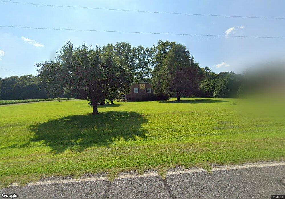
217 Pope Farm Rd Stony Point, NC 28678
Estimated Value: $267,758 - $307,000
3
Beds
2
Baths
2,410
Sq Ft
$119/Sq Ft
Est. Value
About This Home
This home is located at 217 Pope Farm Rd, Stony Point, NC 28678 and is currently estimated at $285,940, approximately $118 per square foot. 217 Pope Farm Rd is a home located in Iredell County with nearby schools including Sharon Elementary School, West Iredell Middle School, and West Iredell High School.
Ownership History
Date
Name
Owned For
Owner Type
Purchase Details
Closed on
Jun 4, 2002
Sold by
Reese Clyde Robert and Reese Edith Harper
Bought by
Whitley Deborah Onley
Current Estimated Value
Home Financials for this Owner
Home Financials are based on the most recent Mortgage that was taken out on this home.
Original Mortgage
$83,500
Outstanding Balance
$35,405
Interest Rate
6.85%
Estimated Equity
$250,535
Purchase Details
Closed on
Jun 1, 1972
Create a Home Valuation Report for This Property
The Home Valuation Report is an in-depth analysis detailing your home's value as well as a comparison with similar homes in the area
Home Values in the Area
Average Home Value in this Area
Purchase History
| Date | Buyer | Sale Price | Title Company |
|---|---|---|---|
| Whitley Deborah Onley | $98,500 | -- | |
| -- | $1,000 | -- |
Source: Public Records
Mortgage History
| Date | Status | Borrower | Loan Amount |
|---|---|---|---|
| Open | Whitley Deborah Onley | $83,500 |
Source: Public Records
Tax History Compared to Growth
Tax History
| Year | Tax Paid | Tax Assessment Tax Assessment Total Assessment is a certain percentage of the fair market value that is determined by local assessors to be the total taxable value of land and additions on the property. | Land | Improvement |
|---|---|---|---|---|
| 2024 | $1,058 | $169,200 | $36,750 | $132,450 |
| 2023 | $1,058 | $169,200 | $36,750 | $132,450 |
| 2022 | $779 | $114,540 | $22,050 | $92,490 |
| 2021 | $775 | $114,540 | $22,050 | $92,490 |
| 2020 | $775 | $114,540 | $22,050 | $92,490 |
| 2019 | $763 | $114,540 | $22,050 | $92,490 |
| 2018 | $692 | $107,160 | $22,050 | $85,110 |
| 2017 | $692 | $107,160 | $22,050 | $85,110 |
| 2016 | $692 | $107,160 | $22,050 | $85,110 |
| 2015 | $692 | $107,160 | $22,050 | $85,110 |
| 2014 | $676 | $112,350 | $22,050 | $90,300 |
Source: Public Records
Map
Nearby Homes
- 1834 Island Ford Rd
- 462 Mock Mill Rd
- 230 Mock Mill Rd
- 214 Mock Mill Rd
- 126 Top Flite Dr
- 163 Whitney Ln
- 127 Walnut Tree Rd
- 152 Colonial Heights Ln
- 129 Broken Arrow Dr Unit 2
- 138 Broken Arrow Dr
- 275 Broken Arrow Dr Unit 26
- 148 Broken Arrow Dr
- 268 Broken Arrow Dr
- 0 Lippard Farm Rd
- 239 Old Lion Rd
- 112 Robinette Ln
- 260 Broken Arrow Dr
- 3662 Hickory Hwy
- 160 Sharpe Farm Dr
- 153 Larue Cir
- 225 Pope Farm Rd
- 213 Pope Farm Rd
- 232 Pope Farm Rd
- 231 Pope Farm Rd Unit 235
- 193 Pope Farm Rd
- 256 Pope Farm Rd
- 271 Pope Farm Rd
- 270 Pope Farm Rd Unit 276
- 276 Pope Farm Rd
- 1802 Island Ford Rd
- 1728 Island Ford Rd
- 1719 Island Ford Rd
- 1712 Island Ford Rd
- 1735 Island Ford Rd
- Lot 6 Island Ford Rd Unit 6
- Lot 5 Island Ford Rd Unit 5
- 1848 Island Ford Rd Unit 3/4
- 1771 Island Ford Rd
- 1817 Island Ford Rd
- 282 Cotton Gin Rd