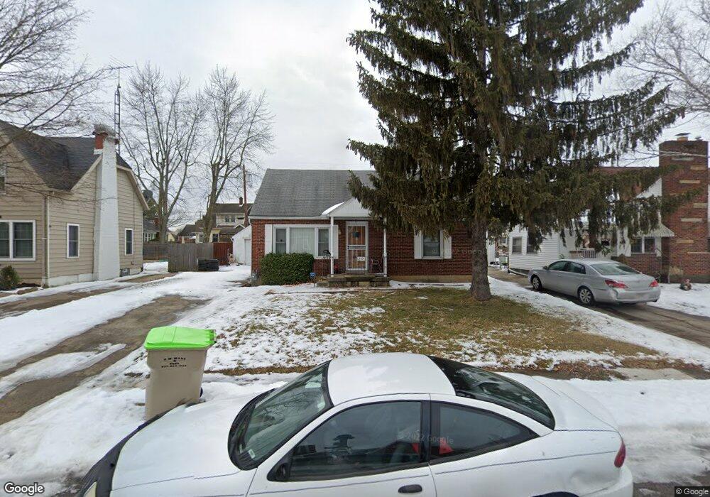
217 Roseland Ave E Springfield, OH 45503
Estimated Value: $136,962 - $167,000
3
Beds
1
Bath
1,075
Sq Ft
$141/Sq Ft
Est. Value
About This Home
This home is located at 217 Roseland Ave E, Springfield, OH 45503 and is currently estimated at $151,741, approximately $141 per square foot. 217 Roseland Ave E is a home located in Clark County with nearby schools including Warder Park-Wayne Elementary School, Schaefer Middle School, and Springfield High School.
Ownership History
Date
Name
Owned For
Owner Type
Purchase Details
Closed on
Aug 29, 2016
Sold by
Crisler Sharon E
Bought by
Threats Latoya Nicole
Current Estimated Value
Home Financials for this Owner
Home Financials are based on the most recent Mortgage that was taken out on this home.
Original Mortgage
$65,786
Outstanding Balance
$52,153
Interest Rate
3.45%
Mortgage Type
FHA
Estimated Equity
$99,588
Purchase Details
Closed on
Apr 13, 1987
Sold by
Wilt Glen C and Wilt Kathy A
Bought by
Crisler Edith N and Crisler Sharon E
Create a Home Valuation Report for This Property
The Home Valuation Report is an in-depth analysis detailing your home's value as well as a comparison with similar homes in the area
Home Values in the Area
Average Home Value in this Area
Purchase History
| Date | Buyer | Sale Price | Title Company |
|---|---|---|---|
| Threats Latoya Nicole | $67,000 | None Available | |
| Crisler Edith N | $45,000 | -- |
Source: Public Records
Mortgage History
| Date | Status | Borrower | Loan Amount |
|---|---|---|---|
| Open | Threats Latoya Nicole | $65,786 |
Source: Public Records
Tax History
| Year | Tax Paid | Tax Assessment Tax Assessment Total Assessment is a certain percentage of the fair market value that is determined by local assessors to be the total taxable value of land and additions on the property. | Land | Improvement |
|---|---|---|---|---|
| 2025 | $1,370 | $45,540 | $7,020 | $38,520 |
| 2024 | $1,334 | $27,680 | $6,270 | $21,410 |
| 2023 | $1,334 | $27,680 | $6,270 | $21,410 |
| 2022 | $1,366 | $27,680 | $6,270 | $21,410 |
| 2021 | $1,274 | $23,830 | $5,020 | $18,810 |
| 2020 | $1,277 | $23,830 | $5,020 | $18,810 |
| 2019 | $1,253 | $23,330 | $5,020 | $18,310 |
| 2018 | $1,393 | $24,910 | $5,020 | $19,890 |
| 2017 | $1,392 | $25,383 | $5,016 | $20,367 |
| 2016 | $904 | $25,383 | $5,016 | $20,367 |
| 2015 | $487 | $25,383 | $5,016 | $20,367 |
| 2014 | $969 | $25,383 | $5,016 | $20,367 |
| 2013 | $725 | $25,383 | $5,016 | $20,367 |
Source: Public Records
Map
Nearby Homes
- 129 N Burnett Rd
- 2730 E Main St
- 2702 Maplewood Ave
- 375 N Fostoria Ave
- 115 S Burnett Rd
- 2425 Kenilworth Ave
- 138 Lawnview Ave
- 2201 Woodside Ave
- 360 Buxton Ave
- 3012 E High St
- 907 Bellevue Ave
- 26 N Belmont Ave
- 374 Raffensperger Ave
- 250 S Douglas Ave Unit 254
- 2020 Woodside Ave
- 2804 Lowman St
- 743 N Belmont Ave
- 451 Lawnview Ave
- 1721 Prospect St
- 2845 Columbus Ave Unit 5
- 207 Roseland Ave E
- 225 Roseland Ave E
- 212 Roseland Ave W
- 201 Roseland Ave E
- 229 Roseland Ave E
- 210 Roseland Ave W
- 222 Roseland Ave W
- 210 Roseland Ave E
- 206 Roseland Ave W
- 228 Roseland Ave W
- 220 Roseland Ave E
- 208 Roseland Ave E
- 129 Roseland Ave E
- 301 Roseland Ave E
- 202 E Roseland St
- 226 Roseland Ave E
- 202 Roseland Ave E
- 128 Roseland Ave W
- 304 Roseland Ave W
- 123 Roseland Ave E
Your Personal Tour Guide
Ask me questions while you tour the home.