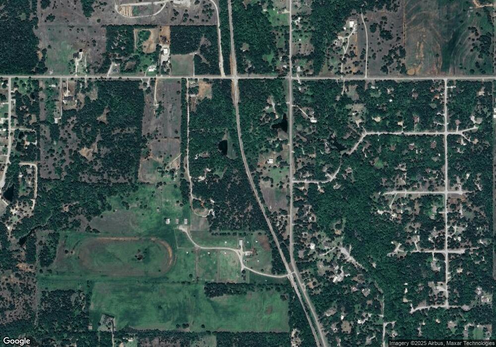
217 Rr 1 Duncan, OK 73533
Estimated Value: $55,000
2
Beds
1
Bath
1,134
Sq Ft
$49/Sq Ft
Est. Value
About This Home
This home is located at 217 Rr 1, Duncan, OK 73533 and is currently estimated at $55,000, approximately $48 per square foot. 217 Rr 1 is a home located in Stephens County with nearby schools including Empire High School.
Ownership History
Date
Name
Owned For
Owner Type
Purchase Details
Closed on
Nov 5, 2013
Sold by
London Esther Gail and Bjork Shawn
Bought by
Yarborough Tyler
Current Estimated Value
Home Financials for this Owner
Home Financials are based on the most recent Mortgage that was taken out on this home.
Original Mortgage
$82,653
Outstanding Balance
$61,792
Interest Rate
4.37%
Mortgage Type
New Conventional
Estimated Equity
-$6,792
Purchase Details
Closed on
Dec 8, 2008
Sold by
London Lonnie Chad and London Esther Gail
Bought by
London Esther Gail
Purchase Details
Closed on
Sep 22, 2004
Sold by
Stillwell Jackie
Purchase Details
Closed on
Aug 8, 2002
Sold by
Stillwell Jacqulin
Purchase Details
Closed on
Jun 11, 2002
Sold by
Stillwell Jacqulin
Purchase Details
Closed on
Sep 4, 2001
Sold by
Keck Carl and Keck Betty
Purchase Details
Closed on
Mar 27, 2001
Sold by
Shorter Leola M and Shorter Marion
Create a Home Valuation Report for This Property
The Home Valuation Report is an in-depth analysis detailing your home's value as well as a comparison with similar homes in the area
Home Values in the Area
Average Home Value in this Area
Purchase History
| Date | Buyer | Sale Price | Title Company |
|---|---|---|---|
| Yarborough Tyler | $80,000 | None Available | |
| London Esther Gail | -- | None Available | |
| -- | -- | -- | |
| -- | -- | -- | |
| -- | -- | -- | |
| -- | $34,000 | -- | |
| -- | -- | -- |
Source: Public Records
Mortgage History
| Date | Status | Borrower | Loan Amount |
|---|---|---|---|
| Open | Yarborough Tyler | $82,653 |
Source: Public Records
Tax History Compared to Growth
Tax History
| Year | Tax Paid | Tax Assessment Tax Assessment Total Assessment is a certain percentage of the fair market value that is determined by local assessors to be the total taxable value of land and additions on the property. | Land | Improvement |
|---|---|---|---|---|
| 2025 | $64 | $696 | $677 | $19 |
| 2024 | $65 | $701 | $677 | $24 |
| 2023 | $65 | $698 | $677 | $21 |
| 2022 | $122 | $1,281 | $677 | $604 |
| 2021 | $741 | $7,775 | $679 | $7,096 |
| 2020 | $709 | $7,404 | $679 | $6,725 |
| 2019 | $706 | $7,153 | $679 | $6,474 |
| 2018 | $671 | $7,002 | $679 | $6,323 |
| 2017 | $655 | $6,488 | $679 | $5,809 |
| 2016 | $894 | $8,976 | $679 | $8,297 |
| 2015 | $579 | $8,976 | $679 | $8,297 |
| 2014 | $579 | $8,976 | $679 | $8,297 |
Source: Public Records
Map
Nearby Homes
- B1L4A Trail Side Dr
- B2L5 Trail Side Dr
- 172789 Trail Side Dr
- B4 L11 Prospectors Ridge Dr
- B3L9 Prospectors Ridge Dr
- 172931 Prospectors Ridge Dr
- 278045 Hidden Creek Dr
- 174085 N 2770 Rd
- 278590 E 1730 Rd
- 1105 N 60th St
- 1317 S 58th St
- 2086 N 44th St
- 1715 S 42nd St
- 4705 W Seminole Rd
- 3655 Lovegrass Ln
- 701 Drexal Place
- 1385 Smith Rd
- 1244 Carriage Dr
- 210 N 31st St
- 0 W Beech Ave
- 0 E of N2770 and W Beach Ave Unit 969358
- 173164 N 2770 Rd
- 173164 173164 N 2770 Rd
- 222 Rr 1
- 224 Rr 1
- 173320 N 2770 Rd
- 219 Rr 1
- 276809 E 1730 Rd
- 226 Rr 1
- 504 Prospectors Ridge Dr
- 602 Trail Side Dr
- 173484 N 2770 Rd
- 604 Trail Side Dr
- 604 Trail Side Dr Unit Dr.
- 606 Trail Side Dr
- 606 Trail Side Dr Unit Dr
- 605 Trail Side Dr
- 608 Trail Side Dr
- 608 Trail Side Dr
- 607 Trail Side Dr
