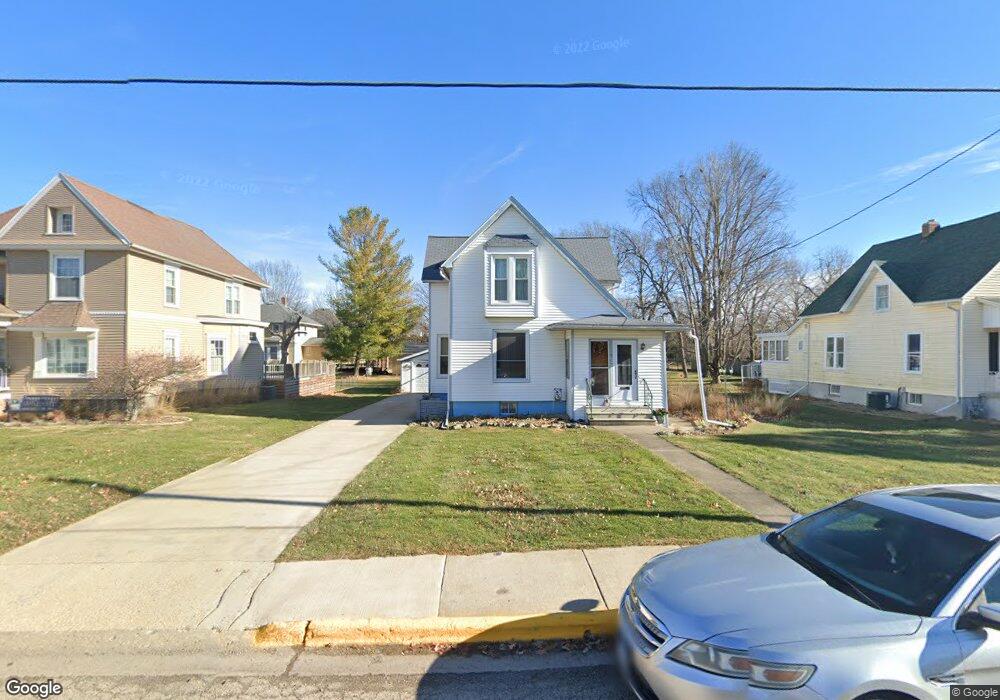
217 S Euclid Ave Princeton, IL 61356
Estimated Value: $98,906 - $160,000
--
Bed
--
Bath
--
Sq Ft
7,928
Sq Ft Lot
About This Home
This home is located at 217 S Euclid Ave, Princeton, IL 61356 and is currently estimated at $127,477. 217 S Euclid Ave is a home located in Bureau County with nearby schools including Lincoln Elementary School, Jefferson Elementary School, and Logan Junior High School.
Ownership History
Date
Name
Owned For
Owner Type
Purchase Details
Closed on
May 19, 2006
Sold by
Sissel Robert G and Sissel Carmen Lynn
Bought by
Sissell Robert G and Sissell Carmen Lynn
Current Estimated Value
Home Financials for this Owner
Home Financials are based on the most recent Mortgage that was taken out on this home.
Original Mortgage
$26,496
Interest Rate
6.62%
Mortgage Type
Stand Alone Second
Create a Home Valuation Report for This Property
The Home Valuation Report is an in-depth analysis detailing your home's value as well as a comparison with similar homes in the area
Home Values in the Area
Average Home Value in this Area
Purchase History
| Date | Buyer | Sale Price | Title Company |
|---|---|---|---|
| Sissell Robert G | -- | None Available |
Source: Public Records
Mortgage History
| Date | Status | Borrower | Loan Amount |
|---|---|---|---|
| Closed | Sissell Robert G | $26,496 |
Source: Public Records
Tax History Compared to Growth
Tax History
| Year | Tax Paid | Tax Assessment Tax Assessment Total Assessment is a certain percentage of the fair market value that is determined by local assessors to be the total taxable value of land and additions on the property. | Land | Improvement |
|---|---|---|---|---|
| 2024 | $864 | $30,914 | $6,027 | $24,887 |
| 2023 | $864 | $28,471 | $5,551 | $22,920 |
| 2022 | $871 | $26,693 | $5,204 | $21,489 |
| 2021 | $900 | $25,268 | $4,926 | $20,342 |
| 2020 | $905 | $24,343 | $4,746 | $19,597 |
| 2019 | $919 | $24,052 | $4,689 | $19,363 |
| 2018 | $918 | $23,641 | $4,609 | $19,032 |
| 2017 | $930 | $23,727 | $4,626 | $19,101 |
| 2016 | $1,393 | $23,107 | $4,505 | $18,602 |
| 2015 | -- | $18,277 | $0 | $18,277 |
| 2014 | -- | $22,704 | $4,427 | $18,277 |
| 2013 | -- | $22,827 | $4,451 | $18,376 |
Source: Public Records
Map
Nearby Homes
- 443 E Peru St
- 525 E Marion St
- 310 S Pleasant St
- 804 S Euclid Ave
- 432 S 1st St
- 405 N Church St
- 420 N Church St
- 625 S 5th Avenue Dr
- 215 N Randolph St
- 225 N Randolph St
- 725 Independence Dr
- 506 N Pleasant St
- 1118 S Euclid Ave
- 103 S Plum St
- 311 W Franklin St
- 708 E Thompson St
- 825 E Thompson St
- 120 W Marquette St
- 1007 W Farnham St
- 815 W Hudson St
- 223 S Euclid Ave
- 211 S Euclid Ave
- 203 S Euclid Ave
- 304 S Euclid Ave
- 424 E Crown St
- 428 E Crown St
- 132 S Euclid Ave
- 432 E Crown St
- 227 S Chestnut St
- 419 E Peru St
- 436 E Crown St
- 122 S Euclid Ave
- 323 E Peru St
- 405 E Peru St
- 207 S Chestnut St
- 301 S Chestnut St
- 303 S Chestnut St
- 313 E Peru St
- 201 S Chestnut St