Estimated Value: $107,435
--
Bed
--
Bath
5,040
Sq Ft
$21/Sq Ft
Est. Value
About This Home
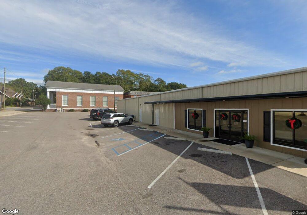
This home is located at 217 S Union Ave, Ozark, AL 36360 and is currently priced at $107,435, approximately $21 per square foot. 217 S Union Ave is a home located in Dale County with nearby schools including Lisenby Primary School, Mixon Intermediate School, and D. A. Smith Middle School.
Ownership History
Date
Name
Owned For
Owner Type
Purchase Details
Closed on
Nov 29, 2019
Sold by
217 South Union Avenue Llc
Bought by
Dale County Farmers Federation
Current Estimated Value
Purchase Details
Closed on
Aug 14, 2015
Sold by
Ozark Machine Shop Llc
Bought by
217 South Union Avenue Llc
Create a Home Valuation Report for This Property
The Home Valuation Report is an in-depth analysis detailing your home's value as well as a comparison with similar homes in the area
Home Values in the Area
Average Home Value in this Area
Purchase History
| Date | Buyer | Sale Price | Title Company |
|---|---|---|---|
| Dale County Farmers Federation | $76,000 | None Available | |
| 217 South Union Avenue Llc | $99,280 | -- |
Source: Public Records
Tax History Compared to Growth
Tax History
| Year | Tax Paid | Tax Assessment Tax Assessment Total Assessment is a certain percentage of the fair market value that is determined by local assessors to be the total taxable value of land and additions on the property. | Land | Improvement |
|---|---|---|---|---|
| 2024 | $4,353 | $86,200 | $10,000 | $76,200 |
| 2023 | $4,353 | $86,200 | $10,000 | $76,200 |
| 2022 | $3,377 | $66,880 | $10,000 | $56,880 |
| 2021 | $1,157 | $22,920 | $10,000 | $12,920 |
| 2020 | $1,157 | $22,920 | $10,000 | $12,920 |
| 2019 | $1,157 | $22,920 | $10,000 | $12,920 |
| 2018 | $1,003 | $19,860 | $10,000 | $9,860 |
| 2017 | $1,003 | $19,860 | $10,000 | $9,860 |
| 2016 | $1,003 | $19,860 | $10,000 | $9,860 |
| 2015 | $1,003 | $19,860 | $10,000 | $9,860 |
| 2014 | $994 | $19,680 | $10,000 | $9,680 |
| 2013 | $984 | $19,680 | $10,000 | $9,680 |
Source: Public Records
Map
Nearby Homes
- 0 Pierces Station 14a Unit 204870
- 0 Pierces Station 15a Unit 204869
- 0 Pierces Station 18a Unit 204868
- 0 Ellens Path 22b Unit 204865
- 0 Ellens Path 21b Unit 204866
- 0 Ellens Path 20b Unit 204867
- 0 Pierces Station 17a Unit 204859
- 0 Ellens Path 26b Unit 204858
- 0 Ellens Path 25b Unit 204860
- 0 Ellens Path 23b Unit 204863
- 0 Ellens Path 24b Unit 204862
- 0 Ellens Path 31b Unit 204856
- 0 Ellens Path 27b Unit 204857
- 0 Ellens Path 34b Unit 204853
- 0 Unit 204854
- 0 Ellen's Path 32b Unit 204855
- 0 Pierces Station 16a Unit 204852
- 0 Pierce's Station 36c Unit 204851
- 0 Pierce's Station 37c Unit 204850
- 0 Pierce's Station 42c Unit 204848
- 217 S Union Ave
- 231 S Union Ave
- 133 S East Ave
- 139 E Reynolds St
- 135 E Reynolds St
- 184 S Union Ave
- 0221 Eufaula St
- 251 S East Ave
- 251 S East Ave
- 271 S East Ave
- 280 S East Ave
- 282 S East Ave
- 133 S Court Square
- 295 N South Union Ave
- 295 S Union Ave
- 206 E Eufaula St
- 127 E College St
- 181 W Reynolds St
- 190 W Reynolds St
- 201 E Eufaula St