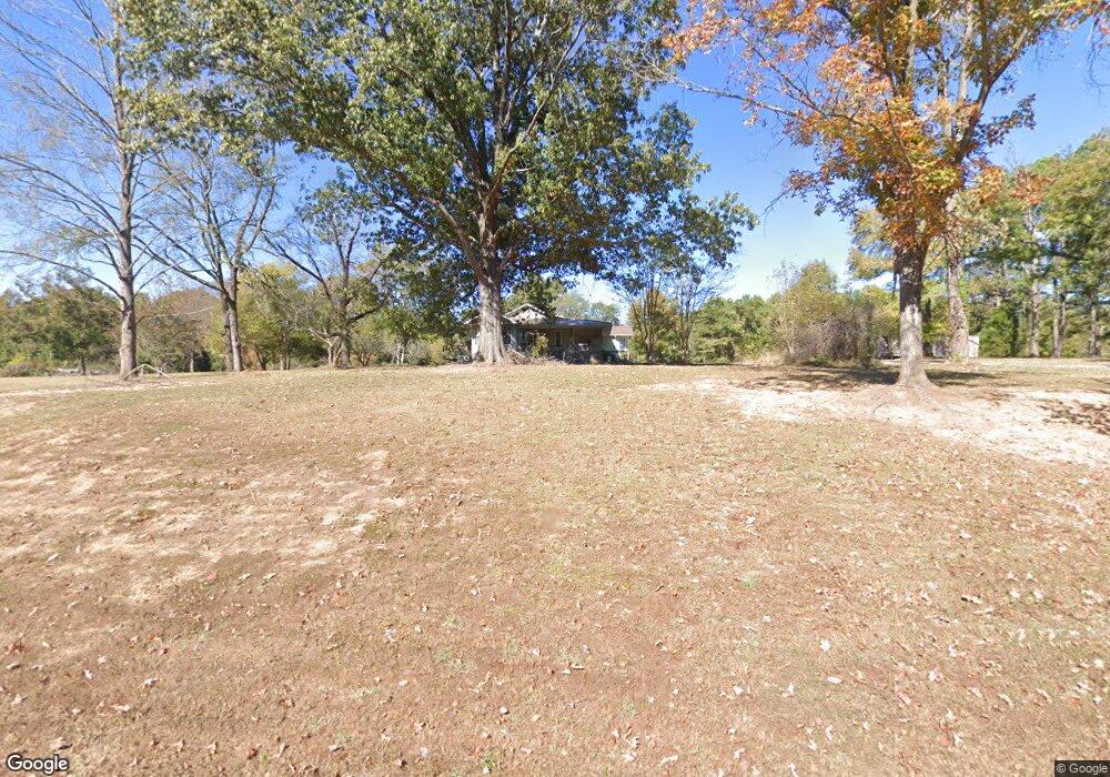
217 Sfc 328 Forrest City, AR 72335
Estimated Value: $96,000 - $157,000
3
Beds
2
Baths
1,998
Sq Ft
$63/Sq Ft
Est. Value
About This Home
This home is located at 217 Sfc 328, Forrest City, AR 72335 and is currently estimated at $125,735, approximately $62 per square foot. 217 Sfc 328 is a home located in St. Francis County with nearby schools including Central Elementary School, Stewart Elementary School, and Forrest City Junior High School.
Ownership History
Date
Name
Owned For
Owner Type
Purchase Details
Closed on
Nov 25, 2019
Sold by
Bank Of America Na
Bought by
Milton Curtis Eugene and Milton Dinah Foran
Current Estimated Value
Purchase Details
Closed on
Sep 11, 2019
Sold by
Federal National Mortgage Association
Bought by
Bank Of America Na
Purchase Details
Closed on
Jul 25, 2019
Sold by
Fannie Mae
Bought by
Bank Of America Na
Purchase Details
Closed on
Jul 7, 1992
Sold by
Not Provided
Bought by
Barker Leland and Barker Retha M
Create a Home Valuation Report for This Property
The Home Valuation Report is an in-depth analysis detailing your home's value as well as a comparison with similar homes in the area
Home Values in the Area
Average Home Value in this Area
Purchase History
| Date | Buyer | Sale Price | Title Company |
|---|---|---|---|
| Milton Curtis Eugene | $53,760 | Servicelink | |
| Bank Of America Na | -- | Servicelink Llc | |
| Bank Of America Na | $2,000 | None Available | |
| Barker Leland | $15,000 | -- |
Source: Public Records
Tax History Compared to Growth
Tax History
| Year | Tax Paid | Tax Assessment Tax Assessment Total Assessment is a certain percentage of the fair market value that is determined by local assessors to be the total taxable value of land and additions on the property. | Land | Improvement |
|---|---|---|---|---|
| 2024 | $957 | $24,040 | $1,400 | $22,640 |
| 2023 | $930 | $24,040 | $1,400 | $22,640 |
| 2022 | $907 | $24,040 | $1,400 | $22,640 |
| 2021 | $825 | $21,250 | $1,200 | $20,050 |
| 2020 | $825 | $21,250 | $1,200 | $20,050 |
| 2019 | $846 | $21,250 | $1,200 | $20,050 |
| 2018 | $846 | $21,250 | $1,200 | $20,050 |
| 2017 | $872 | $21,900 | $1,850 | $20,050 |
| 2016 | $847 | $21,280 | $1,950 | $19,330 |
| 2015 | $805 | $20,220 | $1,950 | $18,270 |
| 2014 | $805 | $20,220 | $1,950 | $18,270 |
Source: Public Records
Map
Nearby Homes
- 481 Sfc 333
- 192 Sfc 322
- 30+\- Acres Sfc 328
- 802 Sfc 328
- 0 Good Hope Rd
- 533 Sfc 311
- 211 Woods Rd
- 0 Sfc 355
- 0 N Washington St
- 4.59 Acres N Washington St
- 361 Yorktown Dr
- 2073 Arkansas 306
- 220 Lexington Dr
- 8697 Highway 284
- 917 Calvert Cove
- 308 Trenton Rd
- 296 Old Military Rd E
- 423 Laughrun Dr
- 347 Old Military Rd E
- 1255 Chestnut St