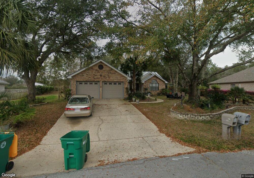
217 Skyline Cir Crestview, FL 32539
Estimated Value: $322,350 - $353,000
3
Beds
2
Baths
1,892
Sq Ft
$178/Sq Ft
Est. Value
About This Home
This home is located at 217 Skyline Cir, Crestview, FL 32539 and is currently estimated at $337,338, approximately $178 per square foot. 217 Skyline Cir is a home located in Okaloosa County with nearby schools including Antioch Elementary School, Shoal River Middle School, and Crestview High School.
Ownership History
Date
Name
Owned For
Owner Type
Purchase Details
Closed on
Aug 15, 2003
Sold by
Phillips Robert Stanley and Phillips Kathleen M
Bought by
Lang John L and Lang Kymberly E
Current Estimated Value
Home Financials for this Owner
Home Financials are based on the most recent Mortgage that was taken out on this home.
Original Mortgage
$146,880
Outstanding Balance
$62,114
Interest Rate
5.42%
Mortgage Type
VA
Estimated Equity
$275,224
Purchase Details
Closed on
Apr 11, 2000
Sold by
Hall William T
Bought by
Phillips Robert Stanley and Phillips Kathleen M
Create a Home Valuation Report for This Property
The Home Valuation Report is an in-depth analysis detailing your home's value as well as a comparison with similar homes in the area
Home Values in the Area
Average Home Value in this Area
Purchase History
| Date | Buyer | Sale Price | Title Company |
|---|---|---|---|
| Lang John L | $144,000 | Moulton Dowd Title Inc | |
| Phillips Robert Stanley | -- | -- |
Source: Public Records
Mortgage History
| Date | Status | Borrower | Loan Amount |
|---|---|---|---|
| Open | Lang John L | $146,880 |
Source: Public Records
Tax History
| Year | Tax Paid | Tax Assessment Tax Assessment Total Assessment is a certain percentage of the fair market value that is determined by local assessors to be the total taxable value of land and additions on the property. | Land | Improvement |
|---|---|---|---|---|
| 2025 | $124 | $192,976 | -- | -- |
| 2024 | $108 | $187,537 | -- | -- |
| 2023 | $108 | $174,901 | $0 | $0 |
| 2022 | $1,411 | $169,807 | $0 | $0 |
| 2021 | $1,411 | $164,861 | $0 | $0 |
| 2020 | $1,398 | $162,585 | $0 | $0 |
| 2019 | $1,384 | $158,930 | $0 | $0 |
| 2018 | $1,373 | $155,967 | $0 | $0 |
| 2017 | $1,369 | $152,759 | $0 | $0 |
| 2016 | $1,335 | $149,617 | $0 | $0 |
| 2015 | $1,370 | $148,577 | $0 | $0 |
| 2014 | $1,374 | $147,398 | $0 | $0 |
Source: Public Records
Map
Nearby Homes
- 4602 Top Flight Dr
- 329 Skyline Cir
- 1110 Shoal River Dr
- 4581 Top Flight Dr
- 4654 Browning Ct
- 2800 Ram Ln
- 2806 Dunlop Ln
- 2909 Chancery Ln
- 2822 Atoka Trail
- 280 Timberline Dr
- 4591 Scarlet Dr
- 609 Lynn Brook W
- 4651 Honor Guard Way
- 4672 Browning Ct Unit Lot 11
- 2837 Tamiami Trail
- 426 Brown Place
- 4674 Browning Ct
- 4684 Marine Loop
- 4680 Marine Loop
- 4686 Marine Loop
- 209 Skyline Cir
- 00 Skyline Cir
- 214 Skyline Cir
- 210 Skyline Cir
- 221 Skyline Cir
- 218 Skyline Cir
- 222 Skyline Cir
- 225 Skyline Cir
- 201 Skyline Cir
- 206 Skyline Cir
- 301 Skyline Cir
- 199 Skyline Cir
- 202 Skyline Cir
- 305 Skyline Cir
- 4619 Top Flight Dr
- 4621 Top Flight Dr
- 310 Skyline Cir
- 4617 Top Flight Dr
- 309 Skyline Cir
- 4615 Top Flight Dr
Your Personal Tour Guide
Ask me questions while you tour the home.