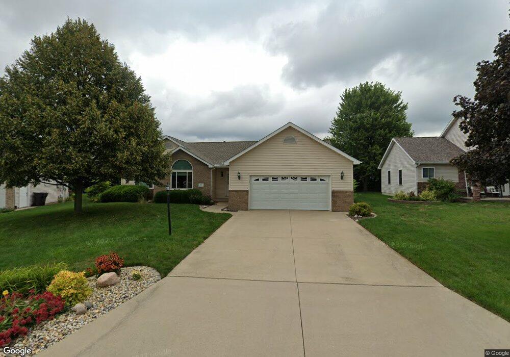
217 Thornton Ct East Peoria, IL 61611
Estimated Value: $305,962 - $335,000
3
Beds
3
Baths
1,726
Sq Ft
$183/Sq Ft
Est. Value
About This Home
This home is located at 217 Thornton Ct, East Peoria, IL 61611 and is currently estimated at $315,741, approximately $182 per square foot. 217 Thornton Ct is a home located in Tazewell County with nearby schools including Morton High School.
Ownership History
Date
Name
Owned For
Owner Type
Purchase Details
Closed on
May 20, 2011
Sold by
Mattern Mark B and Mattern Jill D
Bought by
Lowe Michael and Lowe Patricia
Current Estimated Value
Home Financials for this Owner
Home Financials are based on the most recent Mortgage that was taken out on this home.
Original Mortgage
$150,000
Outstanding Balance
$104,387
Interest Rate
4.91%
Mortgage Type
New Conventional
Estimated Equity
$211,354
Purchase Details
Closed on
Jun 6, 2008
Sold by
Lane Frances J
Bought by
Huffman Donald R and Huffman Holly M
Home Financials for this Owner
Home Financials are based on the most recent Mortgage that was taken out on this home.
Original Mortgage
$65,500
Interest Rate
6.01%
Mortgage Type
Purchase Money Mortgage
Create a Home Valuation Report for This Property
The Home Valuation Report is an in-depth analysis detailing your home's value as well as a comparison with similar homes in the area
Home Values in the Area
Average Home Value in this Area
Purchase History
| Date | Buyer | Sale Price | Title Company |
|---|---|---|---|
| Lowe Michael | $205,000 | None Available | |
| Huffman Donald R | $73,000 | None Available |
Source: Public Records
Mortgage History
| Date | Status | Borrower | Loan Amount |
|---|---|---|---|
| Open | Lowe Michael | $150,000 | |
| Previous Owner | Huffman Donald R | $65,500 |
Source: Public Records
Tax History Compared to Growth
Tax History
| Year | Tax Paid | Tax Assessment Tax Assessment Total Assessment is a certain percentage of the fair market value that is determined by local assessors to be the total taxable value of land and additions on the property. | Land | Improvement |
|---|---|---|---|---|
| 2024 | $5,830 | $86,370 | $13,180 | $73,190 |
| 2023 | $5,830 | $79,300 | $12,100 | $67,200 |
| 2022 | $5,619 | $73,350 | $11,190 | $62,160 |
| 2021 | $5,351 | $70,530 | $10,760 | $59,770 |
| 2020 | $5,220 | $70,530 | $10,760 | $59,770 |
| 2019 | $5,256 | $70,530 | $10,760 | $59,770 |
| 2018 | $5,146 | $70,530 | $10,760 | $59,770 |
| 2017 | $5,039 | $68,330 | $10,420 | $57,910 |
| 2016 | $4,993 | $68,330 | $10,420 | $57,910 |
| 2015 | $4,788 | $0 | $0 | $0 |
| 2013 | $4,769 | $68,330 | $10,420 | $57,910 |
Source: Public Records
Map
Nearby Homes
- 3301 Springfield Rd
- Lot 4 Harris Rd
- 015 Harris Rd
- 301 Briarbrook Dr
- Lot 1 Briarbrook Dr
- Lot 2 Briarbrook Dr
- 129 Glenridge Dr
- 0 Pinecrest Dr
- 409 Briarbrook Dr
- 2217 Springfield Rd
- 515 Briarbrook Dr
- 12 Oak Creek Dr
- 110 Susan Ct
- 118 Susan Ct
- 122 Susan Ct
- 126 Susan Ct
- 130 Susan Ct
- 101 Woodbrook Ct
- 105 Sheffield Rd
- 106 Stone Creek Ct
- 221 Thornton Ct
- 213 Thornton Ct
- 208 Thornton Ct
- 209 Thornton Ct
- 218 Thornton Ct
- 228 Thornton Ct
- 205 Thornton Ct
- 224 Thornton Ct
- 101 Prairieview Dr
- 200 Thornton Ct
- 156 Heatherview Dr
- 105 Prairieview Dr
- 201 Thornton Ct
- 113 Thornton Ct
- 152 Heatherview Dr
- 109 Prairieview Dr
- 100 Prairieview Dr
- 108 Thornton Ct
- 113 Prairieview Dr