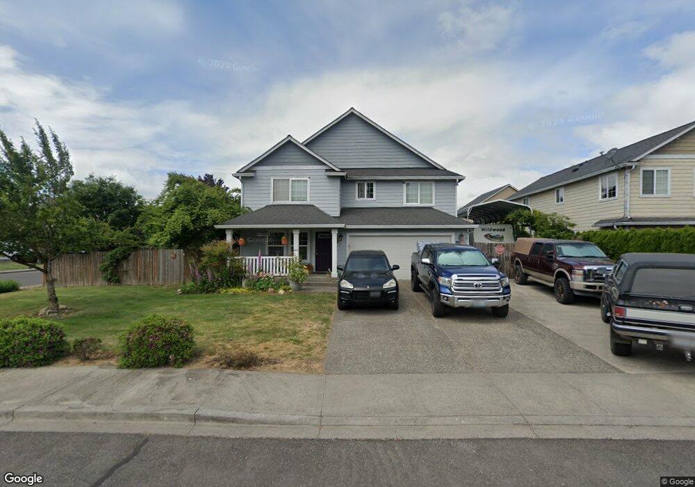
217 Tsugawa Ct Woodland, WA 98674
Estimated Value: $524,612 - $612,000
4
Beds
3
Baths
2,393
Sq Ft
$241/Sq Ft
Est. Value
About This Home
This home is located at 217 Tsugawa Ct, Woodland, WA 98674 and is currently estimated at $575,903, approximately $240 per square foot. 217 Tsugawa Ct is a home located in Cowlitz County with nearby schools including Woodland High School.
Ownership History
Date
Name
Owned For
Owner Type
Purchase Details
Closed on
Jun 20, 2005
Sold by
Sun Country Homes Inc
Bought by
Muthandi John and Muthandi Elizabeth L
Current Estimated Value
Home Financials for this Owner
Home Financials are based on the most recent Mortgage that was taken out on this home.
Original Mortgage
$40,325
Interest Rate
5.72%
Mortgage Type
Stand Alone Second
Purchase Details
Closed on
Apr 14, 2005
Sold by
Sun Country Homes Inc
Bought by
Morin John J and Morin Betty L
Create a Home Valuation Report for This Property
The Home Valuation Report is an in-depth analysis detailing your home's value as well as a comparison with similar homes in the area
Home Values in the Area
Average Home Value in this Area
Purchase History
| Date | Buyer | Sale Price | Title Company |
|---|---|---|---|
| Muthandi John | $201,625 | Cowlitz County Title | |
| Morin John J | $178,525 | Cowlitz County Title |
Source: Public Records
Mortgage History
| Date | Status | Borrower | Loan Amount |
|---|---|---|---|
| Closed | Muthandi John | $40,325 | |
| Open | Muthandi John | $161,300 |
Source: Public Records
Tax History Compared to Growth
Tax History
| Year | Tax Paid | Tax Assessment Tax Assessment Total Assessment is a certain percentage of the fair market value that is determined by local assessors to be the total taxable value of land and additions on the property. | Land | Improvement |
|---|---|---|---|---|
| 2024 | $4,870 | $441,940 | $56,980 | $384,960 |
| 2023 | $3,521 | $404,360 | $56,980 | $347,380 |
| 2022 | $4,236 | $418,870 | $56,980 | $361,890 |
| 2021 | $4,671 | $359,100 | $51,800 | $307,300 |
| 2020 | $4,215 | $360,970 | $51,820 | $309,150 |
| 2019 | $3,571 | $325,410 | $51,824 | $273,586 |
| 2018 | $3,873 | $309,920 | $51,820 | $258,100 |
| 2017 | $3,234 | $295,610 | $49,360 | $246,250 |
| 2016 | $3,053 | $254,120 | $45,700 | $208,420 |
| 2015 | $2,626 | $236,020 | $45,700 | $190,320 |
| 2013 | -- | $178,160 | $41,580 | $136,580 |
Source: Public Records
Map
Nearby Homes
- 440 Twin Flower Dr S
- 115 Whalen Loop Rd
- 0 Whalen Rd
- 526 3rd St
- 707 3rd St
- 234 Loves Ave
- 766 Hoffman St
- 600 Cc St
- 229 Cc St
- 442 Washington St
- 0 NW 389th St Unit 257845145
- 0 NW 389th St Unit NWM2280971
- 0 NW 389th St Unit 24366944
- 1018 Caples Rd
- 147 Windmill Ln
- 39806 NW 64th Ct
- 1 NW 389th St
- 1066 S Pekin Rd
- 370 Tulip Ln
- 4008 NW 402nd St
- 211 Tsugawa Ct
- 222 Raspberry Ln
- 216 Raspberry Ln
- 205 Tsugawa Ct
- 543 Windflower Dr
- 527 Windflower Dr
- 218 Tsugawa Ct
- 214 Tsugawa Ct
- 210 Raspberry Ln
- 585 Windflower Dr
- 203 Tsugawa Ct
- 204 Raspberry Ln
- 485 Windflower Dr
- 476 Windflower Dr
- 219 Raspberry Ln
- 234 Raspberry Ln
- 223 Raspberry Ln
- 301 S Star Flower Dr
- 460 Twin Flower Dr S