217 Turtle Rd New Milford, PA 18834
Estimated Value: $76,000 - $307,000
--
Bed
--
Bath
--
Sq Ft
0.5
Acres
About This Home
This home is located at 217 Turtle Rd, New Milford, PA 18834 and is currently estimated at $147,696. 217 Turtle Rd is a home with nearby schools including Blue Ridge Elementary School, Blue Ridge Middle School, and Blue Ridge High School.
Ownership History
Date
Name
Owned For
Owner Type
Purchase Details
Closed on
Aug 28, 2024
Sold by
Thompson Rodney J
Bought by
Aea Investments Llc
Current Estimated Value
Purchase Details
Closed on
May 23, 2014
Sold by
Thompson Michelle and Dunbar Donald V
Bought by
Thompson Rodney J
Purchase Details
Closed on
Oct 4, 2011
Sold by
Garrison Properties Llc
Bought by
Thompson Michelle
Purchase Details
Closed on
Dec 18, 2009
Sold by
Stonecrest Income And Opportunity Fund I
Bought by
Garrison Properties Llc
Purchase Details
Closed on
Aug 31, 2009
Sold by
Hsbc Bank Usa Na
Bought by
Stonecrest Income And Opportunity Fund L
Purchase Details
Closed on
Apr 29, 2008
Sold by
Mirra Brain C
Bought by
Hsbc Bank Usa Na
Create a Home Valuation Report for This Property
The Home Valuation Report is an in-depth analysis detailing your home's value as well as a comparison with similar homes in the area
Home Values in the Area
Average Home Value in this Area
Purchase History
| Date | Buyer | Sale Price | Title Company |
|---|---|---|---|
| Aea Investments Llc | $25,000 | None Listed On Document | |
| Thompson Rodney J | -- | None Available | |
| Thompson Michelle | $32,500 | None Available | |
| Garrison Properties Llc | $12,753 | None Available | |
| Stonecrest Income And Opportunity Fund L | $10,252 | American Land Title Associai | |
| Hsbc Bank Usa Na | $31,169 | None Available |
Source: Public Records
Tax History Compared to Growth
Tax History
| Year | Tax Paid | Tax Assessment Tax Assessment Total Assessment is a certain percentage of the fair market value that is determined by local assessors to be the total taxable value of land and additions on the property. | Land | Improvement |
|---|---|---|---|---|
| 2025 | $1,392 | $19,800 | $4,000 | $15,800 |
| 2024 | $1,357 | $19,800 | $4,000 | $15,800 |
| 2023 | $1,311 | $19,800 | $4,000 | $15,800 |
| 2022 | $1,305 | $19,800 | $4,000 | $15,800 |
| 2021 | $1,311 | $19,800 | $4,000 | $15,800 |
| 2020 | $1,311 | $19,800 | $4,000 | $15,800 |
| 2019 | $1,311 | $19,800 | $4,000 | $15,800 |
| 2018 | $1,311 | $19,800 | $4,000 | $15,800 |
| 2017 | $19,800 | $19,800 | $4,000 | $15,800 |
| 2016 | $1,272 | $19,800 | $4,000 | $15,800 |
| 2015 | $208 | $19,800 | $0 | $0 |
| 2014 | $208 | $19,800 | $0 | $0 |
Source: Public Records
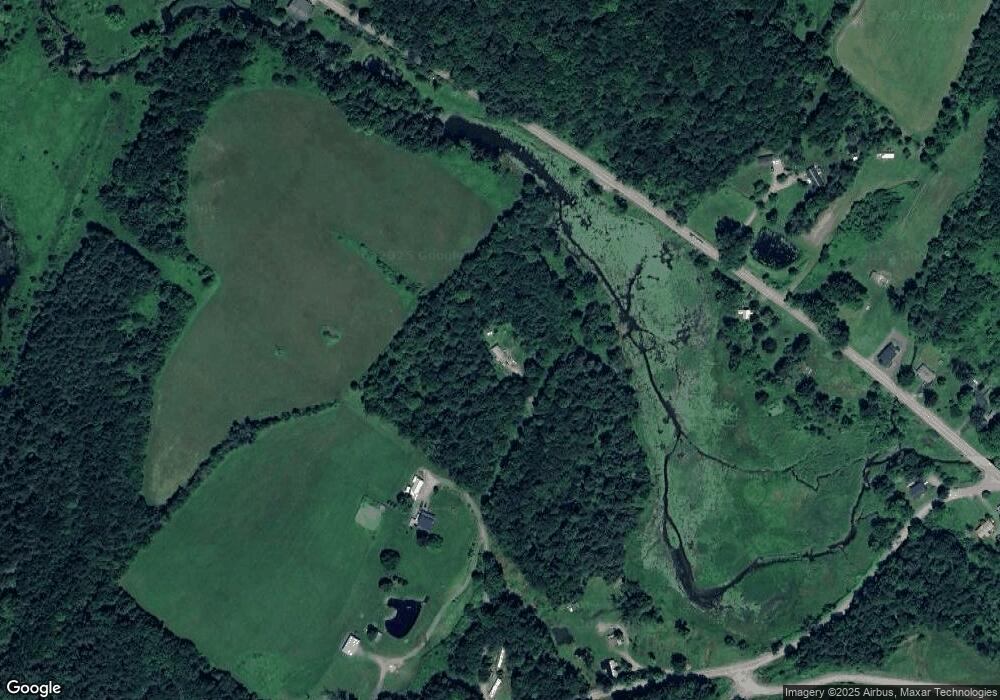
Map
Nearby Homes
- 3953 Pennsylvania 492
- 5342 Pennsylvania 492
- 2083 Snyder Rd
- 816 Hall Rd
- 266 Warren Rd
- 2269 Creek Rd
- 18 Longacres Rd
- 0 R D 1 Unit PASU2000094
- 0 R D 1 Unit PASU2000092
- 0 R D 1 Unit PASU2000090
- 0 R D 1 Unit PASU2000088
- 0 R D 1 Unit PASU2000086
- 1526 Lakeview Rd
- 1742 Pennsylvania 848
- 1036 Fuller Lake Rd
- 110 Jackson St
- 464 Main St
- 107 Norton Rd
- 65 Broad St
- 47 Broad St
- 3649 State Route 492
- 3738 State Route 492
- 1305 Stump Pond Rd
- 3653 State Route 492
- 1175 Stump Pond Rd
- 3757 State Route 492
- 3366 State Route 492
- 1495 Stump Pond Rd
- 3813 State Route 492
- 1504 Stump Pond Rd
- 1512 Stump Pond Rd
- 3878 Pennsylvania 492
- 45 Brushville Rd
- 3878 State Route 492
- 57 Brushville Rd
- 3940 State Route 492
- 96 Rr 2 Brushville Rd
- 68 Brushville Rd
- 3931 State Route 492
- 29 W Shore Dr