217 Urie Ave Dalton, PA 18414
Estimated Value: $112,638 - $416,000
--
Bed
--
Bath
--
Sq Ft
0.7
Acres
About This Home
This home is located at 217 Urie Ave, Dalton, PA 18414 and is currently estimated at $279,879. 217 Urie Ave is a home with nearby schools including Tunkhannock Middle School and Tunkhannock High School.
Ownership History
Date
Name
Owned For
Owner Type
Purchase Details
Closed on
Apr 7, 2015
Sold by
Demartino Frank J and Demartino Margaret E
Bought by
Demartino Frank J and Demartino Margaret E
Current Estimated Value
Purchase Details
Closed on
Jun 27, 2013
Sold by
Warne William T and Warne Frances D
Bought by
Demartino Frank J and Demartino Margaret E
Home Financials for this Owner
Home Financials are based on the most recent Mortgage that was taken out on this home.
Original Mortgage
$153,225
Interest Rate
3.59%
Mortgage Type
VA
Create a Home Valuation Report for This Property
The Home Valuation Report is an in-depth analysis detailing your home's value as well as a comparison with similar homes in the area
Home Values in the Area
Average Home Value in this Area
Purchase History
| Date | Buyer | Sale Price | Title Company |
|---|---|---|---|
| Demartino Frank J | -- | None Available | |
| Demartino Frank J | $150,000 | None Available |
Source: Public Records
Mortgage History
| Date | Status | Borrower | Loan Amount |
|---|---|---|---|
| Previous Owner | Demartino Frank J | $153,225 |
Source: Public Records
Tax History Compared to Growth
Tax History
| Year | Tax Paid | Tax Assessment Tax Assessment Total Assessment is a certain percentage of the fair market value that is determined by local assessors to be the total taxable value of land and additions on the property. | Land | Improvement |
|---|---|---|---|---|
| 2025 | $1,817 | $15,920 | $2,100 | $13,820 |
| 2024 | $1,817 | $15,920 | $2,100 | $13,820 |
| 2023 | $1,801 | $15,920 | $2,100 | $13,820 |
| 2022 | $1,777 | $15,920 | $2,100 | $13,820 |
| 2021 | $1,738 | $15,920 | $2,100 | $13,820 |
| 2020 | $1,738 | $15,920 | $2,100 | $13,820 |
| 2019 | $1,706 | $15,920 | $2,100 | $13,820 |
| 2018 | $1,666 | $15,920 | $2,100 | $13,820 |
| 2017 | $1,642 | $0 | $0 | $0 |
| 2016 | -- | $0 | $0 | $0 |
| 2015 | -- | $0 | $0 | $0 |
| 2014 | -- | $0 | $0 | $0 |
Source: Public Records
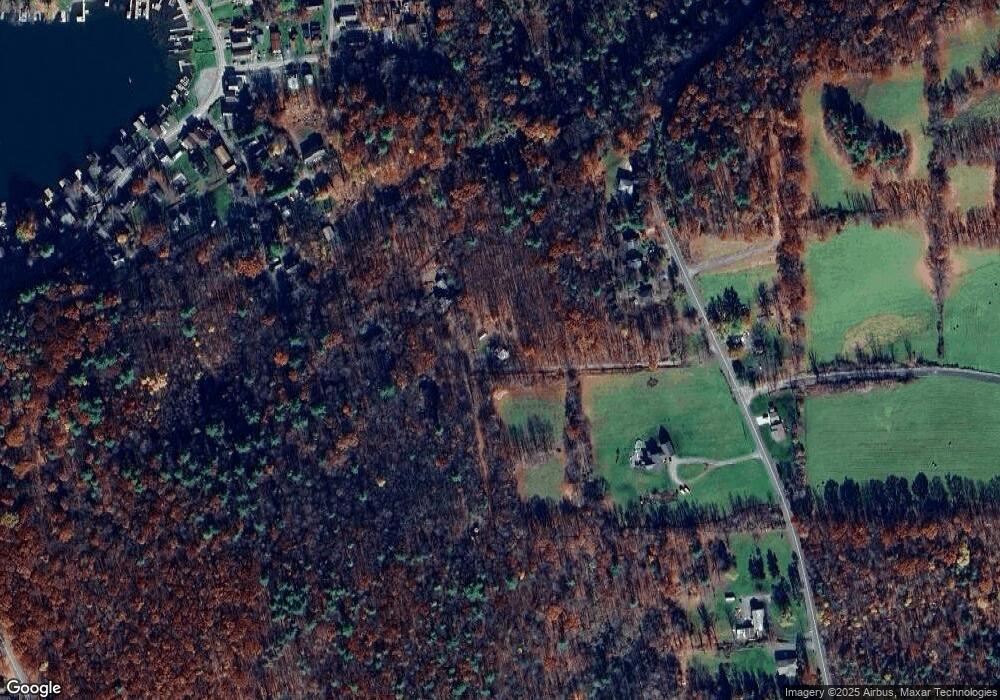
Map
Nearby Homes
- 1228 Lake Rd
- 134 Chestnut St
- 1262 Lake Rd
- 1171 Lake Rd
- 156 Mahon Ave
- 1335 Lake Rd
- 464 Point Rd
- 468 Point Rd
- Rt 307 Trout Ln
- 186 Point Rd
- 909 Sr 307
- 108 Frear Ln
- 118 Evergreen Ln
- 123 Bonifanti Ln
- 1536 Sr 307
- 0 Lower Mill City Rd Unit GSBSC254966
- 5 Middle Mountain Dr
- L109 Waterview Ct
- 167 Braemar Terrace
- 250 Roosevelt Hwy