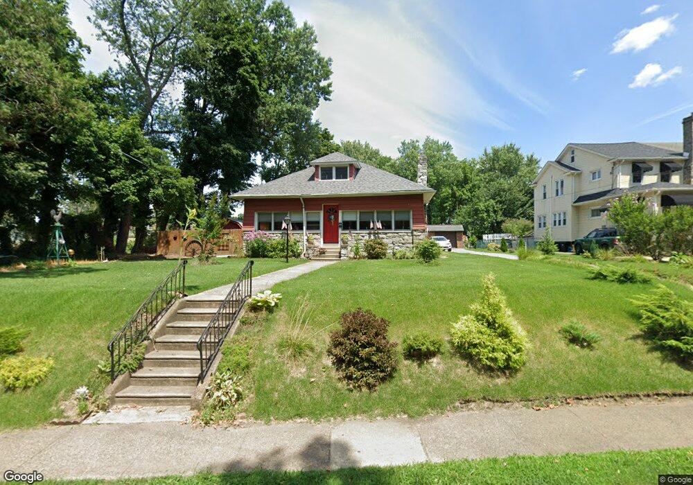
217 W Ashland Ave Glenolden, PA 19036
Estimated Value: $337,000 - $417,000
3
Beds
2
Baths
2,421
Sq Ft
$152/Sq Ft
Est. Value
About This Home
This home is located at 217 W Ashland Ave, Glenolden, PA 19036 and is currently estimated at $368,835, approximately $152 per square foot. 217 W Ashland Ave is a home located in Delaware County with nearby schools including Glenolden School, Interboro Senior High School, and Liberty Baptist Academy.
Ownership History
Date
Name
Owned For
Owner Type
Purchase Details
Closed on
Oct 20, 2006
Sold by
Wood George F and Wood Dorothy
Bought by
Howard Diane
Current Estimated Value
Home Financials for this Owner
Home Financials are based on the most recent Mortgage that was taken out on this home.
Original Mortgage
$207,000
Outstanding Balance
$124,610
Interest Rate
6.62%
Mortgage Type
New Conventional
Estimated Equity
$244,225
Create a Home Valuation Report for This Property
The Home Valuation Report is an in-depth analysis detailing your home's value as well as a comparison with similar homes in the area
Home Values in the Area
Average Home Value in this Area
Purchase History
| Date | Buyer | Sale Price | Title Company |
|---|---|---|---|
| Howard Diane | $230,000 | None Available |
Source: Public Records
Mortgage History
| Date | Status | Borrower | Loan Amount |
|---|---|---|---|
| Open | Howard Diane | $207,000 |
Source: Public Records
Tax History Compared to Growth
Tax History
| Year | Tax Paid | Tax Assessment Tax Assessment Total Assessment is a certain percentage of the fair market value that is determined by local assessors to be the total taxable value of land and additions on the property. | Land | Improvement |
|---|---|---|---|---|
| 2025 | $7,533 | $210,070 | $74,680 | $135,390 |
| 2024 | $7,533 | $210,070 | $74,680 | $135,390 |
| 2023 | $7,370 | $210,070 | $74,680 | $135,390 |
| 2022 | $7,249 | $210,070 | $74,680 | $135,390 |
| 2021 | $10,228 | $210,070 | $74,680 | $135,390 |
| 2020 | $7,258 | $139,470 | $52,670 | $86,800 |
| 2019 | $7,177 | $139,470 | $52,670 | $86,800 |
| 2018 | $7,048 | $139,470 | $0 | $0 |
| 2017 | $6,893 | $139,470 | $0 | $0 |
| 2016 | $765 | $139,470 | $0 | $0 |
| 2015 | $765 | $139,470 | $0 | $0 |
| 2014 | $765 | $139,470 | $0 | $0 |
Source: Public Records
Map
Nearby Homes
- 4 N Chester Pike
- 419 Custer Ave
- 1 S Macdade Blvd
- 106 N Bonsall Ave
- 27 N Macdade Blvd
- 3 W Cooke Ave
- 32 S Macdade Blvd
- 23 W Knowles Ave
- 125 N Scott Ave
- 8 Stuart Ave
- 317 N Llanwellyn Ave
- 630 Richfield Ave
- 46 E Knowles Ave
- 128 E Cooke Ave
- 41 Railroad Ave
- 614 S Garfield Ave
- 323 S Chester Pike
- 111 E Oak Ln
- 604 Crescent Dr
- 18 W Grays Ave
- 215 W Ashland Ave
- 213 W Ashland Ave
- 211 W Ashland Ave
- 207 W Ashland Ave
- 205 W Ashland Ave
- 16 N Llanwellyn Ave
- 203 W Ashland Ave
- 18 N Llanwellyn Ave
- 20 N Llanwellyn Ave
- 201 W Ashland Ave
- 6 S Llanwellyn Ave
- 301 W Ashland Ave
- 22 N Llanwellyn Ave
- 1 S Bonsall Ave
- 1 S Bonsall Ave
- 26 N Llanwellyn Ave
- 303 W Ashland Ave
- 14 N Bonsall Ave
- 12 N Bonsall Ave
- 16 N Bonsall Ave