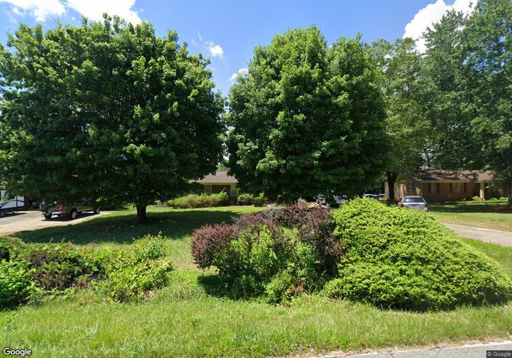
217 W Edison Dr Statesville, NC 28625
Estimated Value: $230,000 - $276,000
3
Beds
2
Baths
1,365
Sq Ft
$182/Sq Ft
Est. Value
About This Home
This home is located at 217 W Edison Dr, Statesville, NC 28625 and is currently estimated at $247,767, approximately $181 per square foot. 217 W Edison Dr is a home located in Iredell County with nearby schools including Cloverleaf Elementary School, Third Creek Middle School, and Statesville High School.
Ownership History
Date
Name
Owned For
Owner Type
Purchase Details
Closed on
Jun 23, 2022
Sold by
Paul Lowry Robert and Paul Gladys W
Bought by
Robert Paul Lowry Living Trust
Current Estimated Value
Purchase Details
Closed on
Jun 1, 1993
Bought by
Lowry Robert Paul and Lowry Sharon
Purchase Details
Closed on
Jan 1, 1992
Purchase Details
Closed on
Feb 1, 1986
Purchase Details
Closed on
Aug 1, 1982
Create a Home Valuation Report for This Property
The Home Valuation Report is an in-depth analysis detailing your home's value as well as a comparison with similar homes in the area
Home Values in the Area
Average Home Value in this Area
Purchase History
| Date | Buyer | Sale Price | Title Company |
|---|---|---|---|
| Robert Paul Lowry Living Trust | -- | Mcpherson Cody E | |
| Lowry Robert Paul | $77,800 | -- | |
| -- | $75,000 | -- | |
| -- | $57,500 | -- | |
| -- | $49,900 | -- |
Source: Public Records
Tax History Compared to Growth
Tax History
| Year | Tax Paid | Tax Assessment Tax Assessment Total Assessment is a certain percentage of the fair market value that is determined by local assessors to be the total taxable value of land and additions on the property. | Land | Improvement |
|---|---|---|---|---|
| 2024 | $1,267 | $193,040 | $30,000 | $163,040 |
| 2023 | $1,199 | $193,040 | $30,000 | $163,040 |
| 2022 | $829 | $122,500 | $15,000 | $107,500 |
| 2021 | $825 | $122,500 | $15,000 | $107,500 |
| 2020 | $825 | $122,500 | $15,000 | $107,500 |
| 2019 | $812 | $122,500 | $15,000 | $107,500 |
| 2018 | $697 | $107,920 | $14,000 | $93,920 |
| 2017 | $697 | $107,920 | $14,000 | $93,920 |
| 2016 | $697 | $107,920 | $14,000 | $93,920 |
| 2015 | $697 | $107,920 | $14,000 | $93,920 |
| 2014 | -- | $108,900 | $14,000 | $94,900 |
Source: Public Records
Map
Nearby Homes
- 152 Postell Dr
- 116 Postell Dr
- 104 Postell Dr
- 678 Turnersburg Hwy
- 495&501 Turnersburg Hwy
- 136 Rimmer Rd
- 472 Turnersburg Hwy
- 201 Tarrington Dr
- 160 Tarrington Dr
- 103 Fairdale Rd
- 139 Valencia Ln
- 166 Rock Ave
- 156 Rock Ave
- 131 Clearview Rd
- 150 Oconee Trail
- 130 Rock Ave
- 125 Rock Ave
- 126 Rock Ave
- 141 Altondale Dr
- 145 Oconee Trail
- 212 W Edison Dr
- 222 W Edison Dr
- 120 Victoria Dr
- 226 W Edison Dr
- 124 Victoria Dr
- 114 Victoria Dr
- 223 W Edison Dr
- 210 W Edison Dr
- 211 W Edison Dr
- 130 Victoria Dr
- 232 W Edison Dr
- 227 W Edison Dr
- 108 Victoria Dr
- 134 Victoria Dr
- 209 Shumaker Dr
- 201 Shumaker Dr
- 234 Edison Dr
- 138 Victoria Dr
- 197 Shumaker Dr
- 202 Victoria Dr