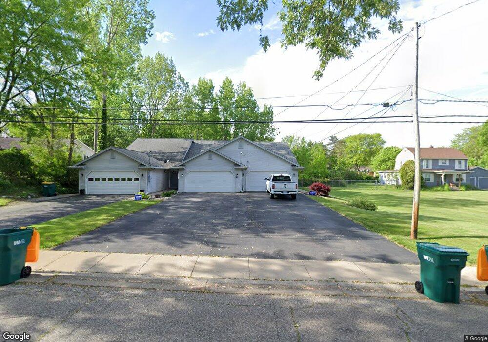
217 W Henry St Unit B Flushing, MI 48433
Estimated Value: $157,000 - $183,000
--
Bed
--
Bath
1,152
Sq Ft
$149/Sq Ft
Est. Value
About This Home
This home is located at 217 W Henry St Unit B, Flushing, MI 48433 and is currently estimated at $172,144, approximately $149 per square foot. 217 W Henry St Unit B is a home located in Genesee County with nearby schools including Central Elementary School, Flushing Middle School, and Flushing High School.
Ownership History
Date
Name
Owned For
Owner Type
Purchase Details
Closed on
Dec 10, 2021
Sold by
Barbour David M
Bought by
Osullivan Margaret Helen
Current Estimated Value
Purchase Details
Closed on
Jul 23, 2001
Sold by
Care Jon and Care Michele B
Bought by
Barbour David M and Barbour David A
Home Financials for this Owner
Home Financials are based on the most recent Mortgage that was taken out on this home.
Original Mortgage
$106,600
Interest Rate
7.16%
Mortgage Type
FHA
Purchase Details
Closed on
Feb 29, 2000
Sold by
Borgerding Richard J and Borgerding Nona A
Bought by
Care Jon
Create a Home Valuation Report for This Property
The Home Valuation Report is an in-depth analysis detailing your home's value as well as a comparison with similar homes in the area
Home Values in the Area
Average Home Value in this Area
Purchase History
| Date | Buyer | Sale Price | Title Company |
|---|---|---|---|
| Osullivan Margaret Helen | $150,000 | First American Title | |
| Barbour David M | $107,500 | First American Title Ins Co | |
| Care Jon | $90,000 | Sargents Title Company |
Source: Public Records
Mortgage History
| Date | Status | Borrower | Loan Amount |
|---|---|---|---|
| Previous Owner | Barbour David M | $106,600 |
Source: Public Records
Tax History Compared to Growth
Tax History
| Year | Tax Paid | Tax Assessment Tax Assessment Total Assessment is a certain percentage of the fair market value that is determined by local assessors to be the total taxable value of land and additions on the property. | Land | Improvement |
|---|---|---|---|---|
| 2025 | $3,189 | $80,800 | $0 | $0 |
| 2024 | $2,587 | $75,400 | $0 | $0 |
| 2023 | $2,489 | $72,300 | $0 | $0 |
| 2022 | $2,574 | $59,900 | $0 | $0 |
| 2021 | $2,574 | $56,000 | $0 | $0 |
| 2020 | $2,182 | $49,700 | $0 | $0 |
| 2019 | $2,150 | $43,800 | $0 | $0 |
| 2018 | $2,385 | $38,600 | $0 | $0 |
| 2017 | $2,269 | $38,100 | $0 | $0 |
| 2016 | $2,251 | $34,703 | $0 | $0 |
| 2015 | $2,240 | $0 | $0 | $0 |
| 2012 | -- | $35,300 | $35,300 | $0 |
Source: Public Records
Map
Nearby Homes
- 212 W Henry St
- 537 Sharon Dr
- 308 N Seymour Rd
- 113 N Mckinley Rd
- 219 Primrose Ln
- 6289 W River Rd
- 410 E Main St
- 210 N Hazelton St
- 309 Arthur St
- 0 E River Rd Unit 50180952
- 3470 Longmeadow Dr
- 3462 Woodridge Dr
- 538 Autumn Dr
- 0 Winters Eave Dr Unit 50117986
- 120 Boman St
- 3372 Woodridge Dr
- 422 Old Mill Dr
- 5284 Chickasaw Trail
- 0 Double Tree Estates
- 10101 Carpenter Rd