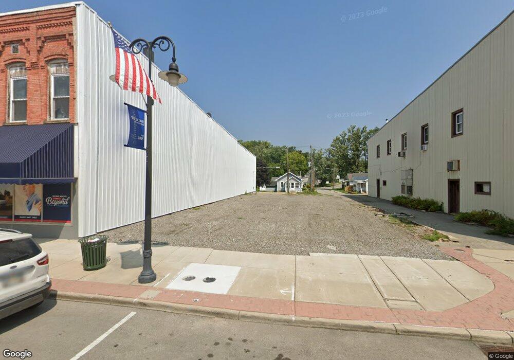
217 W Main St Montpelier, OH 43543
--
Bed
2
Baths
3,360
Sq Ft
--
Built
About This Home
This home is located at 217 W Main St, Montpelier, OH 43543. 217 W Main St is a home located in Williams County with nearby schools including Montpelier Elementary School and Montpelier High School.
Ownership History
Date
Name
Owned For
Owner Type
Purchase Details
Closed on
Jun 10, 2024
Sold by
Williams Cnty Land Reutilizati
Bought by
Village Of Montpelier
Purchase Details
Closed on
Jan 18, 2023
Sold by
Sisco Lonnie and Sisco Mandi
Bought by
Williams County Land Reutilization Corporatio
Purchase Details
Closed on
Dec 22, 2017
Sold by
Rings Pharmacy Inc
Bought by
Sisco Lonnie and Sisco Mandi
Purchase Details
Closed on
Jul 25, 2007
Sold by
Day Robert J and Day Pamela L
Bought by
Rings Pharmacy Inc
Purchase Details
Closed on
Jul 17, 2002
Bought by
Day Robert and Day Pamela
Purchase Details
Closed on
Aug 15, 2000
Sold by
Walkup Roger W and Walkup Sherry
Bought by
Franzdorf Enterprises Llc
Purchase Details
Closed on
Nov 24, 1992
Bought by
Walkup Roger W and Walkup Sherry
Create a Home Valuation Report for This Property
The Home Valuation Report is an in-depth analysis detailing your home's value as well as a comparison with similar homes in the area
Home Values in the Area
Average Home Value in this Area
Purchase History
| Date | Buyer | Sale Price | Title Company |
|---|---|---|---|
| Village Of Montpelier | -- | None Listed On Document | |
| Williams County Land Reutilization Corporatio | -- | -- | |
| Sisco Lonnie | $20,000 | None Available | |
| Rings Pharmacy Inc | $40,000 | None Available | |
| Day Robert | $33,500 | -- | |
| Franzdorf Enterprises Llc | $60,000 | -- | |
| Walkup Roger W | $42,500 | -- |
Source: Public Records
Tax History Compared to Growth
Tax History
| Year | Tax Paid | Tax Assessment Tax Assessment Total Assessment is a certain percentage of the fair market value that is determined by local assessors to be the total taxable value of land and additions on the property. | Land | Improvement |
|---|---|---|---|---|
| 2024 | $68 | $1,790 | $1,790 | $0 |
| 2023 | $55 | $20,300 | $2,030 | $18,270 |
| 2022 | $1,153 | $20,300 | $2,030 | $18,270 |
| 2021 | $1,152 | $20,300 | $2,030 | $18,270 |
| 2020 | $1,170 | $20,300 | $2,030 | $18,270 |
| 2019 | $1,169 | $20,300 | $2,030 | $18,270 |
| 2018 | $1,072 | $20,300 | $2,030 | $18,270 |
| 2017 | $1,048 | $18,690 | $2,030 | $16,660 |
| 2016 | $1,015 | $18,690 | $2,030 | $16,660 |
| 2015 | $1,020 | $18,690 | $2,030 | $16,660 |
| 2014 | $1,020 | $18,690 | $2,030 | $16,660 |
| 2013 | $1,012 | $18,690 | $2,030 | $16,660 |
Source: Public Records
Map
Nearby Homes
- 212 S Pleasant St
- 402 Empire St
- 426 E Water St
- 612 S Pleasant St
- 620 E Washington St
- 500 E Court St
- 420 Steuben St
- 0 John Ave Unit 6131803
- 1413 Maplehurst Ave
- 1401 Maplehurst Ave
- 13 W Brown Rd
- 00 W Brown Rd
- 0 Frank St
- 802 W Brown Rd
- 1533 Maplehurst Ave
- 1529 Maplehurst Ave
- 1525 Maplehurst Ave
- 1521 Maplehurst Ave
- 1454 Whitaker Way
- 9701 State Route 107