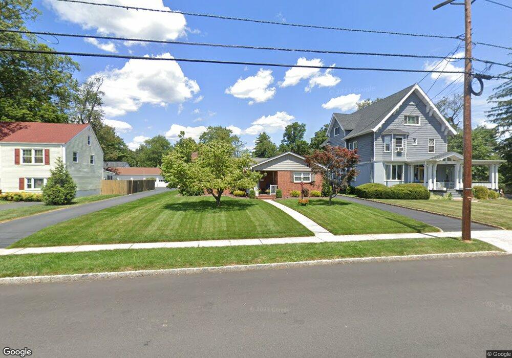
217 W Maple Ave Bound Brook, NJ 08805
Estimated Value: $490,000 - $559,000
--
Bed
--
Bath
1,596
Sq Ft
$330/Sq Ft
Est. Value
About This Home
This home is located at 217 W Maple Ave, Bound Brook, NJ 08805 and is currently estimated at $525,962, approximately $329 per square foot. 217 W Maple Ave is a home located in Somerset County with nearby schools including LaMonte Annex Elementary School, Lafayette Elementary School, and Bound Brook High School.
Ownership History
Date
Name
Owned For
Owner Type
Purchase Details
Closed on
Apr 25, 1995
Sold by
Chansky Susan
Bought by
Dietrich Richard and Dietrich Lorraine
Current Estimated Value
Home Financials for this Owner
Home Financials are based on the most recent Mortgage that was taken out on this home.
Original Mortgage
$75,000
Interest Rate
8.33%
Purchase Details
Closed on
Mar 29, 1989
Sold by
Oliver Tony and Oliver Marie
Bought by
Chansky Ronald and Chansky Suzanne
Create a Home Valuation Report for This Property
The Home Valuation Report is an in-depth analysis detailing your home's value as well as a comparison with similar homes in the area
Home Values in the Area
Average Home Value in this Area
Purchase History
| Date | Buyer | Sale Price | Title Company |
|---|---|---|---|
| Dietrich Richard | $173,000 | -- | |
| Chansky Ronald | $185,000 | -- |
Source: Public Records
Mortgage History
| Date | Status | Borrower | Loan Amount |
|---|---|---|---|
| Closed | Dietrich Richard | $75,000 |
Source: Public Records
Tax History Compared to Growth
Tax History
| Year | Tax Paid | Tax Assessment Tax Assessment Total Assessment is a certain percentage of the fair market value that is determined by local assessors to be the total taxable value of land and additions on the property. | Land | Improvement |
|---|---|---|---|---|
| 2025 | $9,369 | $436,800 | $222,300 | $214,500 |
| 2024 | $9,369 | $412,900 | $204,300 | $208,600 |
| 2023 | $8,984 | $381,000 | $177,300 | $203,700 |
| 2022 | $8,897 | $357,600 | $163,800 | $193,800 |
| 2021 | $8,309 | $327,400 | $150,300 | $177,100 |
| 2020 | $8,758 | $283,700 | $123,300 | $160,400 |
| 2019 | $8,309 | $256,700 | $96,300 | $160,400 |
| 2018 | $9,685 | $290,500 | $96,300 | $194,200 |
| 2017 | $8,452 | $247,800 | $87,300 | $160,500 |
| 2016 | $9,129 | $269,600 | $73,800 | $195,800 |
| 2015 | $8,900 | $268,800 | $96,300 | $172,500 |
| 2014 | $9,214 | $268,800 | $96,300 | $172,500 |
Source: Public Records
Map
Nearby Homes
- 520 Winsor St
- 307 W Union Ave
- 563 Winsor St
- 102 W Franklin St
- 130 W High St Unit 132
- 126 W High St
- 14 E Maple Ave
- 320 Church St
- 606 Vosseller Ave
- 650 Central Ave
- 617 Vosseller Ave
- 112 E Union Ave
- 112-114 E Union Ave
- 40 van Keuren Ave Unit 42
- 34 van Keuren Ave Unit 38
- 143 Vosseller Ave
- 745 Schoolhouse Ln
- 180 Farm Ln
- 2 Drake St
- 601 Thompson Ave
- 215 W Maple Ave
- 219 W Maple Ave
- 221 W Maple Ave
- 223 W Maple Ave
- 151 W Maple Ave
- 204 W Maple Ave
- 225 W Maple Ave
- 225 W Maple Ave
- 206 W Maple Ave
- 208 W Maple Ave
- 152 W Maple Ave
- 135 W Maple Ave
- 210 W Maple Ave
- 214 W Maple Ave
- 133 W Maple Ave
- 227 W Maple Ave
- 148 W Maple Ave
- 210 Cherry Ave
- 425 Livingston St
- 150 Cherry Ave