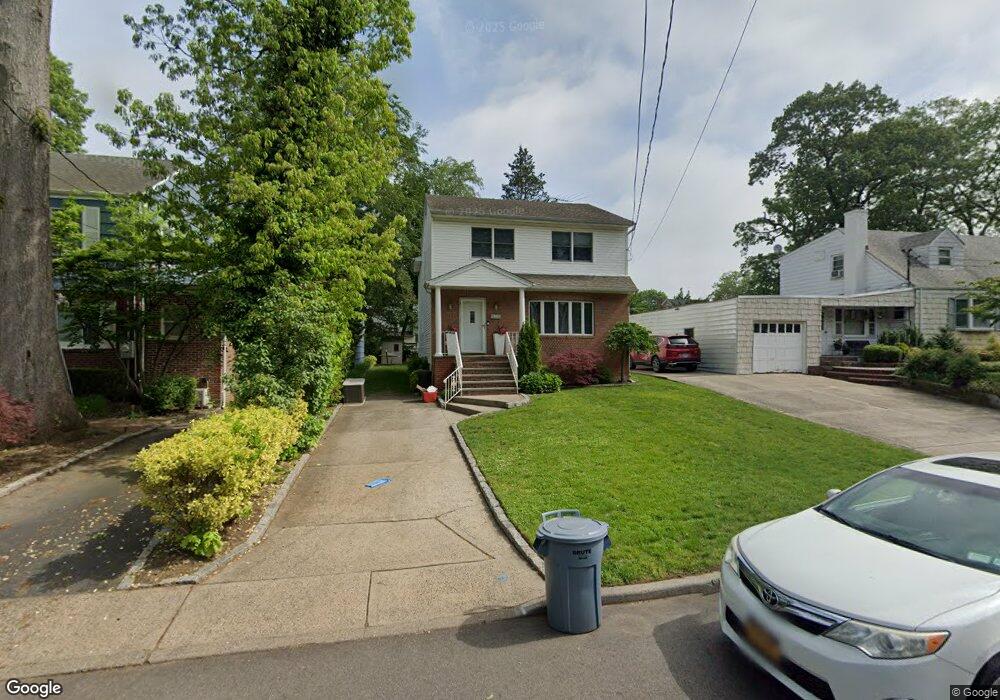
217 Walker Place West Hempstead, NY 11552
Estimated Value: $853,025 - $878,000
--
Bed
3
Baths
2,200
Sq Ft
$393/Sq Ft
Est. Value
About This Home
This home is located at 217 Walker Place, West Hempstead, NY 11552 and is currently estimated at $865,513, approximately $393 per square foot. 217 Walker Place is a home located in Nassau County with nearby schools including Chestnut Street School, West Hempstead Secondary School, and Hebrew Academy of Nassau County (HANC).
Ownership History
Date
Name
Owned For
Owner Type
Purchase Details
Closed on
Jul 30, 1996
Sold by
Asfour Construction Corp
Bought by
Listman Michael and Listman Orli
Current Estimated Value
Home Financials for this Owner
Home Financials are based on the most recent Mortgage that was taken out on this home.
Original Mortgage
$166,900
Outstanding Balance
$13,228
Interest Rate
8.24%
Estimated Equity
$852,285
Purchase Details
Closed on
Jun 17, 1994
Sold by
Spellman John Ref and Citibank N A
Bought by
Citibank N A and Oci Mtge Corp
Create a Home Valuation Report for This Property
The Home Valuation Report is an in-depth analysis detailing your home's value as well as a comparison with similar homes in the area
Home Values in the Area
Average Home Value in this Area
Purchase History
| Date | Buyer | Sale Price | Title Company |
|---|---|---|---|
| Listman Michael | $280,000 | -- | |
| Citibank N A | $153,679 | -- |
Source: Public Records
Mortgage History
| Date | Status | Borrower | Loan Amount |
|---|---|---|---|
| Open | Listman Michael | $166,900 |
Source: Public Records
Tax History Compared to Growth
Tax History
| Year | Tax Paid | Tax Assessment Tax Assessment Total Assessment is a certain percentage of the fair market value that is determined by local assessors to be the total taxable value of land and additions on the property. | Land | Improvement |
|---|---|---|---|---|
| 2025 | $16,505 | $579 | $201 | $378 |
| 2024 | $4,677 | $564 | $195 | $369 |
| 2023 | $13,483 | $610 | $211 | $399 |
| 2022 | $13,483 | $690 | $239 | $451 |
| 2021 | $19,429 | $716 | $236 | $480 |
| 2020 | $14,318 | $728 | $585 | $143 |
| 2019 | $13,380 | $780 | $588 | $192 |
| 2018 | $12,193 | $832 | $0 | $0 |
| 2017 | $8,040 | $884 | $463 | $421 |
| 2016 | $12,455 | $936 | $490 | $446 |
| 2015 | $5,579 | $1,198 | $627 | $571 |
| 2014 | $5,579 | $1,198 | $627 | $571 |
| 2013 | $5,224 | $1,198 | $627 | $571 |
Source: Public Records
Map
Nearby Homes
- 635 Hempstead Ave
- 686 Tanwood Dr
- 613 Adams Ave
- 590 Langley Ave
- 518 Nassau Blvd
- 321 Oakford St
- 537 Madison Ave
- 757 Harrison St
- 582 Gaynor Place
- 467 Susan Ct
- 350 Paul Place
- 303 Nassau Blvd
- 19 Richard St
- 513 Washington Ave
- 853 Arthur St
- 576 Western Park Dr
- 218 Colony St
- 899 Cleveland St
- 352 Hempstead Ave
- 474 Roy St