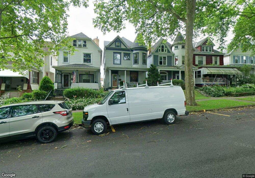
217 Washington Ave Vandergrift, PA 15690
Estimated Value: $47,535 - $189,000
Studio
--
Bath
--
Sq Ft
3,615
Sq Ft Lot
About This Home
This home is located at 217 Washington Ave, Vandergrift, PA 15690 and is currently estimated at $125,134. 217 Washington Ave is a home located in Westmoreland County with nearby schools including Kiski Area High School.
Ownership History
Date
Name
Owned For
Owner Type
Purchase Details
Closed on
Apr 30, 2003
Sold by
Kasuba John Andrew
Bought by
Siverling Linda S
Current Estimated Value
Home Financials for this Owner
Home Financials are based on the most recent Mortgage that was taken out on this home.
Original Mortgage
$65,075
Outstanding Balance
$26,856
Interest Rate
5.82%
Mortgage Type
Purchase Money Mortgage
Estimated Equity
$98,278
Create a Home Valuation Report for This Property
The Home Valuation Report is an in-depth analysis detailing your home's value as well as a comparison with similar homes in the area
Home Values in the Area
Average Home Value in this Area
Purchase History
| Date | Buyer | Sale Price | Title Company |
|---|---|---|---|
| Siverling Linda S | $68,500 | -- |
Source: Public Records
Mortgage History
| Date | Status | Borrower | Loan Amount |
|---|---|---|---|
| Open | Siverling Linda S | $65,075 |
Source: Public Records
Tax History
| Year | Tax Paid | Tax Assessment Tax Assessment Total Assessment is a certain percentage of the fair market value that is determined by local assessors to be the total taxable value of land and additions on the property. | Land | Improvement |
|---|---|---|---|---|
| 2026 | $2,313 | $13,830 | $2,610 | $11,220 |
| 2025 | $2,257 | $13,830 | $2,610 | $11,220 |
| 2024 | $2,149 | $13,830 | $2,610 | $11,220 |
| 2023 | $1,979 | $13,830 | $2,610 | $11,220 |
| 2022 | $1,937 | $13,830 | $2,610 | $11,220 |
| 2021 | $1,938 | $13,830 | $2,610 | $11,220 |
| 2020 | $1,933 | $13,830 | $2,610 | $11,220 |
| 2019 | $1,926 | $13,830 | $2,610 | $11,220 |
| 2018 | $1,898 | $13,830 | $2,610 | $11,220 |
| 2017 | $1,857 | $13,830 | $2,610 | $11,220 |
| 2016 | $1,832 | $13,830 | $2,610 | $11,220 |
| 2015 | $1,832 | $13,830 | $2,610 | $11,220 |
| 2014 | $1,823 | $13,830 | $2,610 | $11,220 |
Source: Public Records
Map
Nearby Homes
- 166 Grant Ave
- 219 Quay St
- 109 Washington Ave
- 419 Vandergrift Ln
- 225 Mckinley Ave
- 250 Kennedy Ave
- 112 Farragut Ave Unit 3
- 137 Sherman Ave
- 133 Sherman Ave
- 247 Sherman Ave
- 608 Kennedy Ave
- 510 Franklin Ave
- 322 Chestnut St
- 311 Elm St
- 1252 Jefferson St
- 802 Mckinley Ave
- 324 Beech St
- 1116 Grant St
- 325 Walnut St
- 300 Longfellow St
- 215 Washington Ave
- 219 Washington Ave
- 213 Washington Ave
- 211 Washington Ave
- 221 Washington Ave
- 223 Washington Ave
- 209 Washington Ave
- 225 Washington Ave
- 207 Washington Ave Unit 11
- 184 Grant Ave
- 186 Grant Ave Unit BLK11
- 182 Grant Ave
- 180 Grant Ave
- 203 Washington Ave
- 178 Grant Ave
- 176 Grant Ave
- 188 Grant Ave
- 184 Grant Ave
- 174 Grant Ave
- 204 Washington Ave
Your Personal Tour Guide
Ask me questions while you tour the home.