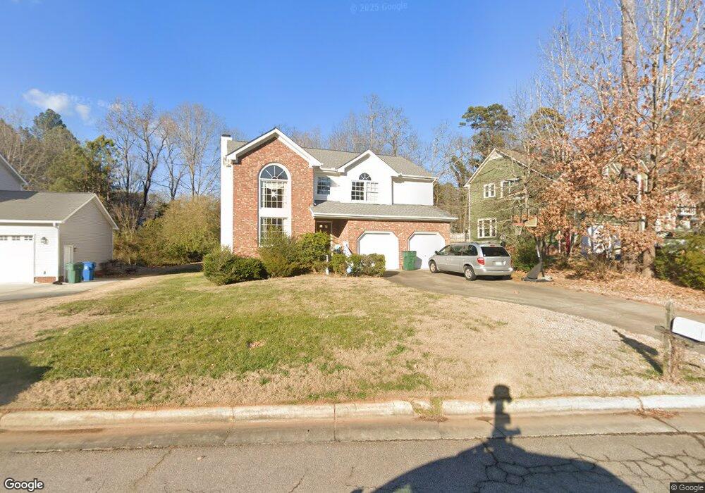
217 Wenonah Way Durham, NC 27713
Estimated Value: $370,000 - $546,847
3
Beds
3
Baths
1,092
Sq Ft
$452/Sq Ft
Est. Value
About This Home
This home is located at 217 Wenonah Way, Durham, NC 27713 and is currently estimated at $493,712, approximately $452 per square foot. 217 Wenonah Way is a home located in Durham County with nearby schools including Parkwood Elementary, Lowe's Grove Middle, and Hillside High School.
Ownership History
Date
Name
Owned For
Owner Type
Purchase Details
Closed on
Apr 28, 1998
Sold by
Dave Servoss Homes Inc
Bought by
Mccoy Richard G and Mccoy Roberta J
Current Estimated Value
Home Financials for this Owner
Home Financials are based on the most recent Mortgage that was taken out on this home.
Original Mortgage
$24,800
Outstanding Balance
$4,846
Interest Rate
7.1%
Mortgage Type
Purchase Money Mortgage
Estimated Equity
$488,866
Create a Home Valuation Report for This Property
The Home Valuation Report is an in-depth analysis detailing your home's value as well as a comparison with similar homes in the area
Home Values in the Area
Average Home Value in this Area
Purchase History
| Date | Buyer | Sale Price | Title Company |
|---|---|---|---|
| Mccoy Richard G | $31,000 | -- |
Source: Public Records
Mortgage History
| Date | Status | Borrower | Loan Amount |
|---|---|---|---|
| Open | Mccoy Richard G | $24,800 |
Source: Public Records
Tax History Compared to Growth
Tax History
| Year | Tax Paid | Tax Assessment Tax Assessment Total Assessment is a certain percentage of the fair market value that is determined by local assessors to be the total taxable value of land and additions on the property. | Land | Improvement |
|---|---|---|---|---|
| 2025 | $5,050 | $509,409 | $138,675 | $370,734 |
| 2024 | $4,221 | $302,593 | $57,960 | $244,633 |
| 2023 | $3,964 | $302,593 | $57,960 | $244,633 |
| 2022 | $3,873 | $302,593 | $57,960 | $244,633 |
| 2021 | $3,855 | $302,593 | $57,960 | $244,633 |
| 2020 | $3,764 | $302,593 | $57,960 | $244,633 |
| 2019 | $3,764 | $302,593 | $57,960 | $244,633 |
| 2018 | $3,570 | $263,156 | $38,640 | $224,516 |
| 2017 | $3,543 | $263,156 | $38,640 | $224,516 |
| 2016 | $3,424 | $263,156 | $38,640 | $224,516 |
| 2015 | $3,217 | $232,416 | $38,725 | $193,691 |
| 2014 | $3,217 | $232,416 | $38,725 | $193,691 |
Source: Public Records
Map
Nearby Homes
- 1304 Seaton Rd Unit 1
- 1304 Seaton Rd Unit 24
- 1227 Seaton Rd Unit 54
- 1109 Seaton Rd
- 1621 Clermont Rd
- 5320 Newhall Rd
- 5 Huckleberry Ct
- 1021 Park Glen Place
- 5504 Pelham Rd
- 5100 Mccormick Rd
- 6353 Grandale Dr
- 1728 Euclid Rd
- 115 Lattimore Ln
- 1445 Sedwick Rd
- 9 Monteith Ct
- 205 Landreth Ct
- 7409 Chesley Ln
- 104 Deblyn Ct
- 12 Haycox Ct
- 1203 Lotus Lilly Dr
- 219 Wenonah Way
- 215 Wenonah Way
- 221 Solo Cove
- 213 Wenonah Way
- 214 Wenonah Way
- 216 Wenonah Way
- 1304 Seaton Rd Unit 3
- 1304 Seaton Rd Unit 31
- 1304 Seaton Rd Unit 28
- 1304 Seaton Rd
- 1304 Seaton Rd Unit T-4
- 1304 Seaton Rd
- 1304 Seaton Rd
- 1304 Seaton Rd
- 1304 Seaton Rd
- 1304 Seaton Rd
- 1304 Seaton Rd
- 1304 Seaton Rd
- 1304 Seaton Rd
- 1304 Seaton Rd