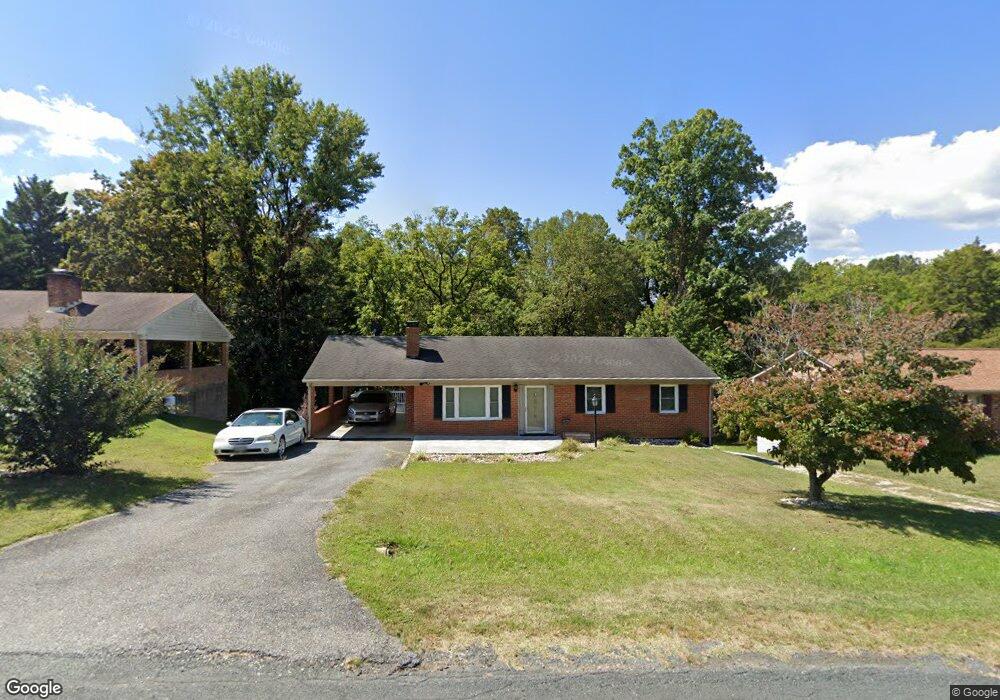
217 Westbriar Place Madison Heights, VA 24572
Estimated Value: $240,458 - $304,000
3
Beds
3
Baths
1,134
Sq Ft
$234/Sq Ft
Est. Value
About This Home
This home is located at 217 Westbriar Place, Madison Heights, VA 24572 and is currently estimated at $265,365, approximately $234 per square foot. 217 Westbriar Place is a home located in Amherst County with nearby schools including Elon Elementary School, Monelison Middle School, and Amherst County High School.
Ownership History
Date
Name
Owned For
Owner Type
Purchase Details
Closed on
Dec 11, 2008
Sold by
Franklin Courtney and Franklin Brenda W
Bought by
Franklin Brenda W
Current Estimated Value
Home Financials for this Owner
Home Financials are based on the most recent Mortgage that was taken out on this home.
Original Mortgage
$108,000
Interest Rate
6.5%
Mortgage Type
New Conventional
Create a Home Valuation Report for This Property
The Home Valuation Report is an in-depth analysis detailing your home's value as well as a comparison with similar homes in the area
Home Values in the Area
Average Home Value in this Area
Purchase History
| Date | Buyer | Sale Price | Title Company |
|---|---|---|---|
| Franklin Brenda W | -- | None Available |
Source: Public Records
Mortgage History
| Date | Status | Borrower | Loan Amount |
|---|---|---|---|
| Closed | Franklin Brenda W | $108,000 |
Source: Public Records
Tax History Compared to Growth
Tax History
| Year | Tax Paid | Tax Assessment Tax Assessment Total Assessment is a certain percentage of the fair market value that is determined by local assessors to be the total taxable value of land and additions on the property. | Land | Improvement |
|---|---|---|---|---|
| 2025 | $850 | $139,300 | $20,000 | $119,300 |
| 2024 | $850 | $139,300 | $20,000 | $119,300 |
| 2023 | $850 | $139,300 | $20,000 | $119,300 |
| 2022 | $850 | $139,300 | $20,000 | $119,300 |
| 2021 | $850 | $139,300 | $20,000 | $119,300 |
| 2020 | $850 | $139,300 | $20,000 | $119,300 |
| 2019 | $843 | $138,200 | $26,000 | $112,200 |
| 2018 | $843 | $138,200 | $26,000 | $112,200 |
| 2017 | $800 | $138,200 | $26,000 | $112,200 |
| 2016 | $843 | $138,200 | $26,000 | $112,200 |
| 2015 | $774 | $138,200 | $26,000 | $112,200 |
| 2014 | $774 | $138,200 | $26,000 | $112,200 |
Source: Public Records
Map
Nearby Homes
- 379 Winesap Rd
- 0 McIvor Ln
- 0 S Amherst Hwy Unit 362100
- 0 S Amherst Hwy Unit 360067
- 0 S Amherst Hwy Unit 336267
- 124-138 Cedar Gate Rd
- S Amherst Hwy
- 157 Old Country Rd
- 139 Grimes Dr
- 561 Oak Grove Dr
- 51 Patrick Ct
- 26 Dixie Airport Rd
- 621 Cedar Gate Rd
- 687 Elon Rd
- 272 Dixie Airport Rd
- 150 Glenwood Dr
- 115 Morgan Rd
- 327 Dixie Airport Rd
- 138 Magnolia Ln
- 1918 Elon Rd
- 225 Westbriar Place
- 213 Westbriar Place
- 205 Westbriar Place
- 229 Westbriar Place
- 222 Westbriar Place
- 216 Westbriar Place
- 201 Westbriar Place
- 210 Westbriar Place
- 231 Westbriar Place
- 226 Westbriar Place
- 204 Westbriar Place
- 228 Westbriar Place
- 230 Westbriar Place
- 191 Westbriar Place
- 202 Westbriar Place
- 194 Westbriar Place
- 185 Westbriar Place
- 250 Mountainview Dr
- 182 Westbriar Place
- 0 Mountainview Dr