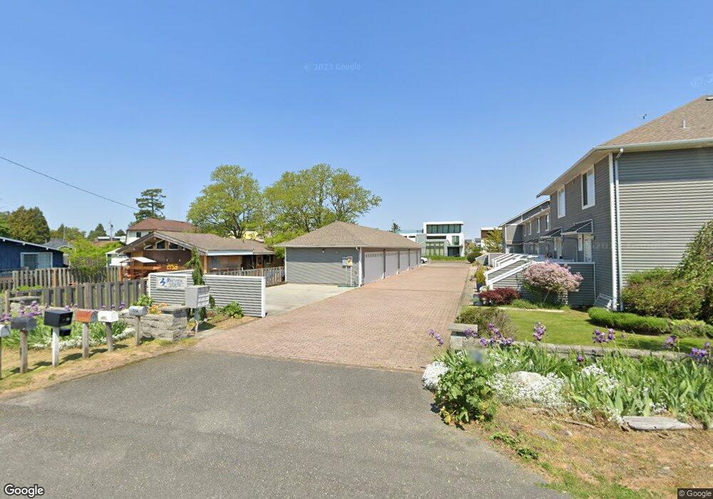
2170 Alder St Unit N2 Point Roberts, WA 98281
Estimated Value: $397,000 - $585,000
2
Beds
2
Baths
1,120
Sq Ft
$419/Sq Ft
Est. Value
About This Home
This home is located at 2170 Alder St Unit N2, Point Roberts, WA 98281 and is currently estimated at $469,805, approximately $419 per square foot. 2170 Alder St Unit N2 is a home located in Whatcom County with nearby schools including Point Roberts Primary School, Blaine Middle School, and Blaine High School.
Ownership History
Date
Name
Owned For
Owner Type
Purchase Details
Closed on
Mar 22, 2004
Sold by
Gorham William and Gorham Jeannette L
Bought by
Hurt Adam Craig
Current Estimated Value
Home Financials for this Owner
Home Financials are based on the most recent Mortgage that was taken out on this home.
Original Mortgage
$110,000
Outstanding Balance
$47,605
Interest Rate
4.62%
Mortgage Type
Purchase Money Mortgage
Estimated Equity
$422,200
Purchase Details
Closed on
Sep 15, 2001
Sold by
Munro Mary E
Bought by
Gorham William and Gorham Jeanette L
Create a Home Valuation Report for This Property
The Home Valuation Report is an in-depth analysis detailing your home's value as well as a comparison with similar homes in the area
Home Values in the Area
Average Home Value in this Area
Purchase History
| Date | Buyer | Sale Price | Title Company |
|---|---|---|---|
| Hurt Adam Craig | -- | Whatcom Land Title | |
| Gorham William | -- | Chicago Title Insurance |
Source: Public Records
Mortgage History
| Date | Status | Borrower | Loan Amount |
|---|---|---|---|
| Open | Hurt Adam Craig | $110,000 |
Source: Public Records
Tax History Compared to Growth
Tax History
| Year | Tax Paid | Tax Assessment Tax Assessment Total Assessment is a certain percentage of the fair market value that is determined by local assessors to be the total taxable value of land and additions on the property. | Land | Improvement |
|---|---|---|---|---|
| 2024 | $3,170 | $429,088 | $145,475 | $283,613 |
| 2023 | $3,170 | $415,863 | $132,250 | $283,613 |
| 2022 | $2,156 | $361,620 | $115,000 | $246,620 |
| 2021 | $2,441 | $235,411 | $100,380 | $135,031 |
| 2020 | $2,326 | $247,794 | $105,660 | $142,134 |
| 2019 | $2,143 | $228,376 | $97,380 | $130,996 |
| 2018 | $2,090 | $205,510 | $87,630 | $117,880 |
| 2017 | $1,775 | $182,926 | $78,000 | $104,926 |
| 2016 | $1,826 | $175,890 | $75,000 | $100,890 |
| 2015 | $1,859 | $175,890 | $75,000 | $100,890 |
| 2014 | -- | $175,890 | $75,000 | $100,890 |
| 2013 | -- | $175,890 | $75,000 | $100,890 |
Source: Public Records
Map
Nearby Homes
- 2132 Maple St
- 2145 Fir St
- 103 Goodman Rd
- 0 3 73 Acres Derby Ave
- 215 Bay View Dr
- 251 Elizabeth Dr
- 2136 Culp Ct
- 1931 Sanders Ct Unit 11
- 302 Boundary Bay Rd
- Lot 35 Boundary Bay Rd
- 4 Boundary Bay Rd
- 1871 Johnson Rd
- 1852 Washington Dr
- 0 X Weasel Run
- 412 High Bluff Dr
- 0 Lot 7 Weasel Run Rd
- 2 Mill Rd
- 308 Mill Rd
- 1 Mill Rd
- 500 Moose Trail
- 2170 Alder St Unit 9
- 2170 Alder St Unit N9
- 2170 Alder St Unit N8
- 2170 Alder St Unit N7
- 2170 Alder St Unit N6
- 2170 Alder St Unit N5
- 2170 Alder St Unit N4
- 2170 Alder St Unit N3
- 2170 Alder St Unit N1
- 2170 Alder St Unit 3
- 2158 Alder St
- 2151 Roosevelt Way
- 2152 Alder St
- 43 Bay View Dr
- 2147 Roosevelt Way
- 2148 Alder St
- 2151 Alder St
- 2147 Alder St
- 2144 Alder St
- 2143 Roosevelt Way