Estimated Value: $391,000
2
Beds
1
Bath
780
Sq Ft
$501/Sq Ft
Est. Value
About This Home
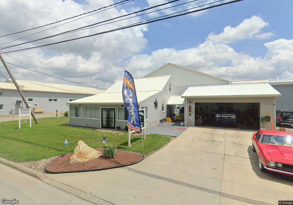
This home is located at 2170 State Route 39 NW, Dover, OH 44622 and is currently priced at $391,000, approximately $501 per square foot. 2170 State Route 39 NW is a home located in Tuscarawas County with nearby schools including Dover High School, Tuscarawas Central Catholic Elementary School, and Tuscarawas Central Catholic Junior/Senior High School.
Ownership History
Date
Name
Owned For
Owner Type
Purchase Details
Closed on
Jun 30, 2003
Sold by
Spring Gloria A
Bought by
Wayne Real Estate Co Ltd
Current Estimated Value
Purchase Details
Closed on
Jul 1, 1997
Sold by
Amistadi Gino
Bought by
Spring Gloria A
Purchase Details
Closed on
Aug 7, 1992
Sold by
Rothacher Dorothy M
Bought by
Amistadi Gino and Amistadi Mary J
Purchase Details
Closed on
May 3, 1989
Bought by
Wayne Real Estate Company Ltd
Create a Home Valuation Report for This Property
The Home Valuation Report is an in-depth analysis detailing your home's value as well as a comparison with similar homes in the area
Home Values in the Area
Average Home Value in this Area
Purchase History
| Date | Buyer | Sale Price | Title Company |
|---|---|---|---|
| Wayne Real Estate Co Ltd | $160,000 | -- | |
| Spring Gloria A | $112,000 | -- | |
| Amistadi Gino | $40,000 | -- | |
| Wayne Real Estate Company Ltd | -- | -- |
Source: Public Records
Tax History Compared to Growth
Tax History
| Year | Tax Paid | Tax Assessment Tax Assessment Total Assessment is a certain percentage of the fair market value that is determined by local assessors to be the total taxable value of land and additions on the property. | Land | Improvement |
|---|---|---|---|---|
| 2024 | $7,140 | $136,970 | $10,650 | $126,320 |
| 2023 | $7,140 | $391,320 | $30,420 | $360,900 |
| 2022 | $7,257 | $136,962 | $10,647 | $126,315 |
| 2021 | $7,782 | $132,374 | $8,985 | $123,389 |
| 2020 | $7,795 | $132,374 | $8,985 | $123,389 |
| 2019 | $7,842 | $132,374 | $8,985 | $123,389 |
| 2018 | $8,034 | $132,370 | $8,980 | $123,390 |
| 2017 | $8,053 | $132,370 | $8,980 | $123,390 |
| 2016 | $8,061 | $132,370 | $8,980 | $123,390 |
| 2014 | $8,366 | $137,230 | $8,320 | $128,910 |
| 2013 | $8,336 | $137,230 | $8,320 | $128,910 |
Source: Public Records
Map
Nearby Homes
- 2180 Kimberley Dr NW
- 500 W 13th St
- 159 Charles Dr
- 1411 Chestnut St
- 1319 N Walnut St
- 0000 Red Hill Rd NW
- 3030 N Wooster Ave
- 227 E Slingluff Ave
- 306 E 15th St
- 0 Bair Rd NW Unit 5124469
- 0 Bair Rd NW Unit 5124477
- 0 Bair Rd NW Unit 5124464
- 0 Bair Rd NW Unit 5124485
- 0 Bair Rd NW Unit 5124339
- 0 Bair Rd NW Unit 5124397
- 0 Bair Rd NW Unit 5124402
- 0 Bair Rd NW Unit 5124415
- 0 Bair Rd NW Unit 5124421
- 450 E 5th St
- 442 E 4th St
- 2184 State Route 39 NW
- 2150 Ohio 39
- 2226 Donald St
- 2161 State Route 39 NW
- 2120 Ohio 39
- 2198 Donald St
- 2213 State Route 39 NW
- 2391 Circleview Dr NW
- 2158 Donald St
- 3361 Circleview Dr NW
- 3326 Circleview Dr NW
- 2024 State Route 39 NW
- 2135 State Route 39 NW
- 3183 Reese Rd NW
- 3272 Circleview Dr NW
- 0 Ohio 516 Unit 4473365
- 3 Ohio 516
- 4 Ohio 516
- 1 Ohio 516
- 5 Ohio 516