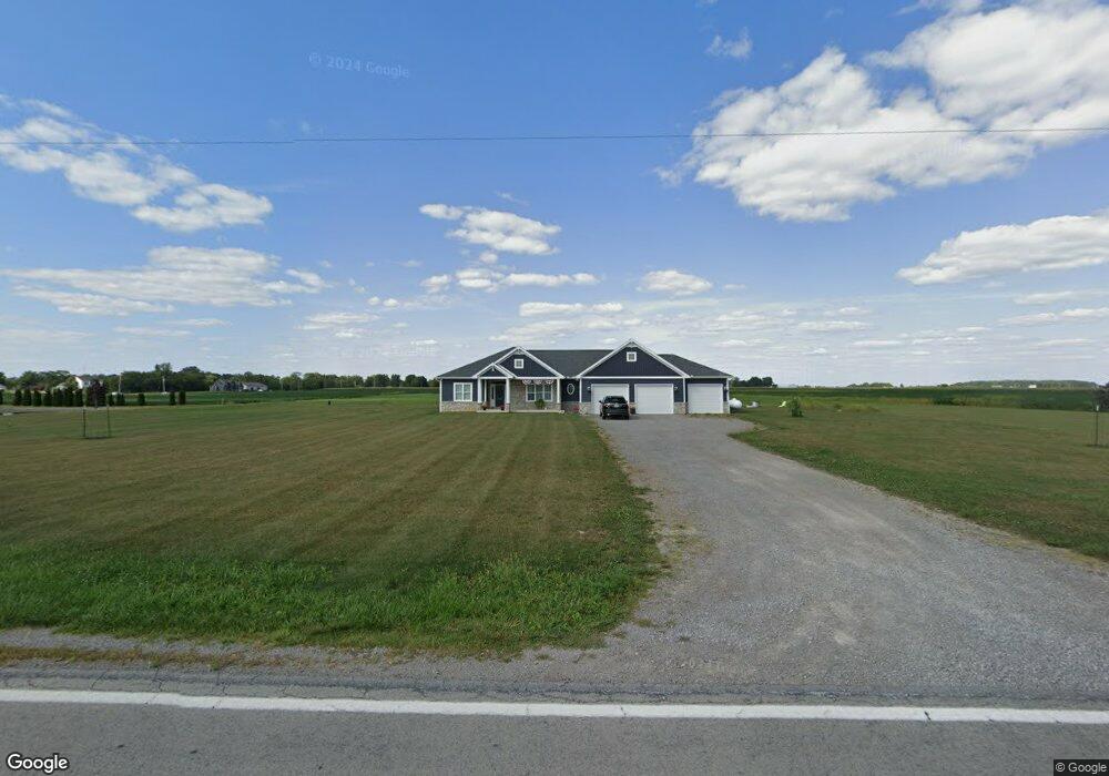
21700 State Route 189 Fort Jennings, OH 45844
Estimated Value: $372,000 - $452,000
3
Beds
3
Baths
2,304
Sq Ft
$179/Sq Ft
Est. Value
About This Home
This home is located at 21700 State Route 189, Fort Jennings, OH 45844 and is currently estimated at $412,000, approximately $178 per square foot. 21700 State Route 189 is a home with nearby schools including Fort Jennings Elementary School and Fort Jennings High School.
Create a Home Valuation Report for This Property
The Home Valuation Report is an in-depth analysis detailing your home's value as well as a comparison with similar homes in the area
Home Values in the Area
Average Home Value in this Area
Tax History Compared to Growth
Tax History
| Year | Tax Paid | Tax Assessment Tax Assessment Total Assessment is a certain percentage of the fair market value that is determined by local assessors to be the total taxable value of land and additions on the property. | Land | Improvement |
|---|---|---|---|---|
| 2024 | $4,067 | $139,860 | $12,400 | $127,460 |
| 2023 | $4,205 | $127,390 | $8,060 | $119,330 |
| 2022 | $4,223 | $139,860 | $20,531 | $119,329 |
| 2021 | $3,260 | $97,560 | $8,060 | $89,500 |
Source: Public Records
Map
Nearby Homes
- 22345 Road T
- 0 Heritage Cir Unit 6112034
- 0 Heritage Cir Unit 303239
- 7510 State Route 66
- 106 Sunset Dr
- 20501 U S 224
- 804 N Moening St
- 650 E 6th St
- 914 E 3rd St
- 810 N Franklin St
- 1035 N Main St
- 821 E 3rd St
- 628 N Pierce St
- 704 N Franklin St
- 7110 Elida Rd
- 6585 Huffer Rd
- 633 E 2nd St
- 405 N Franklin St
- 210 E 3rd St
- 702 Jackson St
- 21746 State Route 189
- 21847 State Route 189
- 21679 State Route 189
- 19369 Road 20p
- 21571 State Route 189
- 19338 Road 20p
- 21545 State Route 189
- 21896 State Route 189
- 19248 Road 20p
- 19431 Road 22
- 21525 State Route 189
- 19315 Road 22
- 19481 Road 22
- 19290 Road 20p
- 21942 State Route 189
- 19523 Road 22
- 19430 Road 22
- 19174 Road 20p
- 19472 Road 22
- 19585 Road 22