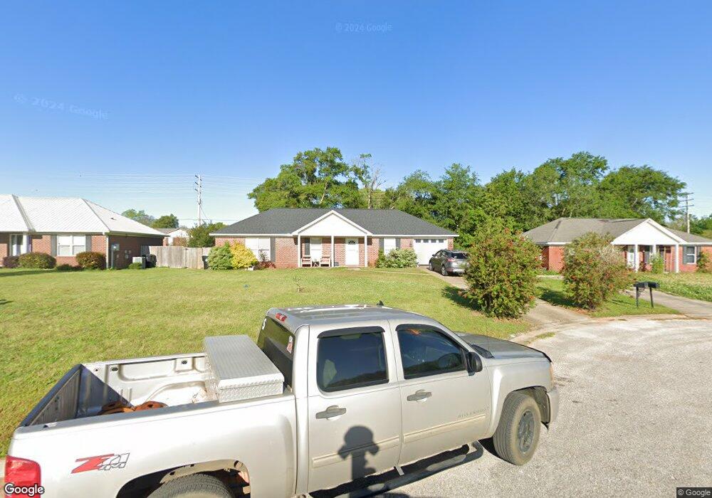
21703 Shadowbrook St Robertsdale, AL 36567
Estimated Value: $225,815 - $250,000
3
Beds
2
Baths
1,225
Sq Ft
$196/Sq Ft
Est. Value
About This Home
This home is located at 21703 Shadowbrook St, Robertsdale, AL 36567 and is currently estimated at $240,204, approximately $196 per square foot. 21703 Shadowbrook St is a home located in Baldwin County with nearby schools including Robertsdale Elementary School, Central Baldwin Middle School, and Robertsdale High School.
Ownership History
Date
Name
Owned For
Owner Type
Purchase Details
Closed on
Aug 24, 2006
Sold by
Benchmark Homes Inc
Bought by
Buford Henry Jason and Buford Brandy Marie
Current Estimated Value
Home Financials for this Owner
Home Financials are based on the most recent Mortgage that was taken out on this home.
Original Mortgage
$127,000
Outstanding Balance
$76,124
Interest Rate
6.73%
Mortgage Type
Purchase Money Mortgage
Estimated Equity
$164,080
Purchase Details
Closed on
Mar 25, 2006
Sold by
Crossroads Llc
Bought by
Benchmark Homes Inc
Home Financials for this Owner
Home Financials are based on the most recent Mortgage that was taken out on this home.
Original Mortgage
$104,000
Interest Rate
6.31%
Mortgage Type
Purchase Money Mortgage
Create a Home Valuation Report for This Property
The Home Valuation Report is an in-depth analysis detailing your home's value as well as a comparison with similar homes in the area
Home Values in the Area
Average Home Value in this Area
Purchase History
| Date | Buyer | Sale Price | Title Company |
|---|---|---|---|
| Buford Henry Jason | -- | None Available | |
| Benchmark Homes Inc | -- | Btd |
Source: Public Records
Mortgage History
| Date | Status | Borrower | Loan Amount |
|---|---|---|---|
| Open | Buford Henry Jason | $127,000 | |
| Previous Owner | Benchmark Homes Inc | $104,000 |
Source: Public Records
Tax History Compared to Growth
Tax History
| Year | Tax Paid | Tax Assessment Tax Assessment Total Assessment is a certain percentage of the fair market value that is determined by local assessors to be the total taxable value of land and additions on the property. | Land | Improvement |
|---|---|---|---|---|
| 2024 | $608 | $18,140 | $2,760 | $15,380 |
| 2023 | $583 | $17,440 | $3,260 | $14,180 |
| 2022 | $499 | $15,120 | $0 | $0 |
| 2021 | $402 | $13,300 | $0 | $0 |
| 2020 | $377 | $12,780 | $0 | $0 |
| 2019 | $357 | $12,180 | $0 | $0 |
| 2018 | $335 | $11,520 | $0 | $0 |
| 2017 | $307 | $10,680 | $0 | $0 |
| 2016 | $297 | $10,360 | $0 | $0 |
| 2015 | $289 | $10,120 | $0 | $0 |
| 2014 | $274 | $9,660 | $0 | $0 |
| 2013 | -- | $8,940 | $0 | $0 |
Source: Public Records
Map
Nearby Homes
- 21580 Talbot Ln
- 18952 E Silverhill Ave
- 804 Cee Bee St Unit 15
- 435 Cee Bee St Unit 14
- 0 County Road 83 Unit 376330
- 22081 Pearson St
- 18882 Georgia St
- 19335 Oak Hillcrest Dr
- 18914 Florida St
- 18975 Florida St
- 18260 Memphis Way
- 21630 Palmer Ct
- 22095 Buck Rd
- 21600 Palmer Ct
- 19310 County Road 48
- 22248 Fairway Dr
- 0 W Hammond St Unit 13, 14, 15 373473
- 22754 Circle Dr
- 2000 Plan at Forest Park
- 1348 Plan at Forest Park
- 21689 Shadowbrook St
- 21677 Shadowbrook St
- 21713 College Ave
- 21695 College Ave
- 21700 Shadowbrook St
- 21685 College Ave
- 21725 College Ave
- 21688 Shadowbrook St
- 21665 Shadowbrook St
- 21676 Shadowbrook St
- 21737 College Ave
- 21673 College Ave
- 18960 Kelsey Dr
- 18927 Dalewood Cir
- 18929 Dalewood Cir
- 21662 Shadowbrook St
- 18925 Dalewood Cir
- 18931 Dalewood Cir
- 21655 Shadowbrook St
- 18913 Dalewood Cir