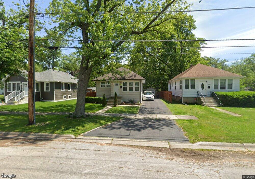
21707 Locust St Matteson, IL 60443
Old Matteson NeighborhoodEstimated Value: $171,000 - $208,000
3
Beds
1
Bath
1,092
Sq Ft
$169/Sq Ft
Est. Value
About This Home
This home is located at 21707 Locust St, Matteson, IL 60443 and is currently estimated at $184,750, approximately $169 per square foot. 21707 Locust St is a home located in Cook County with nearby schools including Illinois School, Matteson Elementary School, and Sauk Elementary School.
Ownership History
Date
Name
Owned For
Owner Type
Purchase Details
Closed on
Sep 12, 2011
Sold by
Federal National Mortgage Association
Bought by
Valencia Maria
Current Estimated Value
Home Financials for this Owner
Home Financials are based on the most recent Mortgage that was taken out on this home.
Original Mortgage
$77,972
Outstanding Balance
$53,423
Interest Rate
4.5%
Mortgage Type
FHA
Estimated Equity
$131,327
Purchase Details
Closed on
Apr 29, 2011
Sold by
Rath Bryan E
Bought by
Federal National Mortgage Association
Create a Home Valuation Report for This Property
The Home Valuation Report is an in-depth analysis detailing your home's value as well as a comparison with similar homes in the area
Home Values in the Area
Average Home Value in this Area
Purchase History
| Date | Buyer | Sale Price | Title Company |
|---|---|---|---|
| Valencia Maria | $80,000 | Attorneys Title Guaranty Fun | |
| Federal National Mortgage Association | -- | None Available |
Source: Public Records
Mortgage History
| Date | Status | Borrower | Loan Amount |
|---|---|---|---|
| Open | Valencia Maria | $77,972 |
Source: Public Records
Tax History
| Year | Tax Paid | Tax Assessment Tax Assessment Total Assessment is a certain percentage of the fair market value that is determined by local assessors to be the total taxable value of land and additions on the property. | Land | Improvement |
|---|---|---|---|---|
| 2025 | $3,176 | $11,000 | $3,000 | $8,000 |
| 2024 | $3,176 | $11,000 | $3,000 | $8,000 |
| 2023 | $1,990 | $11,000 | $3,000 | $8,000 |
| 2022 | $1,990 | $7,089 | $2,625 | $4,464 |
| 2021 | $2,067 | $7,089 | $2,625 | $4,464 |
| 2020 | $2,031 | $7,089 | $2,625 | $4,464 |
| 2019 | $2,222 | $7,723 | $2,437 | $5,286 |
| 2018 | $2,219 | $7,723 | $2,437 | $5,286 |
| 2017 | $2,160 | $7,723 | $2,437 | $5,286 |
| 2016 | $2,395 | $7,368 | $2,250 | $5,118 |
| 2015 | $2,313 | $7,368 | $2,250 | $5,118 |
| 2014 | $2,266 | $7,368 | $2,250 | $5,118 |
| 2013 | $2,407 | $8,206 | $2,250 | $5,956 |
Source: Public Records
Map
Nearby Homes
- 3704 215th St Unit 105
- 3704 215th St Unit 205
- 3727 214th Place Unit 2
- 3809 215th St
- 3704 Linden Rd
- 3435 218th Place
- 21945 Millard Ave
- 21635 Dogwood Rd Unit 1165
- 338 Waldmann Dr
- 21617 Dogwood Rd Unit 1125
- 4028 Appleby Ln
- 3844 214th Place
- 409 Winnemac St
- 5013 Euclid Ln
- 21406 S Jean Ave
- 356 Winnebago St
- 3919 214th St
- 21616 Richmond Rd
- 109 Walnut St
- 4052 Charleston Rd
- 21703 Locust St
- 21711 Locust St
- 3623 217th St
- 21715 Locust St
- 3703 217th St
- 3636 217th St
- 3628 217th St
- 3620 217th St
- 3620 217th St
- 3711 217th St
- 3704 217th St
- 3708 217th St
- 3715 217th St Unit 2
- 3715 217th St
- 3631 216th Place
- 3716 217th St
- 3716 217th St
- 3623 216th Place
- 3619 216th Place
- 3615 216th Place