2171 Foxhole Rd Point Roberts, WA 98281
Estimated Value: $340,000 - $550,000
2
Beds
3
Baths
1,008
Sq Ft
$431/Sq Ft
Est. Value
About This Home
This home is located at 2171 Foxhole Rd, Point Roberts, WA 98281 and is currently estimated at $434,697, approximately $431 per square foot. 2171 Foxhole Rd is a home located in Whatcom County with nearby schools including Point Roberts Primary School, Blaine Middle School, and Blaine High School.
Ownership History
Date
Name
Owned For
Owner Type
Purchase Details
Closed on
Mar 10, 2006
Sold by
Fraser Marilyn R
Bought by
Boykiw Dina and Boykiwburberry Dina
Current Estimated Value
Home Financials for this Owner
Home Financials are based on the most recent Mortgage that was taken out on this home.
Original Mortgage
$131,320
Outstanding Balance
$75,091
Interest Rate
6.37%
Estimated Equity
$359,606
Create a Home Valuation Report for This Property
The Home Valuation Report is an in-depth analysis detailing your home's value as well as a comparison with similar homes in the area
Home Values in the Area
Average Home Value in this Area
Purchase History
| Date | Buyer | Sale Price | Title Company |
|---|---|---|---|
| Boykiw Dina | $468,640 | -- |
Source: Public Records
Mortgage History
| Date | Status | Borrower | Loan Amount |
|---|---|---|---|
| Open | Boykiw Dina | $131,320 | |
| Closed | Boykiw Dina | -- |
Source: Public Records
Tax History Compared to Growth
Tax History
| Year | Tax Paid | Tax Assessment Tax Assessment Total Assessment is a certain percentage of the fair market value that is determined by local assessors to be the total taxable value of land and additions on the property. | Land | Improvement |
|---|---|---|---|---|
| 2024 | $2,362 | $286,435 | $102,383 | $184,052 |
| 2023 | $2,362 | $277,127 | $93,075 | $184,052 |
| 2022 | $1,620 | $247,844 | $85,000 | $162,844 |
| 2021 | $1,614 | $152,382 | $32,102 | $120,280 |
| 2020 | $1,610 | $141,092 | $29,724 | $111,368 |
| 2019 | $1,500 | $135,339 | $28,512 | $106,827 |
| 2018 | $1,347 | $121,669 | $25,632 | $96,037 |
| 2017 | $1,169 | $116,200 | $24,480 | $91,720 |
| 2016 | $1,235 | $113,922 | $24,000 | $89,922 |
| 2015 | $1,313 | $117,147 | $28,983 | $88,164 |
| 2014 | -- | $122,468 | $30,300 | $92,168 |
| 2013 | -- | $117,053 | $29,100 | $87,953 |
Source: Public Records
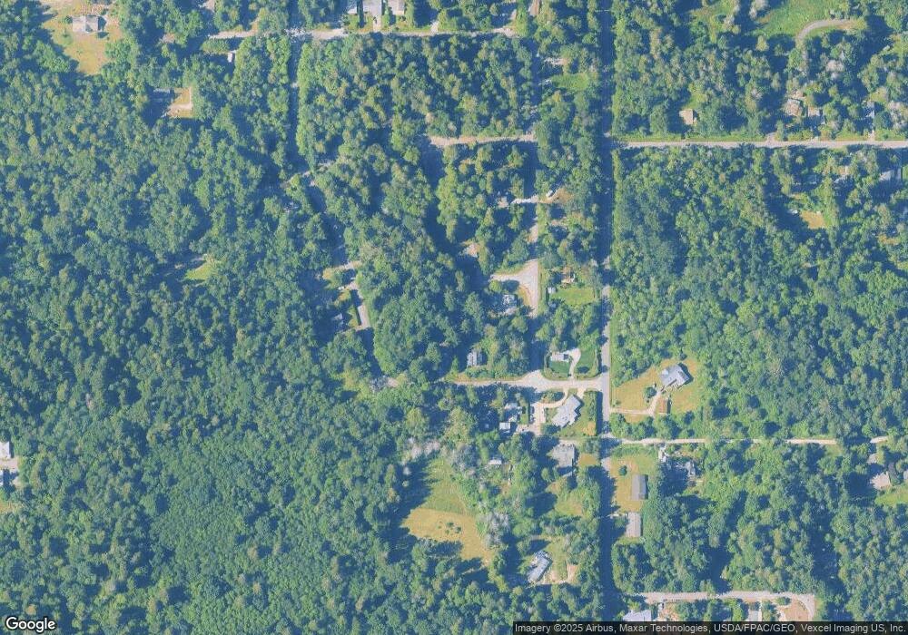
Map
Nearby Homes
- 0 Lot 7 Weasel Run Rd
- 6 Weasel Run Rd
- 500 Moose Trail
- 0 X Weasel Run
- 302 Boundary Bay Rd
- 4 Boundary Bay Rd
- Lot 35 Boundary Bay Rd
- 412 High Bluff Dr
- 2138 Benson Rd
- 2149 Seabright Loop
- 2128 Seabright Loop
- 2202 Seabright Loop
- 58 Seabright Loop
- 2045 Apa Rd
- Lot 2 Greenwood Dr
- 251 Elizabeth Dr
- 1976 Cedar Park Dr
- lot 14 Cedar Park Dr Unit 14
- 2250 Seabright Loop
- 2246 Seabright Loop
- 490 Moose Trail
- 492 Moose Trail
- 2175 Fox Hole Rd
- Lot 30 Foxhole Rd
- 2172 Foxhole Rd
- 470 Weasel Run
- 495 Moose Trail
- 5 Lot Weasel Run Rd
- 5 Weasel Run Rd
- 0 Lot 6 Weasel Run Rd
- 0 Weasel Run Rd
- 1 Weasel Run Rd
- 497 Moose Trail
- 462 Moose Trail
- 462 Weasel Run
- 475 Moose Trail
- 449 Weasel Rd
- 469 Moose Trail
- 499 Moose Trail
- 153537 Moose Trail