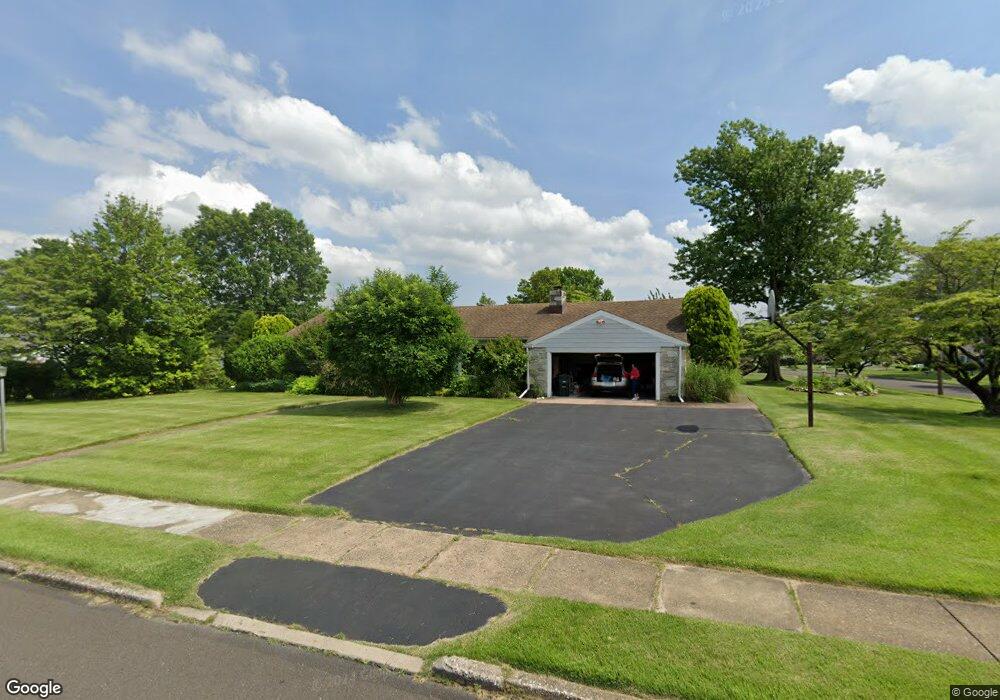
2171 Kent Rd Huntingdon Valley, PA 19006
Lower Moreland NeighborhoodEstimated Value: $529,137 - $584,000
3
Beds
2
Baths
1,508
Sq Ft
$369/Sq Ft
Est. Value
About This Home
This home is located at 2171 Kent Rd, Huntingdon Valley, PA 19006 and is currently estimated at $556,284, approximately $368 per square foot. 2171 Kent Rd is a home located in Montgomery County with nearby schools including Pine Road Elementary School, Murray Avenue School, and Lower Moreland High School.
Ownership History
Date
Name
Owned For
Owner Type
Purchase Details
Closed on
Nov 30, 2005
Sold by
Rudderow Charles K and Rudderow Karen E
Bought by
Katz Cipora
Current Estimated Value
Home Financials for this Owner
Home Financials are based on the most recent Mortgage that was taken out on this home.
Original Mortgage
$130,000
Outstanding Balance
$72,952
Interest Rate
6.34%
Estimated Equity
$483,332
Create a Home Valuation Report for This Property
The Home Valuation Report is an in-depth analysis detailing your home's value as well as a comparison with similar homes in the area
Home Values in the Area
Average Home Value in this Area
Purchase History
| Date | Buyer | Sale Price | Title Company |
|---|---|---|---|
| Katz Cipora | $349,000 | -- |
Source: Public Records
Mortgage History
| Date | Status | Borrower | Loan Amount |
|---|---|---|---|
| Open | Katz Cipora | $130,000 | |
| Closed | Katz Cipora | $145,000 |
Source: Public Records
Tax History Compared to Growth
Tax History
| Year | Tax Paid | Tax Assessment Tax Assessment Total Assessment is a certain percentage of the fair market value that is determined by local assessors to be the total taxable value of land and additions on the property. | Land | Improvement |
|---|---|---|---|---|
| 2025 | $8,297 | $164,350 | $53,640 | $110,710 |
| 2024 | $8,297 | $164,350 | $53,640 | $110,710 |
| 2023 | $7,930 | $164,350 | $53,640 | $110,710 |
| 2022 | $7,697 | $164,350 | $53,640 | $110,710 |
| 2021 | $7,539 | $164,350 | $53,640 | $110,710 |
| 2020 | $7,315 | $164,350 | $53,640 | $110,710 |
| 2019 | $7,206 | $164,350 | $53,640 | $110,710 |
| 2018 | $1,609 | $164,350 | $53,640 | $110,710 |
| 2017 | $6,796 | $164,350 | $53,640 | $110,710 |
| 2016 | $6,731 | $164,350 | $53,640 | $110,710 |
| 2015 | $6,324 | $164,350 | $53,640 | $110,710 |
| 2014 | $6,324 | $164,350 | $53,640 | $110,710 |
Source: Public Records
Map
Nearby Homes
- 0 Welsh Rd Unit 310 PAPH2537678
- 421 Jonathan Place
- 114 Almatt Place
- 1861 Lippincott Rd
- 9902 Player Dr
- 2270 Dale Rd
- 9231 Grace Ln
- 9810 Bridle Rd
- 9124 Springview Rd
- 116 Delia Ln
- 9812 Ferndale St
- 123 Pocasset Rd
- 9933 Medway Rd
- 134 Alburger Ave
- 21 Primrose Ln
- 637 Charette Rd
- 9945 Jeanes St
- 9825 Verree Rd
- 727 Sherrie Rd
- 132 Greycourt Rd