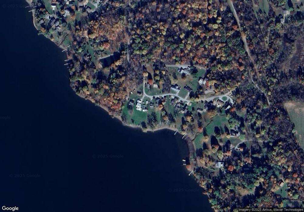
2171 Random Rd Jamestown, PA 16134
Estimated Value: $190,000 - $533,304
--
Bed
--
Bath
--
Sq Ft
7,754
Sq Ft Lot
About This Home
This home is located at 2171 Random Rd, Jamestown, PA 16134 and is currently estimated at $382,101. 2171 Random Rd is a home with nearby schools including Jamestown Area Elementary School and Jamestown Area Junior/Senior High School.
Ownership History
Date
Name
Owned For
Owner Type
Purchase Details
Closed on
Jul 21, 2023
Sold by
Fenton Family Revocable Declaration Of T
Bought by
Woyt Jennifer E and Woyt Bruce
Current Estimated Value
Purchase Details
Closed on
Mar 23, 2012
Sold by
Packard Ralph C and Packard Linda J
Bought by
Fenton Frank L and Fenton Mary Jane
Home Financials for this Owner
Home Financials are based on the most recent Mortgage that was taken out on this home.
Original Mortgage
$208,000
Interest Rate
3.95%
Create a Home Valuation Report for This Property
The Home Valuation Report is an in-depth analysis detailing your home's value as well as a comparison with similar homes in the area
Home Values in the Area
Average Home Value in this Area
Purchase History
| Date | Buyer | Sale Price | Title Company |
|---|---|---|---|
| Woyt Jennifer E | -- | None Listed On Document | |
| Fenton Frank L | $260,000 | None Available |
Source: Public Records
Mortgage History
| Date | Status | Borrower | Loan Amount |
|---|---|---|---|
| Previous Owner | Fenton Frank L | $208,000 |
Source: Public Records
Tax History Compared to Growth
Tax History
| Year | Tax Paid | Tax Assessment Tax Assessment Total Assessment is a certain percentage of the fair market value that is determined by local assessors to be the total taxable value of land and additions on the property. | Land | Improvement |
|---|---|---|---|---|
| 2025 | $455 | $17,285 | $2,000 | $15,285 |
| 2024 | $1,238 | $17,285 | $2,000 | $15,285 |
| 2023 | $1,207 | $16,850 | $2,000 | $14,850 |
| 2022 | $1,207 | $16,850 | $2,000 | $14,850 |
| 2021 | $1,207 | $16,850 | $2,000 | $14,850 |
| 2020 | $1,220 | $16,850 | $2,000 | $14,850 |
| 2019 | $1,195 | $16,850 | $2,000 | $14,850 |
| 2018 | $1,165 | $16,850 | $2,000 | $14,850 |
| 2017 | $1,154 | $16,850 | $2,000 | $14,850 |
| 2016 | $393 | $16,850 | $2,000 | $14,850 |
| 2015 | $393 | $16,850 | $2,000 | $14,850 |
| 2014 | -- | $16,850 | $2,000 | $14,850 |
Source: Public Records
Map
Nearby Homes
- 5802 Maple Way
- 2092 Mcarthur Rd
- 2308 Wirt Ave
- 2740 Maple Ln
- - Maple Ln
- 3244 Maple Ln
- 6915 Snodgrass Rd
- 1545 Meadow Dr
- 1521 Meadow Dr
- 7005 North Dr
- 3451 E State Rd
- 00 Muriel Ln
- 1900 Navaho Rd
- 4007 Westford Rd
- VL Martin Dr
- 982-983 Peach Dr
- 1.83 Acres Plymouth Ln
- 0000 Plymouth Ln
- VL Martin Dr
- 0 Plymouth Ln
