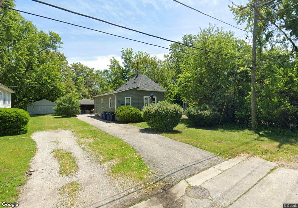
21715 Locust St Matteson, IL 60443
Old Matteson NeighborhoodEstimated Value: $88,000 - $169,000
2
Beds
1
Bath
900
Sq Ft
$150/Sq Ft
Est. Value
About This Home
This home is located at 21715 Locust St, Matteson, IL 60443 and is currently estimated at $135,106, approximately $150 per square foot. 21715 Locust St is a home located in Cook County with nearby schools including Illinois School, Matteson Elementary School, and Sauk Elementary School.
Ownership History
Date
Name
Owned For
Owner Type
Purchase Details
Closed on
Jan 24, 2007
Sold by
Wells Fargo Bank Minnesota Na
Bought by
Chatman Kenneth and Chatman Nicole
Current Estimated Value
Purchase Details
Closed on
Jul 21, 2005
Sold by
Steele Kenneth E
Bought by
Wells Fargo Bank Minnesota Na and Mastr Asset Backed Securities Trust 2002
Purchase Details
Closed on
Dec 21, 2000
Sold by
Steele Marie A
Bought by
Steele Kenneth E
Home Financials for this Owner
Home Financials are based on the most recent Mortgage that was taken out on this home.
Original Mortgage
$72,000
Interest Rate
12.91%
Create a Home Valuation Report for This Property
The Home Valuation Report is an in-depth analysis detailing your home's value as well as a comparison with similar homes in the area
Home Values in the Area
Average Home Value in this Area
Purchase History
| Date | Buyer | Sale Price | Title Company |
|---|---|---|---|
| Chatman Kenneth | $49,000 | Premier Title | |
| Wells Fargo Bank Minnesota Na | -- | -- | |
| Steele Kenneth E | -- | Lawyers Title Insurance Corp |
Source: Public Records
Mortgage History
| Date | Status | Borrower | Loan Amount |
|---|---|---|---|
| Previous Owner | Steele Kenneth E | $72,000 |
Source: Public Records
Tax History Compared to Growth
Tax History
| Year | Tax Paid | Tax Assessment Tax Assessment Total Assessment is a certain percentage of the fair market value that is determined by local assessors to be the total taxable value of land and additions on the property. | Land | Improvement |
|---|---|---|---|---|
| 2024 | $3,099 | $7,500 | $2,875 | $4,625 |
| 2023 | $2,789 | $7,500 | $2,875 | $4,625 |
| 2022 | $2,789 | $5,142 | $2,516 | $2,626 |
| 2021 | $2,827 | $5,141 | $2,515 | $2,626 |
| 2020 | $2,618 | $5,141 | $2,515 | $2,626 |
| 2019 | $3,423 | $6,614 | $2,335 | $4,279 |
| 2018 | $3,423 | $6,614 | $2,335 | $4,279 |
| 2017 | $3,286 | $6,614 | $2,335 | $4,279 |
| 2016 | $2,370 | $4,820 | $2,156 | $2,664 |
| 2015 | $2,350 | $4,820 | $2,156 | $2,664 |
| 2014 | $1,929 | $6,653 | $2,156 | $4,497 |
| 2013 | $2,064 | $7,412 | $2,156 | $5,256 |
Source: Public Records
Map
Nearby Homes
- 21607 Main St
- 3817 216th Place
- 3704 215th St Unit 205
- 3727 214th Place Unit 2
- 3809 215th St
- 3704 Linden Rd
- 3865 216th St
- 3712 214th St
- 183 Washington St
- 21829 Richton Rd
- 21945 Millard Ave
- 21635 Dogwood Rd Unit 1165
- 338 Waldmann Dr
- 182 Washington St
- 4083 Appleby Ct
- 21612 Wildflower Rd Unit 113-4
- 5013 Euclid Ln
- 356 Winnebago St
- 408 Westgate Dr
- 3919 214th St