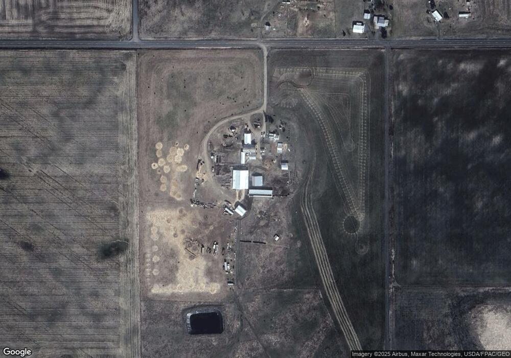
21715 W Coulee Hite Rd Spokane, WA 99224
Estimated Value: $506,000 - $801,000
3
Beds
1
Bath
1,048
Sq Ft
$590/Sq Ft
Est. Value
About This Home
This home is located at 21715 W Coulee Hite Rd, Spokane, WA 99224 and is currently estimated at $618,386, approximately $590 per square foot. 21715 W Coulee Hite Rd is a home located in Spokane County with nearby schools including Reardan Elementary & Middle School and Reardan Middle-Senior High School.
Ownership History
Date
Name
Owned For
Owner Type
Purchase Details
Closed on
May 17, 2019
Sold by
Spokane Family Farms Llc
Bought by
Colvin Steven Alan and Colvin Christina Ann
Current Estimated Value
Home Financials for this Owner
Home Financials are based on the most recent Mortgage that was taken out on this home.
Original Mortgage
$250,000
Outstanding Balance
$103,725
Interest Rate
4.1%
Mortgage Type
USDA
Estimated Equity
$514,661
Purchase Details
Closed on
Sep 9, 2013
Sold by
Roylance Jared and Roylance Katie
Bought by
Spokane Family Farms Llc
Purchase Details
Closed on
Apr 29, 2013
Sold by
Vieira Michael W and Vieira Trish L
Bought by
Roylance Jared and Roylance Katie
Purchase Details
Closed on
May 20, 2008
Sold by
Larson Sue and Pileggi David L
Bought by
Vieira Michael W and Vieira Trish L
Purchase Details
Closed on
Jan 30, 2004
Sold by
Larson Sue A
Bought by
Larson Sue A
Purchase Details
Closed on
Nov 15, 1995
Sold by
Koehler Albert W and Koehler Helen Irene
Bought by
Larson Donald W and Larson Sue A
Create a Home Valuation Report for This Property
The Home Valuation Report is an in-depth analysis detailing your home's value as well as a comparison with similar homes in the area
Home Values in the Area
Average Home Value in this Area
Purchase History
| Date | Buyer | Sale Price | Title Company |
|---|---|---|---|
| Colvin Steven Alan | $435,876 | Ticor Title | |
| Spokane Family Farms Llc | -- | Earl & Earl Inc Ps | |
| Roylance Jared | $409,280 | Spokane County Title Co | |
| Vieira Michael W | $450,000 | First American Title Ins Co | |
| Larson Sue A | -- | -- | |
| Larson Donald W | -- | None Available |
Source: Public Records
Mortgage History
| Date | Status | Borrower | Loan Amount |
|---|---|---|---|
| Open | Colvin Steven Alan | $250,000 |
Source: Public Records
Tax History Compared to Growth
Tax History
| Year | Tax Paid | Tax Assessment Tax Assessment Total Assessment is a certain percentage of the fair market value that is determined by local assessors to be the total taxable value of land and additions on the property. | Land | Improvement |
|---|---|---|---|---|
| 2025 | $2,604 | $533,510 | $215,210 | $318,300 |
| 2024 | $2,604 | $505,810 | $215,210 | $290,600 |
| 2023 | $2,447 | $470,920 | $168,520 | $302,400 |
| 2022 | $2,974 | $466,250 | $161,550 | $304,700 |
| 2021 | $2,943 | $320,460 | $69,260 | $251,200 |
| 2020 | $2,215 | $242,860 | $64,360 | $178,500 |
| 2019 | $2,085 | $241,560 | $64,360 | $177,200 |
| 2018 | $2,406 | $278,810 | $104,310 | $174,500 |
| 2017 | $2,253 | $233,260 | $64,360 | $168,900 |
| 2016 | $1,988 | $226,560 | $64,360 | $162,200 |
| 2015 | $1,962 | $218,260 | $57,360 | $160,900 |
| 2014 | -- | $178,460 | $57,360 | $121,100 |
| 2013 | -- | $0 | $0 | $0 |
Source: Public Records
Map
Nearby Homes
- 10812 N Arabian Ln
- 11015 N Ritchey Rd
- XXX N Wood Rd
- 11907 N Jared Ln
- 9500 N N Wood Rd
- 8XXX N Brooks Rd
- 20328 W Jacobs Rd
- 249015 W Kitt Rd
- 241XX W Kitt Rd
- 249014 W Kitt Rd
- xxxx W Vacant Land Rd
- 18427 W Burnett Rd
- 13952 N Dover Rd
- XXXX W Jacobs Rd Unit East Lot
- XXXX W Jacobs Rd Unit West Lot
- 21724 W Jacobs Rd
- 21322 W Jacobs Rd
- 0 W Jacobs Rd Unit SAR202516191
- 17712 W Burnett Rd
- 00 W Burnett Rd
- 21720 W Coulee Hite Rd
- 21602 W Coulee Hite Rd
- 21512 W Coulee Hite Rd
- 21308 W Coulee Hite Rd
- 21600 W Coulee Hite Rd
- 220XX W Coulee Hite Rd
- 21213 W Coulee Hite Rd
- 21101 W Coulee Hite Rd
- 20815 W Coulee Hite Rd
- 10312 N Ritchey Rd
- 22714 W Coulee Hite Rd
- 10311 N Ritchey Rd
- 22809 W Coulee Hite Rd
- 20710 W Coulee Hite Rd
- 20802 W Coulee Hite Rd
- 20617 W Coulee Hite Rd
- 9110 N Rodenbough Ln
- 20611 W Coulee Hite Rd
- 10409 N Ritchey Rd
- 8824 N Rodenbough Ln