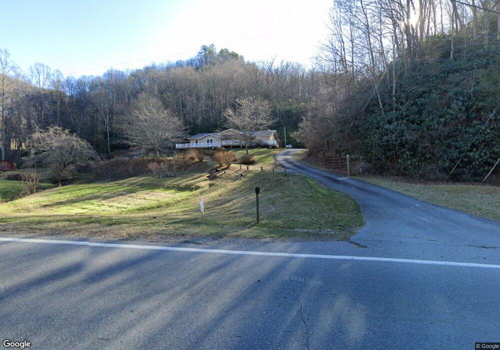
21718 Us 19 Andrews, NC 28901
Estimated Value: $389,706 - $590,000
4
Beds
3
Baths
2,144
Sq Ft
$227/Sq Ft
Est. Value
About This Home
This home is located at 21718 Us 19, Andrews, NC 28901 and is currently estimated at $486,427, approximately $226 per square foot. 21718 Us 19 is a home located in Cherokee County with nearby schools including Andrews Elementary School, Andrews Middle School, and Andrews High School.
Ownership History
Date
Name
Owned For
Owner Type
Purchase Details
Closed on
May 23, 2024
Sold by
Morgan Erman Jerry and Morgan Debra West
Bought by
Bonk Amber and Krebs Michael
Current Estimated Value
Home Financials for this Owner
Home Financials are based on the most recent Mortgage that was taken out on this home.
Original Mortgage
$372,000
Interest Rate
7.03%
Mortgage Type
New Conventional
Purchase Details
Closed on
Jul 1, 1993
Bought by
Morgan Erman Jerry and Morgan W
Create a Home Valuation Report for This Property
The Home Valuation Report is an in-depth analysis detailing your home's value as well as a comparison with similar homes in the area
Home Values in the Area
Average Home Value in this Area
Purchase History
| Date | Buyer | Sale Price | Title Company |
|---|---|---|---|
| Bonk Amber | $496,000 | None Listed On Document | |
| Morgan Erman Jerry | -- | -- |
Source: Public Records
Mortgage History
| Date | Status | Borrower | Loan Amount |
|---|---|---|---|
| Previous Owner | Bonk Amber | $372,000 |
Source: Public Records
Tax History
| Year | Tax Paid | Tax Assessment Tax Assessment Total Assessment is a certain percentage of the fair market value that is determined by local assessors to be the total taxable value of land and additions on the property. | Land | Improvement |
|---|---|---|---|---|
| 2025 | $1,734 | $248,410 | $0 | $0 |
| 2024 | $18 | $255,950 | $0 | $0 |
| 2023 | $1,778 | $255,950 | $0 | $0 |
| 2022 | $1,778 | $255,950 | $0 | $0 |
| 2021 | $1,496 | $255,950 | $8,000 | $247,950 |
| 2020 | $1,393 | $255,950 | $0 | $0 |
| 2019 | $1,182 | $190,630 | $0 | $0 |
| 2018 | $1,182 | $190,630 | $0 | $0 |
| 2017 | $1,182 | $190,630 | $0 | $0 |
| 2016 | $1,182 | $190,630 | $0 | $0 |
| 2015 | $1,179 | $190,630 | $22,130 | $168,500 |
| 2012 | -- | $190,630 | $22,130 | $168,500 |
Source: Public Records
Map
Nearby Homes
- 1136 Granny Squirrel Dr
- 34 Kadie Ln
- 175 Pine Ridge Dr
- LT 170 Granny Squirrel Dr
- 1621 Granny Squirrel Dr
- 119 Rhododenron
- 24 Cahill Dr
- 168 Laramie Heights
- 221 Serenity Ridge Trail
- Lot 17 Black Bear Trail
- Lot 19 Preserve Valley Rd
- 00
- 00 Deer Run - Lot 25
- 00
- 00 Deer Run - Lot 27
- TBD Mclean Rd
- Lot 18 Black Bear Trail
- 00
- 00 Noon Day Sun Ridge
- 1050 U S 19
- 21718 U S 19
- 21760 Us 19
- 21755 Us 19
- 42 Bryson Branch Rd
- 23 Bryson Branch Rd
- 91 Bryson Branch Rd
- 167 Bryson Branch Rd
- 142 Grassy Knob Rd
- 250 Bryson Branch Rd
- 270 Bryson Branch Rd
- 22181 Us Hwy 19
- 22181 U S 19
- 22181 Us 19
- 22181 U S Highway 19
- 249 Grassy Knob Rd
- 506 Stover Rd
- 0 Us Hwy 19 &129
- 21145 Us 19
- 150 Red West Rd
- 1285 Red Marble Rd
Your Personal Tour Guide
Ask me questions while you tour the home.