2172 Cedar Rd Matthews, GA 30818
Estimated Value: $113,000 - $196,000
3
Beds
2
Baths
1,500
Sq Ft
$111/Sq Ft
Est. Value
About This Home
This home is located at 2172 Cedar Rd, Matthews, GA 30818 and is currently estimated at $166,050, approximately $110 per square foot. 2172 Cedar Rd is a home located in Jefferson County with nearby schools including Jefferson County High School.
Ownership History
Date
Name
Owned For
Owner Type
Purchase Details
Closed on
Jun 9, 2020
Sold by
Englett Brandi
Bought by
Norris Tiffany Nichole
Current Estimated Value
Purchase Details
Closed on
Mar 19, 2012
Sold by
Queensborough National Ban
Bought by
Englett Brandi
Purchase Details
Closed on
Aug 22, 2011
Sold by
Hannah Shamika Q
Bought by
Queensborough National Bank & Trust Comp
Purchase Details
Closed on
Jun 5, 2006
Sold by
Martin Ernestine
Bought by
Sda & Associates Inc
Purchase Details
Closed on
May 30, 2006
Sold by
Sda & Associates Inc
Bought by
Hannah Shamika Q
Purchase Details
Closed on
Dec 22, 2005
Sold by
Cassady Douglas
Bought by
S D A & Associates Inc
Create a Home Valuation Report for This Property
The Home Valuation Report is an in-depth analysis detailing your home's value as well as a comparison with similar homes in the area
Purchase History
| Date | Buyer | Sale Price | Title Company |
|---|---|---|---|
| Norris Tiffany Nichole | -- | -- | |
| Englett Brandi | $20,350 | -- | |
| Queensborough National Bank & Trust Comp | -- | -- | |
| Sda & Associates Inc | -- | -- | |
| Hannah Shamika Q | $60,000 | -- | |
| S D A & Associates Inc | $20,000 | -- |
Source: Public Records
Tax History
| Year | Tax Paid | Tax Assessment Tax Assessment Total Assessment is a certain percentage of the fair market value that is determined by local assessors to be the total taxable value of land and additions on the property. | Land | Improvement |
|---|---|---|---|---|
| 2025 | $1,718 | $49,809 | $4,441 | $45,368 |
| 2024 | $1,380 | $43,390 | $3,862 | $39,528 |
| 2023 | $1,492 | $44,109 | $6,144 | $37,965 |
| 2022 | $1,285 | $37,829 | $6,144 | $31,685 |
| 2021 | $1,298 | $36,643 | $5,120 | $31,523 |
| 2020 | $1,305 | $36,770 | $5,120 | $31,650 |
| 2019 | $1,298 | $35,892 | $5,120 | $30,772 |
| 2018 | $1,275 | $34,607 | $4,864 | $29,743 |
| 2017 | $1,266 | $34,261 | $4,608 | $29,653 |
| 2016 | $1,136 | $33,537 | $4,864 | $28,673 |
| 2015 | -- | $32,864 | $5,120 | $27,744 |
| 2014 | -- | $33,576 | $5,120 | $28,456 |
| 2013 | -- | $35,688 | $5,120 | $30,567 |
Source: Public Records
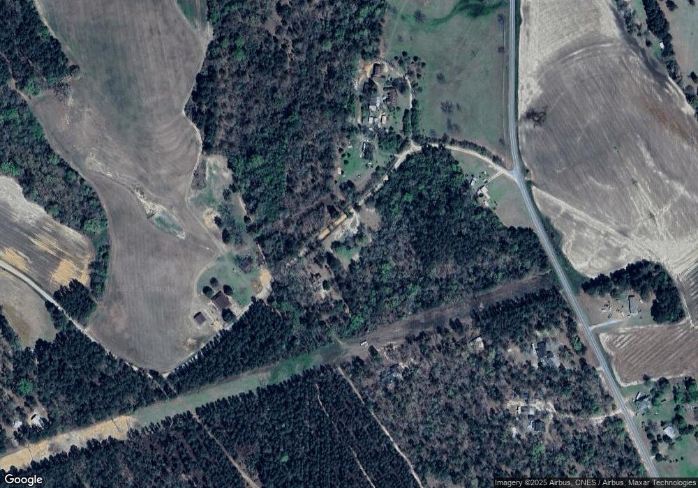
Map
Nearby Homes
- 5974 Deans Bridge Rd
- 0 Georgia 88 Unit 540130
- 2576 Jessie James Pond Rd
- 2579 Jessie James Pond Rd
- 3979 Campground Rd
- 0 Old Waynesboro Rd
- 3229 Keysville-Boggs Academy Rd
- 351 Mini Farms Dr
- 541 Bent Knee Rd
- 11c & 12c Mini Farms Rd
- 1526 Houston Dr
- 685 Bent Knee Rd
- 3129 Goolsby Rd
- 0 Twin Pines Rd Unit 509137
- 3662 Hwy 88
- 201 Ramsgate Dr
- 321 Terrace Hill Rd
- 319 Terrace Hill Rd
- 103 Ohio St
- 3621 Ga Highway 88
- 2122 Cedar Rd
- 2110 Cedar Rd
- 2265 Cedar Rd
- 10465 Campground Rd
- 10431 Campground Rd
- 10293 Campground Rd
- 10400 Campground Rd
- 10795 Campground Rd
- 10263 Campground Rd
- 10388 Campground Rd
- 2051 Cedar Rd
- 1812 Cedar Rd
- 10975 Campground Rd
- 1250 Miller Place Rd
- 10205 Campground Rd
- 1306 Miller Place Rd
- 1340 Miller Place Rd
- 11081 Campground Rd
- 1536 Cedar Rd
- 649 N Fairview Dr
Your Personal Tour Guide
Ask me questions while you tour the home.