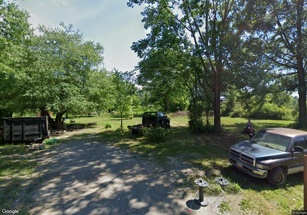
21721 Middletown Rd Alliance, OH 44601
Estimated Value: $11,000
3
Beds
2
Baths
942
Sq Ft
$12/Sq Ft
Est. Value
About This Home
This home is located at 21721 Middletown Rd, Alliance, OH 44601 and is currently estimated at $11,000, approximately $11 per square foot. 21721 Middletown Rd is a home with nearby schools including West Branch Middle School, West Branch Early Learning Center, and West Branch High School.
Ownership History
Date
Name
Owned For
Owner Type
Purchase Details
Closed on
Feb 11, 2025
Sold by
French Phillip E and French Donna E
Bought by
Howes Keith E and Barcey Gabrielle A
Current Estimated Value
Purchase Details
Closed on
Apr 24, 2020
Sold by
Lemasters Leonard M
Bought by
French Phillip E and French Donna E
Purchase Details
Closed on
Aug 17, 1987
Bought by
Lemasters Richard M
Create a Home Valuation Report for This Property
The Home Valuation Report is an in-depth analysis detailing your home's value as well as a comparison with similar homes in the area
Home Values in the Area
Average Home Value in this Area
Purchase History
| Date | Buyer | Sale Price | Title Company |
|---|---|---|---|
| Howes Keith E | $10,000 | None Listed On Document | |
| Howes Keith E | $10,000 | None Listed On Document | |
| French Phillip E | $1,140 | None Available | |
| Lemasters Richard M | -- | -- |
Source: Public Records
Tax History Compared to Growth
Tax History
| Year | Tax Paid | Tax Assessment Tax Assessment Total Assessment is a certain percentage of the fair market value that is determined by local assessors to be the total taxable value of land and additions on the property. | Land | Improvement |
|---|---|---|---|---|
| 2024 | $198 | $5,370 | $5,370 | -- |
| 2023 | $195 | $5,370 | $5,370 | $0 |
| 2022 | $283 | $6,930 | $6,720 | $210 |
| 2021 | $283 | $6,930 | $6,720 | $210 |
| 2020 | $284 | $6,930 | $6,720 | $210 |
| 2019 | $300 | $6,900 | $6,720 | $180 |
| 2018 | $340 | $6,900 | $6,720 | $180 |
| 2017 | $291 | $6,900 | $6,720 | $180 |
| 2016 | $442 | $10,580 | $6,960 | $3,620 |
| 2015 | $451 | $10,580 | $6,960 | $3,620 |
| 2014 | $431 | $10,580 | $6,960 | $3,620 |
| 2013 | $427 | $10,580 | $6,960 | $3,620 |
Source: Public Records
Map
Nearby Homes
- 15789 Coalbank St NE
- 20871 N Benton Rd W
- 10985 Johnson Rd
- 15520 Coalbank St NE
- 0 Knoll St NE
- 15995 Elbrook St NE
- 15832 Waverly St NE
- 11310 Webb Ave NE
- 11344 Walnut Ave NE
- 11030 12th St
- 13600 Caldwell Ave
- 652 N Webb Ave
- 263 Franklin Ave
- 1214 Jersey St
- 670 W Maryland Ave
- 124 E Wayne St
- 154 W Nevada Ave Unit 154
- 625 W Maryland Ave
- 1235 Elm St
- 710 N Freedom Ave
- 21726 Middletown Rd
- 21801 Middletown Rd
- 21923 Middletown Rd
- 21190 Middletown Rd
- 21482 Middletown Rd
- 0 W Middletown Rd Unit 4493445
- 0 W Middletown Rd
- 10530 Martin Rd
- 10520 Martin Rd
- 11096 Bandy Rd
- 11230 Bandy Rd
- 10006 Martin Rd
- 11290 Oyster Rd
- 20930 Middletown Rd
- 10675 Oyster Rd
- 11511 Oyster Rd
- 11787 Oyster Rd
- 11521 Oyster Rd
- 11590 Oyster Rd
- 11598 Oyster Rd