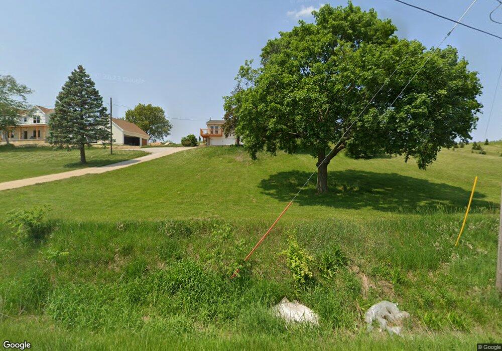
21729 Route 2 and 92 Port Byron, IL 61275
Estimated Value: $217,000 - $496,607
--
Bed
--
Bath
1,176
Sq Ft
$255/Sq Ft
Est. Value
About This Home
This home is located at 21729 Route 2 and 92, Port Byron, IL 61275 and is currently estimated at $300,402, approximately $255 per square foot. 21729 Route 2 and 92 is a home located in Rock Island County with nearby schools including Riverdale Elementary School, Riverdale Middle School, and Riverdale Senior High School.
Ownership History
Date
Name
Owned For
Owner Type
Purchase Details
Closed on
Oct 9, 2018
Sold by
Mumma James L and Mumma Joan M
Bought by
Sowder Robert M and Sowder Katie A
Current Estimated Value
Home Financials for this Owner
Home Financials are based on the most recent Mortgage that was taken out on this home.
Original Mortgage
$297,500
Outstanding Balance
$261,401
Interest Rate
5.27%
Mortgage Type
New Conventional
Estimated Equity
$39,001
Create a Home Valuation Report for This Property
The Home Valuation Report is an in-depth analysis detailing your home's value as well as a comparison with similar homes in the area
Home Values in the Area
Average Home Value in this Area
Purchase History
| Date | Buyer | Sale Price | Title Company |
|---|---|---|---|
| Sowder Robert M | -- | Mason And Scott Pc |
Source: Public Records
Mortgage History
| Date | Status | Borrower | Loan Amount |
|---|---|---|---|
| Open | Sowder Robert M | $297,500 |
Source: Public Records
Tax History Compared to Growth
Tax History
| Year | Tax Paid | Tax Assessment Tax Assessment Total Assessment is a certain percentage of the fair market value that is determined by local assessors to be the total taxable value of land and additions on the property. | Land | Improvement |
|---|---|---|---|---|
| 2024 | $4,074 | $64,159 | $8,661 | $55,498 |
| 2023 | $4,074 | $58,862 | $7,946 | $50,916 |
| 2022 | $3,559 | $55,530 | $7,496 | $48,034 |
| 2021 | $3,469 | $52,635 | $7,105 | $45,530 |
| 2020 | $3,414 | $51,857 | $7,000 | $44,857 |
| 2019 | $3,377 | $51,857 | $7,000 | $44,857 |
| 2018 | $3,377 | $51,901 | $3,979 | $47,922 |
| 2017 | $3,757 | $51,901 | $3,979 | $47,922 |
| 2016 | $2,919 | $51,184 | $3,924 | $47,260 |
| 2015 | $2,727 | $48,153 | $3,692 | $44,461 |
| 2014 | $605 | $46,301 | $3,550 | $42,751 |
| 2013 | $605 | $46,301 | $3,550 | $42,751 |
Source: Public Records
Map
Nearby Homes
- 3808 229th Street Cir N
- 4022 229th Street Cir N
- 3829 229th Street Cir N
- 4014 229th Street Cir N
- 4008 229th Street Cir N
- 3901 229th Street Cir N
- 3905 229th Street Cir N
- 4001 229th Street Cir N
- 3929 229th Street Cir N
- 3913 229th Street Cir N
- 3917 229th Street Cir N
- 5216 227th Street Ct N
- 5122 230th St N
- 1001 9th
- Lot 5 52nd Ave N
- 18616 35th Ave N
- 1303 8th Ave
- 807 14th
- 811 14th
- 809 14th
- 21729 Route 2 and 92
- 21621 Rt 2 & 92
- 22001 Route 2 and 92
- 3404 221st St N
- 3428 221st St N
- 3418 221st St N
- 2507 Little Cabin
- 3430 221st St N
- 21621 Route 2 & 92
- 3417 221st St N
- 3614 221st St N
- 3503 221st St N
- 3100 214th St N
- 3700 221st St N
- 267 214th St N
- 40 214th St N
- 250 214th St N
- 21621 Route 2 and 92
- 21621 Route 2 Unit Rte92
- 21621 Route 2